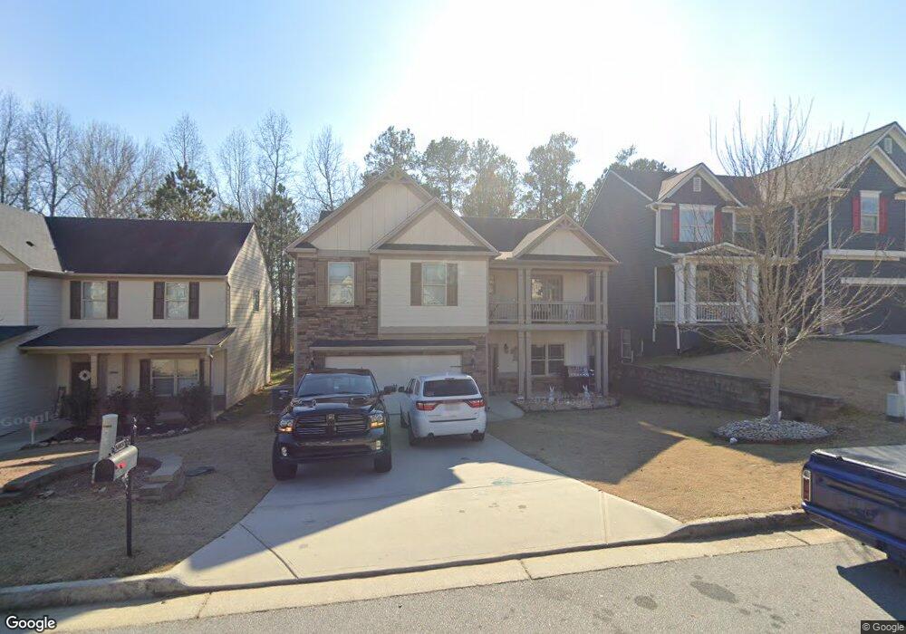
5083 Manning Dr Unit 14 Douglasville, GA 30135
Estimated Value: $356,986 - $404,000
4
Beds
3
Baths
2,422
Sq Ft
$157/Sq Ft
Est. Value
About This Home
This home is located at 5083 Manning Dr Unit 14, Douglasville, GA 30135 and is currently estimated at $379,747, approximately $156 per square foot. 5083 Manning Dr Unit 14 is a home located in Douglas County with nearby schools including Mt. Carmel Elementary School, Chestnut Log Middle School, and New Manchester High School.
Ownership History
Date
Name
Owned For
Owner Type
Purchase Details
Closed on
Mar 10, 2017
Sold by
Kerley Family Homes Llc
Bought by
Garcia V Candy
Current Estimated Value
Home Financials for this Owner
Home Financials are based on the most recent Mortgage that was taken out on this home.
Original Mortgage
$196,278
Outstanding Balance
$160,829
Interest Rate
3.75%
Mortgage Type
FHA
Estimated Equity
$218,918
Purchase Details
Closed on
Nov 28, 2012
Sold by
Redus Atlanta Housing Llc
Bought by
Boeix Llc
Create a Home Valuation Report for This Property
The Home Valuation Report is an in-depth analysis detailing your home's value as well as a comparison with similar homes in the area
Home Values in the Area
Average Home Value in this Area
Purchase History
| Date | Buyer | Sale Price | Title Company |
|---|---|---|---|
| Garcia V Candy | $199,900 | -- | |
| Boeix Llc | $124,854 | -- |
Source: Public Records
Mortgage History
| Date | Status | Borrower | Loan Amount |
|---|---|---|---|
| Open | Garcia V Candy | $196,278 |
Source: Public Records
Tax History Compared to Growth
Tax History
| Year | Tax Paid | Tax Assessment Tax Assessment Total Assessment is a certain percentage of the fair market value that is determined by local assessors to be the total taxable value of land and additions on the property. | Land | Improvement |
|---|---|---|---|---|
| 2024 | $6,286 | $151,240 | $27,000 | $124,240 |
| 2023 | $6,286 | $151,240 | $27,000 | $124,240 |
| 2022 | $4,844 | $119,400 | $18,000 | $101,400 |
| 2021 | $4,616 | $113,360 | $19,600 | $93,760 |
| 2020 | $3,600 | $86,760 | $14,560 | $72,200 |
| 2019 | $3,327 | $84,680 | $14,560 | $70,120 |
| 2018 | $3,164 | $80,720 | $14,240 | $66,480 |
| 2017 | $2,954 | $73,880 | $14,720 | $59,160 |
| 2016 | $213 | $5,240 | $5,240 | $0 |
| 2015 | $169 | $4,840 | $4,840 | $0 |
| 2014 | $169 | $4,840 | $4,840 | $0 |
| 2013 | -- | $7,440 | $7,440 | $0 |
Source: Public Records
Map
Nearby Homes
- 5083 Manning Dr Unit 18
- 5083 Manning Dr
- 5081 Manning Dr Unit 17
- 5081 Manning Dr
- 5085 Manning Dr
- 5079 Manning Dr Unit 16
- 5079 Manning Dr
- 5077 Manning Dr Unit 34
- 5077 Manning Dr Unit 15
- 5077 Manning Dr
- 5078 Manning Dr
- 5082 Manning Dr
- 5076 Manning Dr
- 5074 Manning Dr
- 5074 Manning Dr Unit 23
- 5075 Manning Dr Unit 14
- 5075 Manning Dr
- 5072 Manning Dr
- 5073 Manning Dr
- 5073 Manning Dr Unit 23