5085 Mascaro Dr Las Vegas, NV 89122
Estimated Value: $303,417 - $323,000
2
Beds
2
Baths
1,088
Sq Ft
$290/Sq Ft
Est. Value
About This Home
This home is located at 5085 Mascaro Dr, Las Vegas, NV 89122 and is currently estimated at $315,604, approximately $290 per square foot. 5085 Mascaro Dr is a home located in Clark County with nearby schools including Sister Robert Joseph Bailey Elementary School, Francis H Cortney Junior High School, and Basic Academy of International Studies.
Ownership History
Date
Name
Owned For
Owner Type
Purchase Details
Closed on
Sep 21, 2001
Sold by
Plaster Development Company Inc
Bought by
Sandoval Joe M and Sandoval Maria C
Current Estimated Value
Home Financials for this Owner
Home Financials are based on the most recent Mortgage that was taken out on this home.
Original Mortgage
$65,450
Outstanding Balance
$25,373
Interest Rate
6.91%
Estimated Equity
$290,231
Create a Home Valuation Report for This Property
The Home Valuation Report is an in-depth analysis detailing your home's value as well as a comparison with similar homes in the area
Home Values in the Area
Average Home Value in this Area
Purchase History
| Date | Buyer | Sale Price | Title Company |
|---|---|---|---|
| Sandoval Joe M | $116,562 | First American Title Co |
Source: Public Records
Mortgage History
| Date | Status | Borrower | Loan Amount |
|---|---|---|---|
| Open | Sandoval Joe M | $65,450 |
Source: Public Records
Tax History Compared to Growth
Tax History
| Year | Tax Paid | Tax Assessment Tax Assessment Total Assessment is a certain percentage of the fair market value that is determined by local assessors to be the total taxable value of land and additions on the property. | Land | Improvement |
|---|---|---|---|---|
| 2025 | $760 | $71,435 | $21,350 | $50,085 |
| 2024 | $738 | $71,435 | $21,350 | $50,085 |
| 2023 | $738 | $72,494 | $25,200 | $47,294 |
| 2022 | $717 | $63,194 | $19,950 | $43,244 |
| 2021 | $696 | $59,403 | $18,200 | $41,203 |
| 2020 | $673 | $58,421 | $17,500 | $40,921 |
| 2019 | $653 | $54,550 | $14,350 | $40,200 |
| 2018 | $634 | $48,020 | $11,550 | $36,470 |
| 2017 | $1,345 | $45,499 | $10,850 | $34,649 |
| 2016 | $602 | $38,105 | $7,350 | $30,755 |
| 2015 | $600 | $28,659 | $5,600 | $23,059 |
| 2014 | $582 | $20,563 | $3,500 | $17,063 |
Source: Public Records
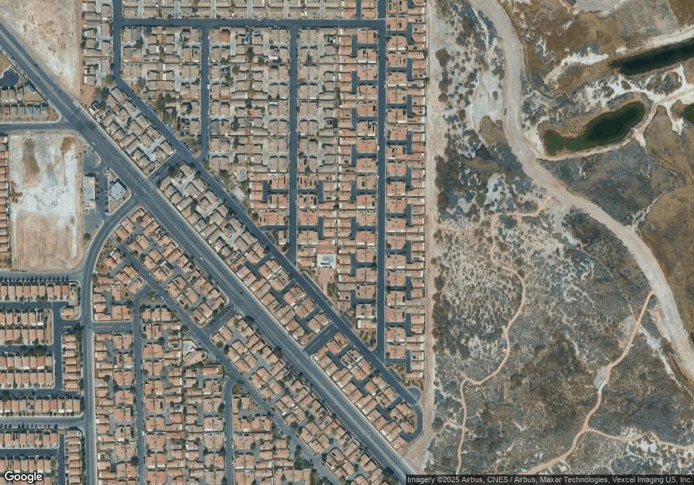
Map
Nearby Homes
- 5061 Droubay Dr
- 5043 Mascaro Dr
- 5129 Midnight Oil Dr
- 5114 Mascaro Dr
- 4971 Droubay Dr Unit A
- 4940 Mascaro Dr
- 5196 Mineral Lake Dr
- 6676 Black Oil Dr
- 5230 Panguitch Dr
- 5236 Jewel Canyon Dr
- 6693 Diamond Care Dr
- 6659 Diamond Care Dr Unit C
- 5279 Mineral Lake Dr Unit C
- 5297 Mineral Lake Dr
- 6483 Brook Cottage Ln
- 5314 Cape Henry St
- 6709 Brick House Ave
- 6495 Chettle House Ln
- 5344 Cape Henry St
- 6443 Burlap Ct
- 5103 Mascaro Dr
- 5081 Mascaro Dr Unit B
- 5107 Mascaro Dr
- 5082 Droubay Dr
- 5077 Mascaro Dr Unit B
- 5093 Mascaro Dr
- 5074 Droubay Dr Unit B
- 5069 Mascaro Dr
- 5111 Mascaro Dr
- 5073 Mascaro Dr
- 5095 Mascaro Dr
- 5070 Droubay Dr
- 5086 Droubay Dr Unit B
- 5065 Mascaro Dr
- 5119 Mascaro Dr
- 5115 Mascaro Dr
- 5055 Mascaro Dr
- 5092 Droubay Dr
- 5066 Droubay Dr
- 5052 Droubay Dr Unit B