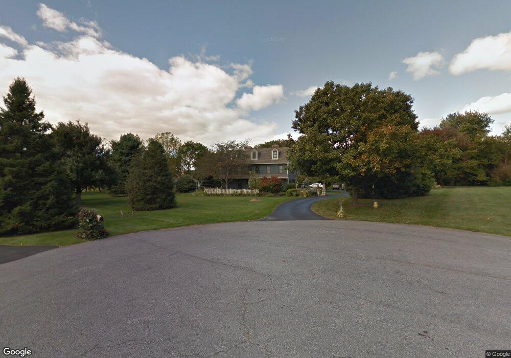
5085 Westfield Dr Macungie, PA 18062
Lower Macungie Township East NeighborhoodEstimated Value: $623,000 - $1,001,000
5
Beds
5
Baths
5,105
Sq Ft
$163/Sq Ft
Est. Value
About This Home
This home is located at 5085 Westfield Dr, Macungie, PA 18062 and is currently estimated at $832,166, approximately $163 per square foot. 5085 Westfield Dr is a home located in Lehigh County with nearby schools including Macungie Elementary School, Eyer Middle School, and Emmaus High School.
Ownership History
Date
Name
Owned For
Owner Type
Purchase Details
Closed on
Dec 30, 1987
Sold by
Iula Nicholas R and Iula Patricia A
Bought by
Short Glenn M and Short Rebecca R
Current Estimated Value
Purchase Details
Closed on
Apr 22, 1985
Sold by
Mcteague Jr Robert P and Mcteague Marilyn F
Bought by
Iula Nicholas R and Iula Patricia A
Purchase Details
Closed on
Jul 11, 1984
Bought by
Mcteague Robert P and Mcteague Marilyn F
Create a Home Valuation Report for This Property
The Home Valuation Report is an in-depth analysis detailing your home's value as well as a comparison with similar homes in the area
Home Values in the Area
Average Home Value in this Area
Purchase History
| Date | Buyer | Sale Price | Title Company |
|---|---|---|---|
| Short Glenn M | $100,000 | -- | |
| Iula Nicholas R | $63,000 | -- | |
| Mcteague Robert P | $45,000 | -- |
Source: Public Records
Tax History Compared to Growth
Tax History
| Year | Tax Paid | Tax Assessment Tax Assessment Total Assessment is a certain percentage of the fair market value that is determined by local assessors to be the total taxable value of land and additions on the property. | Land | Improvement |
|---|---|---|---|---|
| 2025 | $13,847 | $542,400 | $49,900 | $492,500 |
| 2024 | $13,397 | $542,400 | $49,900 | $492,500 |
| 2023 | $13,130 | $542,400 | $49,900 | $492,500 |
| 2022 | $12,819 | $542,400 | $492,500 | $49,900 |
| 2021 | $12,546 | $542,400 | $49,900 | $492,500 |
| 2020 | $12,427 | $542,400 | $49,900 | $492,500 |
| 2019 | $12,215 | $542,400 | $49,900 | $492,500 |
| 2018 | $12,055 | $542,400 | $49,900 | $492,500 |
| 2017 | $11,844 | $542,400 | $49,900 | $492,500 |
| 2016 | -- | $542,400 | $49,900 | $492,500 |
| 2015 | -- | $542,400 | $49,900 | $492,500 |
| 2014 | -- | $542,400 | $49,900 | $492,500 |
Source: Public Records
Map
Nearby Homes
- 5175 Meadowview Dr
- 2173 Brookside Rd
- 4762 Steeplechase Dr Unit 13C
- 1675 Hamlet Dr
- 5280 Townsquare Dr
- 2560 Gracie Lone
- 2518 Stanford Cir
- 1991 Autumn Ridge Rd
- 5133 Meadow Ln
- Henley Plan at Mountainview Estates
- Penny Plan at Mountainview Estates
- 2041 Gregory Dr
- 2691 Terrwood Dr W Unit 176
- 2096 Gregory Dr
- 2153 Isabel Ln
- 2056 Autumn Ridge Rd
- 2570 Millbrook Dr
- 2117 Isabel Ln
- 5706 Whitemarsh Dr
- 1385 Brookside Rd
- 5070 Westfield Dr
- 5055 Westfield Dr
- 5040 Westfield Dr
- 2201 N Brookside Rd
- 5190 Lower MacUngie Rd
- 5090 Lower MacUngie Rd
- 4920 Lower MacUngie Rd
- 5025 Lower MacUngie Rd
- 4930 Lower MacUngie Rd
- 5005 Lower MacUngie Rd
- 4970 Lower MacUngie Rd
- 5001 Lower MacUngie Rd
- 4933 Steeplechase Dr Unit 32B
- 1975 Fallow Ct
- 4921 Steeplechase Dr Unit 30A
- 4915 Lower MacUngie Rd
- 4923 Steeplechase Dr Unit 30B
- 4913 Steeplechase Dr Unit 28B
- 4948 Steeplechase Dr Unit 34B