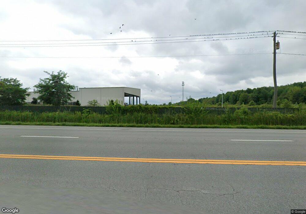
5086 Tod Ave SW Warren, OH 44481
Estimated Value: $179,000 - $218,000
3
Beds
1
Bath
1,232
Sq Ft
$160/Sq Ft
Est. Value
About This Home
This home is located at 5086 Tod Ave SW, Warren, OH 44481 and is currently estimated at $197,033, approximately $159 per square foot. 5086 Tod Ave SW is a home with nearby schools including Bristol Elementary School and Bristol High School.
Ownership History
Date
Name
Owned For
Owner Type
Purchase Details
Closed on
Jul 18, 2016
Sold by
Lehman Christian D and Lehman Elaina M
Bought by
Allison James R and Allison Betty
Current Estimated Value
Home Financials for this Owner
Home Financials are based on the most recent Mortgage that was taken out on this home.
Original Mortgage
$129,393
Outstanding Balance
$103,361
Interest Rate
3.6%
Mortgage Type
New Conventional
Estimated Equity
$93,672
Purchase Details
Closed on
Jun 1, 2004
Sold by
Jarrell Larry R
Bought by
Lehman Christian D and Lehman Elaina N
Purchase Details
Closed on
Jan 1, 1990
Bought by
Larry R Jarrell
Create a Home Valuation Report for This Property
The Home Valuation Report is an in-depth analysis detailing your home's value as well as a comparison with similar homes in the area
Home Values in the Area
Average Home Value in this Area
Purchase History
| Date | Buyer | Sale Price | Title Company |
|---|---|---|---|
| Allison James R | $120,000 | Village Title Agency | |
| Lehman Christian D | $104,410 | -- | |
| Larry R Jarrell | -- | -- |
Source: Public Records
Mortgage History
| Date | Status | Borrower | Loan Amount |
|---|---|---|---|
| Open | Allison James R | $129,393 | |
| Closed | Lehman Christian D | -- |
Source: Public Records
Tax History Compared to Growth
Tax History
| Year | Tax Paid | Tax Assessment Tax Assessment Total Assessment is a certain percentage of the fair market value that is determined by local assessors to be the total taxable value of land and additions on the property. | Land | Improvement |
|---|---|---|---|---|
| 2024 | $2,097 | $49,740 | $4,830 | $44,910 |
| 2023 | $2,097 | $49,740 | $4,830 | $44,910 |
| 2022 | $1,779 | $39,100 | $4,520 | $34,580 |
| 2021 | $1,783 | $39,100 | $4,520 | $34,580 |
| 2020 | $1,787 | $39,100 | $4,520 | $34,580 |
| 2019 | $1,753 | $34,760 | $4,170 | $30,590 |
| 2018 | $1,763 | $34,760 | $4,170 | $30,590 |
| 2017 | $1,753 | $34,760 | $4,170 | $30,590 |
| 2016 | $1,578 | $32,170 | $3,710 | $28,460 |
| 2015 | $1,576 | $32,170 | $3,710 | $28,460 |
| 2014 | $1,571 | $32,170 | $3,710 | $28,460 |
| 2013 | $1,575 | $32,170 | $3,710 | $28,460 |
Source: Public Records
Map
Nearby Homes
- 288 Bristol Champion NE
- 625 Bristol Champion Townline Rd NW
- 398 Bristol Champion Townline Rd NW
- 2693 Mahan Denman Rd NW
- 634 Bristol Champion Townline Rd NE
- 2494 Mahan Denman Rd NW
- 6388 Brianna Way NW
- 6227 Mahoning Ave NW
- 722 Airport Rd NW
- 6206 Downs Rd NW
- 6102 Corey Hunt Rd
- 0 Shaffer Rd NW
- 5110 N Park Ave
- 27 Danbury Ct NW
- 5634 N Park Ave
- 0 Durst Dr NW
- Shafer Road North W Unit LotWP001
- 4220 N Park Ave
- 6050 Shaffer Rd NW
- 475 Greenville Rd NW
- 5086 State Route 45
- 5072 State Route 45
- 5100 State Route 45
- 5083 State Route 45
- 5040 State Route 45
- 5120 State Route 45
- 1705 Nelson Ln
- 5130 State Route 45
- 1718 Nelson Ln
- 5121 State Route 45
- 5142 State Route 45
- 5019 State Route 45
- 5152 State Route 45
- 5012 State Route 45
- 5164 State Route 45
- 5174 State Route 45
- 1646 Nelson Ln
- 4980 State Route 45
- 1645 Nelson Ln
- 1622 Nelson Ln
