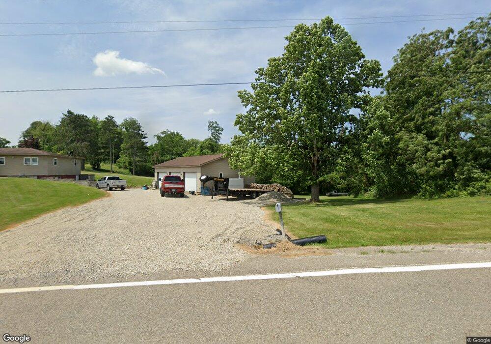
50877 State Route 26 Beallsville, OH 43716
Estimated Value: $111,000 - $276,000
--
Bed
1
Bath
1,240
Sq Ft
$150/Sq Ft
Est. Value
About This Home
This home is located at 50877 State Route 26, Beallsville, OH 43716 and is currently estimated at $185,910, approximately $149 per square foot. 50877 State Route 26 is a home located in Monroe County with nearby schools including Beallsville Elementary School, River Elementary School, and Beallsville High School.
Ownership History
Date
Name
Owned For
Owner Type
Purchase Details
Closed on
Sep 8, 2025
Sold by
Stewart Tyler
Bought by
Wilson Christopher A and Wilson Carrie J
Current Estimated Value
Purchase Details
Closed on
May 8, 2020
Sold by
Wilson Christopher A and Wilson Carrie J
Bought by
Stewart Tyler
Home Financials for this Owner
Home Financials are based on the most recent Mortgage that was taken out on this home.
Original Mortgage
$144,688
Interest Rate
3.3%
Mortgage Type
FHA
Purchase Details
Closed on
Sep 25, 2002
Bought by
Wilson Christopher A
Create a Home Valuation Report for This Property
The Home Valuation Report is an in-depth analysis detailing your home's value as well as a comparison with similar homes in the area
Home Values in the Area
Average Home Value in this Area
Purchase History
| Date | Buyer | Sale Price | Title Company |
|---|---|---|---|
| Wilson Christopher A | $1,646 | None Listed On Document | |
| Stewart Tyler | $158,000 | None Available | |
| Wilson Christopher A | $50,000 | -- |
Source: Public Records
Mortgage History
| Date | Status | Borrower | Loan Amount |
|---|---|---|---|
| Previous Owner | Stewart Tyler | $144,688 |
Source: Public Records
Tax History Compared to Growth
Tax History
| Year | Tax Paid | Tax Assessment Tax Assessment Total Assessment is a certain percentage of the fair market value that is determined by local assessors to be the total taxable value of land and additions on the property. | Land | Improvement |
|---|---|---|---|---|
| 2024 | $1,146 | $40,460 | $6,160 | $34,300 |
| 2023 | $1,146 | $40,460 | $6,160 | $34,300 |
| 2022 | $1,182 | $40,460 | $6,160 | $34,300 |
| 2021 | $962 | $32,620 | $5,040 | $27,580 |
| 2020 | $964 | $32,660 | $5,080 | $27,580 |
| 2019 | $963 | $32,660 | $5,080 | $27,580 |
| 2018 | $931 | $30,500 | $4,230 | $26,270 |
| 2017 | $938 | $30,500 | $4,230 | $26,270 |
| 2016 | $952 | $30,500 | $4,230 | $26,270 |
| 2015 | $798 | $24,130 | $3,480 | $20,650 |
| 2014 | $798 | $24,130 | $3,480 | $20,650 |
| 2013 | $835 | $23,410 | $3,380 | $20,030 |
Source: Public Records
Map
Nearby Homes
- 50911 State Route 26
- 51650 State Route 26
- 52388 East Dr
- 52777 Main St
- 53525 Somerton Hwy
- 314 Devon Rd
- 129 Maple Ave
- 123 Andover Rd
- 147 Andover Rd
- 208 Center St
- 220 Oaklawn Ave
- 218 Oaklawn Ave
- 212 Oaklawn Ave
- 108 Oaklawn Ave
- 315 Eastern Ave
- 108 S Paul St
- 108.5 S Paul Aly
- 210 E Church St
- 0 Barber Ridge Rd
- 303 High St
- 40425 Twp Rd 80
- 50811 State Route 26
- 40425 Township Road 80
- 40425 Township Road 80 Unit 80
- 50737 Township Road 2105
- 50737 Twp Rd 2105
- 50945 State Route 26
- 50965 State Route 26
- 50701 Township Road 2105
- 50715 State Route 26
- 50695 State Route 26
- 50691 State Route 26
- 50683 State Route 26
- 51021 State Route 26
- 50679 State Route 26
- 51285 State Route 26
- 50712 State Route 26
- 50667 State Route 26
- 51111 State Route 26
- 50629 State Route 26