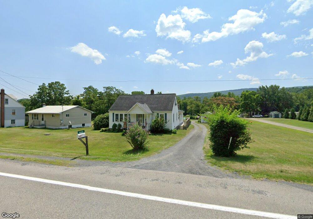
5089 N Fork Hwy Cabins, WV 26855
Estimated Value: $155,364 - $320,000
4
Beds
3
Baths
1,720
Sq Ft
$142/Sq Ft
Est. Value
About This Home
This home is located at 5089 N Fork Hwy, Cabins, WV 26855 and is currently estimated at $244,841, approximately $142 per square foot. 5089 N Fork Hwy is a home with nearby schools including Petersburg Elementary School, Petersburg High School, and North Fork Christian School.
Ownership History
Date
Name
Owned For
Owner Type
Purchase Details
Closed on
Aug 9, 2022
Sold by
D & L Coal Company Inc
Bought by
Jones Kermit F and Jones Mary Jane
Current Estimated Value
Home Financials for this Owner
Home Financials are based on the most recent Mortgage that was taken out on this home.
Original Mortgage
$138,000
Outstanding Balance
$127,497
Interest Rate
2.8%
Mortgage Type
Purchase Money Mortgage
Estimated Equity
$117,344
Create a Home Valuation Report for This Property
The Home Valuation Report is an in-depth analysis detailing your home's value as well as a comparison with similar homes in the area
Purchase History
| Date | Buyer | Sale Price | Title Company |
|---|---|---|---|
| Jones Kermit F | $4,160 | None Listed On Document | |
| Jones Kermit F | $4,160 | None Listed On Document |
Source: Public Records
Mortgage History
| Date | Status | Borrower | Loan Amount |
|---|---|---|---|
| Open | Jones Kermit F | $138,000 | |
| Closed | Jones Kermit F | $138,000 |
Source: Public Records
Tax History
| Year | Tax Paid | Tax Assessment Tax Assessment Total Assessment is a certain percentage of the fair market value that is determined by local assessors to be the total taxable value of land and additions on the property. | Land | Improvement |
|---|---|---|---|---|
| 2025 | $250 | $52,140 | $5,520 | $46,620 |
| 2024 | $191 | $43,740 | $7,260 | $36,480 |
| 2023 | $257 | $52,080 | $5,520 | $46,560 |
| 2022 | $238 | $49,680 | $5,520 | $44,160 |
| 2021 | $231 | $48,780 | $5,520 | $43,260 |
| 2020 | $233 | $49,020 | $6,660 | $42,360 |
| 2019 | $199 | $49,260 | $6,660 | $42,600 |
| 2018 | $203 | $49,860 | $6,660 | $43,200 |
| 2017 | $204 | $50,100 | $6,660 | $43,440 |
| 2016 | $206 | $50,280 | $6,660 | $43,620 |
| 2015 | $207 | $50,520 | $6,660 | $43,860 |
| 2014 | $209 | $50,760 | $6,660 | $44,100 |
Source: Public Records
Map
Nearby Homes
- 775 Corner Rd
- 1079 Little Mountain
- 55 Fairfax Corner Rd
- 7 Circle Dr
- 401 Nighthawk Dr
- 156 Squirrel Den Rd
- 10 Earhart Ct
- 13 Yeager Ct
- 133 Upper Hawk Ridge Rd
- 1924 Winding Ln
- 201 Woodlawn Dr
- 261 Hicks Dr
- 73 Woodland Dr
- 32 Hawk Ridge Rd
- 107 Early Ave
- 421 Keyser Ave
- 72 Beagle Boot Ln
- 103 Trenton St
- 2621 Franklin Pike
- 22 Mountain View St
- 5077 N Fork Hwy
- 5055 N Fork Hwy
- 80 Stratus Dr
- 1313 Corner Rd
- 11 Stratus Dr
- 8 Sky Valley Dr
- 46 Sky Valley Dr
- 162 Stratus Dr
- 72 Sky Valley Dr
- 1115 Corners Rd
- 185 Stratus Dr
- 1259 Corner Rd
- 1 Corners Rd
- 1401 Corner Rd
- 1108 Dolly Town Rd
- 4691 N Fork Hwy
- 146 Autumn Ln
- 10411 Smith Mountain Rd
- 2235 Dolly Town Rd
- 32551 Mountaineer Dr
Your Personal Tour Guide
Ask me questions while you tour the home.