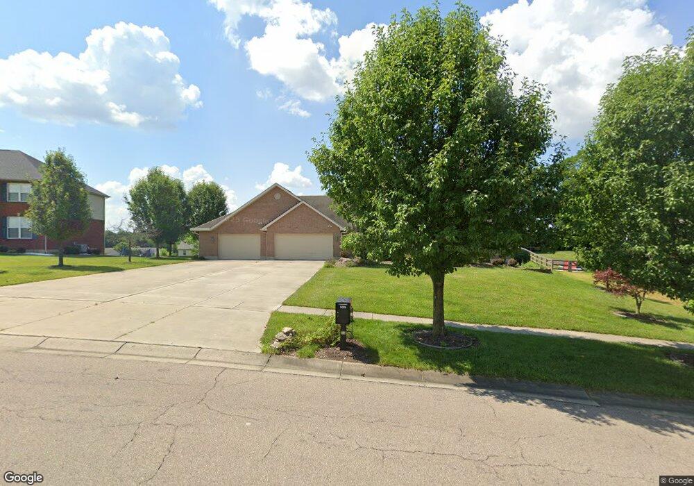
5089 Samantha Ct Liberty Township, OH 45011
Estimated Value: $523,715 - $559,000
4
Beds
3
Baths
2,930
Sq Ft
$187/Sq Ft
Est. Value
About This Home
This home is located at 5089 Samantha Ct, Liberty Township, OH 45011 and is currently estimated at $547,679, approximately $186 per square foot. 5089 Samantha Ct is a home located in Butler County with nearby schools including Heritage Early Childhood School, Cherokee Elementary School, and Lakota Plains Junior School.
Ownership History
Date
Name
Owned For
Owner Type
Purchase Details
Closed on
Jan 19, 2005
Sold by
Schmidt Builders Inc
Bought by
Dennis James Michael
Current Estimated Value
Home Financials for this Owner
Home Financials are based on the most recent Mortgage that was taken out on this home.
Original Mortgage
$150,000
Interest Rate
5.7%
Mortgage Type
Purchase Money Mortgage
Purchase Details
Closed on
Sep 1, 2004
Sold by
Hut-1 Llc
Bought by
Schmidt Builders Inc
Create a Home Valuation Report for This Property
The Home Valuation Report is an in-depth analysis detailing your home's value as well as a comparison with similar homes in the area
Home Values in the Area
Average Home Value in this Area
Purchase History
| Date | Buyer | Sale Price | Title Company |
|---|---|---|---|
| Dennis James Michael | $329,901 | -- | |
| Schmidt Builders Inc | $55,000 | -- |
Source: Public Records
Mortgage History
| Date | Status | Borrower | Loan Amount |
|---|---|---|---|
| Previous Owner | Dennis James Michael | $150,000 |
Source: Public Records
Tax History Compared to Growth
Tax History
| Year | Tax Paid | Tax Assessment Tax Assessment Total Assessment is a certain percentage of the fair market value that is determined by local assessors to be the total taxable value of land and additions on the property. | Land | Improvement |
|---|---|---|---|---|
| 2024 | $5,675 | $151,770 | $23,630 | $128,140 |
| 2023 | $5,557 | $151,770 | $23,630 | $128,140 |
| 2022 | $4,903 | $109,600 | $23,630 | $85,970 |
| 2021 | $4,996 | $109,600 | $23,630 | $85,970 |
| 2020 | $5,121 | $109,600 | $23,630 | $85,970 |
| 2019 | $9,463 | $98,240 | $21,290 | $76,950 |
| 2018 | $5,081 | $98,240 | $21,290 | $76,950 |
| 2017 | $5,098 | $98,240 | $21,290 | $76,950 |
| 2016 | $4,610 | $88,200 | $21,290 | $66,910 |
| 2015 | $4,569 | $88,200 | $21,290 | $66,910 |
| 2014 | $4,784 | $88,200 | $21,290 | $66,910 |
| 2013 | $4,784 | $88,200 | $21,290 | $66,910 |
Source: Public Records
Map
Nearby Homes
- 5168 Grandin Ridge Dr
- 5108 Grandin Ridge Dr
- 7077 Parliament Place
- 5146 Mountview Ct
- 6993 Clawson Ridge Ct
- 5053 Maiden Way
- 5038 Maiden Way
- 5011 Arena Ct
- 4871 Imperial Dr
- 5003 Arena Ct
- 4520 Logsdons Meadow Dr
- 4991 Arena Ct
- 4893 Arena Ct
- 0 Walnut Creek Dr Unit 1850153
- 5241 Hamilton Mason Rd
- 7229 W Hartford Ct
- 7144 Lookout Ct
- 6940 Crown Pointe Dr
- 5079 Samantha Ct
- 5099 Samantha Ct
- 5118 Grandin Ridge Dr
- 5069 Samantha Ct
- 5098 Grandin Ridge Dr
- 5109 Samantha Ct
- 5128 Grandin Ridge Dr
- 6713 Alana Place
- 5088 Grandin Ridge Dr
- 5138 Grandin Ridge Dr
- 5059 Samantha Ct
- 5119 Samantha Ct
- 6759 Northampton Ln Unit 12
- 6759 Northampton Ln
- 6703 Alana Place
- 5148 Grandin Ridge Dr
- 5078 Grandin Ridge Dr
- 5060 Samantha Ct
- 6760 Cassinelli Way
- 5129 Samantha Ct