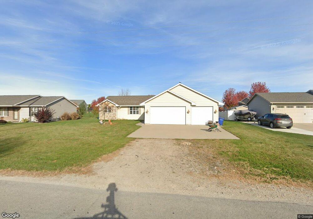
509 Block Rd Combined Locks, WI 54113
Estimated Value: $331,323 - $398,000
3
Beds
2
Baths
1,242
Sq Ft
$295/Sq Ft
Est. Value
About This Home
This home is located at 509 Block Rd, Combined Locks, WI 54113 and is currently estimated at $365,831, approximately $294 per square foot. 509 Block Rd is a home located in Outagamie County with nearby schools including River View School, Kaukauna High School, and New Directions Learning Community.
Ownership History
Date
Name
Owned For
Owner Type
Purchase Details
Closed on
May 28, 2024
Sold by
Bauman Andrew D
Bought by
Bauman Katrina M
Current Estimated Value
Purchase Details
Closed on
Jul 17, 2008
Sold by
Coonen Builders Inc
Bought by
Bauman Andrew and Bauman Katrina
Purchase Details
Closed on
Jan 23, 2008
Sold by
Coonen Development Corporation
Bought by
Coonen Builders Inc
Create a Home Valuation Report for This Property
The Home Valuation Report is an in-depth analysis detailing your home's value as well as a comparison with similar homes in the area
Home Values in the Area
Average Home Value in this Area
Purchase History
| Date | Buyer | Sale Price | Title Company |
|---|---|---|---|
| Bauman Katrina M | -- | None Listed On Document | |
| Bauman Andrew | $154,000 | -- | |
| Coonen Builders Inc | $19,500 | -- |
Source: Public Records
Tax History
| Year | Tax Paid | Tax Assessment Tax Assessment Total Assessment is a certain percentage of the fair market value that is determined by local assessors to be the total taxable value of land and additions on the property. | Land | Improvement |
|---|---|---|---|---|
| 2024 | $3,685 | $271,500 | $44,400 | $227,100 |
| 2023 | $3,150 | $193,900 | $36,100 | $157,800 |
| 2022 | $3,039 | $193,900 | $36,100 | $157,800 |
| 2021 | $3,023 | $193,900 | $36,100 | $157,800 |
| 2020 | $3,064 | $158,600 | $33,000 | $125,600 |
| 2019 | $3,006 | $158,600 | $33,000 | $125,600 |
| 2018 | $2,977 | $158,600 | $33,000 | $125,600 |
| 2017 | $2,989 | $158,600 | $33,000 | $125,600 |
| 2016 | $2,849 | $143,800 | $33,000 | $110,800 |
| 2015 | $2,927 | $143,800 | $33,000 | $110,800 |
| 2014 | $2,868 | $143,800 | $33,000 | $110,800 |
| 2013 | $3,001 | $143,800 | $33,000 | $110,800 |
Source: Public Records
Map
Nearby Homes
- 592 Cornrow Ln
- W2247 Block Rd
- W2286 Valleywood Ln
- 103 Green Way Dr
- 708 Saunders Rd Unit 1
- 623 Sweet Meadow Ln
- 400 Frances St
- 708 Westfield St
- 435 Roger St
- N371 Fieldside Ln
- 101 Sunny Meadows Dr
- W2512 Buchanan Rd
- N9535 State Park Rd
- 2723 Main Ave
- 107 Lamine Ln
- 1712 Thelen Ave
- 7 Ash Grove Place
- W5479 Hidden Trail Ln
- 445 Riverview Ridge Place
- W2689 Buchanan Rd
Your Personal Tour Guide
Ask me questions while you tour the home.