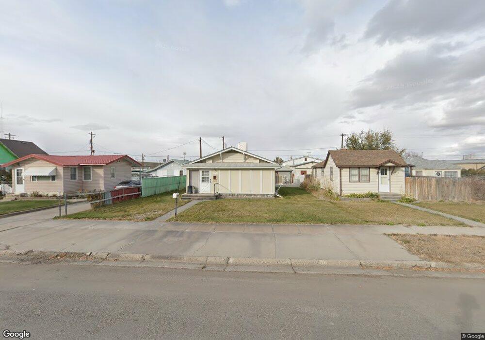
509 Culbertson Ave Worland, WY 82401
Estimated Value: $130,000 - $143,095
2
Beds
1
Bath
893
Sq Ft
$154/Sq Ft
Est. Value
About This Home
This home is located at 509 Culbertson Ave, Worland, WY 82401 and is currently estimated at $137,698, approximately $154 per square foot. 509 Culbertson Ave is a home located in Washakie County with nearby schools including West Side Elementary School, East Side Elementary School, and South Side Elementary School.
Ownership History
Date
Name
Owned For
Owner Type
Purchase Details
Closed on
Aug 8, 2013
Sold by
Surat Timothy J
Bought by
Richardson Gordon L and Richardson Nancy L
Current Estimated Value
Purchase Details
Closed on
May 30, 2008
Sold by
Ccrm Llc
Bought by
Surat Timothy J
Home Financials for this Owner
Home Financials are based on the most recent Mortgage that was taken out on this home.
Original Mortgage
$61,643
Interest Rate
5.89%
Mortgage Type
New Conventional
Create a Home Valuation Report for This Property
The Home Valuation Report is an in-depth analysis detailing your home's value as well as a comparison with similar homes in the area
Home Values in the Area
Average Home Value in this Area
Purchase History
| Date | Buyer | Sale Price | Title Company |
|---|---|---|---|
| Richardson Gordon L | -- | None Available | |
| Surat Timothy J | -- | None Available |
Source: Public Records
Mortgage History
| Date | Status | Borrower | Loan Amount |
|---|---|---|---|
| Previous Owner | Surat Timothy J | $61,643 |
Source: Public Records
Tax History Compared to Growth
Tax History
| Year | Tax Paid | Tax Assessment Tax Assessment Total Assessment is a certain percentage of the fair market value that is determined by local assessors to be the total taxable value of land and additions on the property. | Land | Improvement |
|---|---|---|---|---|
| 2025 | $614 | $8,062 | $2,025 | $6,037 |
| 2024 | $791 | $10,388 | $2,648 | $7,740 |
| 2023 | $789 | $10,355 | $1,663 | $8,692 |
| 2022 | $624 | $8,188 | $1,663 | $6,525 |
| 2021 | $553 | $7,258 | $1,330 | $5,928 |
| 2020 | $524 | $6,880 | $2,185 | $4,695 |
| 2019 | $514 | $6,754 | $2,185 | $4,569 |
| 2018 | $499 | $6,556 | $1,710 | $4,846 |
| 2017 | $503 | $6,600 | $1,995 | $4,605 |
| 2016 | $481 | $6,313 | $1,805 | $4,508 |
| 2015 | -- | $6,112 | $1,805 | $4,307 |
| 2014 | -- | $6,247 | $1,995 | $4,252 |
Source: Public Records
Map
Nearby Homes
- 624 S 5th St
- 501 Obie Sue Ave
- 520 Obie Sue Ave
- 821 Obie Sue Ave
- 611 S 3rd St
- 317 Thomas Ave
- 728 S 3rd St
- 1015 Robertson Ave
- 1012 Pulliam Ave
- 615 Holly Ave
- 814 Conant Ave
- 1205 Coburn Ave
- 711 Washakie Ave
- 1300 Coburn Ave
- 1221 Pulliam Ave
- 1301 Pulliam Ave
- 2396 U S 20
- 2386 U S 20
- 2366 U S 20
- 739 S 13th St
- 513 Culbertson Ave
- 505 Culbertson Ave
- 519 Culbertson Ave
- 501 Culbertson Ave
- 521 Culbertson Ave
- 500 Culbertson Ave
- 201 S 5th St
- 508 Culbertson Ave
- 512 Culbertson Ave
- 504 Culbertson Ave
- 520 Culbertson Ave
- 601 Culbertson Ave
- 600 Culbertson Ave
- 605 Culbertson Ave
- 313 S 5th St
- 609 Culbertson Ave
- 513 Grace Ave
- 517 Grace Ave
- 503 Grace Ave
- 604 Culbertson Ave