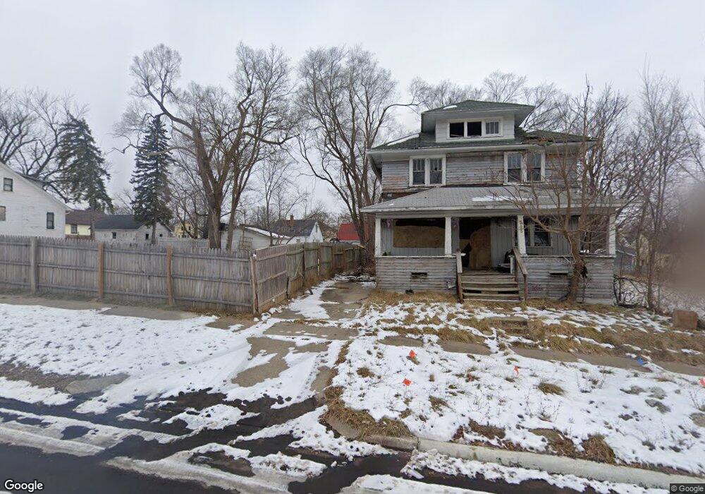
509 E Dewey St Flint, MI 48505
King Avenue Plus NeighborhoodEstimated Value: $10,593 - $71,000
2
Beds
1
Bath
815
Sq Ft
$50/Sq Ft
Est. Value
About This Home
This home is located at 509 E Dewey St, Flint, MI 48505 and is currently estimated at $40,531, approximately $49 per square foot. 509 E Dewey St is a home located in Genesee County with nearby schools including Brownell STEM Academy, Flint Cultural Center Academy, and Greater Heights Academy.
Ownership History
Date
Name
Owned For
Owner Type
Purchase Details
Closed on
Oct 30, 2017
Sold by
Genesee County Land Authority
Bought by
Luna White Rose
Current Estimated Value
Purchase Details
Closed on
Dec 20, 2012
Sold by
Cherry Deborah L
Bought by
Genesee County Land Bank
Purchase Details
Closed on
May 29, 2009
Sold by
Allen Roy and Allen Gwendolyn
Bought by
Leflore Elenora
Purchase Details
Closed on
Aug 17, 2000
Sold by
Partain Partain D and Partain Blanche L
Bought by
Allen Roy and Allen Gwendolyn R
Create a Home Valuation Report for This Property
The Home Valuation Report is an in-depth analysis detailing your home's value as well as a comparison with similar homes in the area
Home Values in the Area
Average Home Value in this Area
Purchase History
| Date | Buyer | Sale Price | Title Company |
|---|---|---|---|
| Luna White Rose | -- | None Available | |
| Genesee County Land Bank | -- | None Available | |
| Leflore Elenora | -- | None Available | |
| Allen Roy | $7,500 | -- |
Source: Public Records
Tax History
| Year | Tax Paid | Tax Assessment Tax Assessment Total Assessment is a certain percentage of the fair market value that is determined by local assessors to be the total taxable value of land and additions on the property. | Land | Improvement |
|---|---|---|---|---|
| 2025 | $111 | $1,200 | $0 | $0 |
| 2024 | $105 | $1,000 | $0 | $0 |
| 2023 | $113 | $1,000 | $0 | $0 |
| 2022 | -- | $900 | $0 | $0 |
| 2021 | $145 | $900 | $0 | $0 |
| 2020 | $138 | $800 | $0 | $0 |
| 2019 | $146 | $800 | $0 | $0 |
| 2018 | $112 | $800 | $0 | $0 |
| 2017 | $0 | $0 | $0 | $0 |
| 2016 | $0 | $0 | $0 | $0 |
| 2015 | -- | $0 | $0 | $0 |
| 2014 | -- | $0 | $0 | $0 |
| 2012 | -- | $3,600 | $0 | $0 |
Source: Public Records
Map
Nearby Homes
- 3810 Marvin St
- 630 E Dartmouth St
- 115 E Genesee St
- 218 E Jackson Ave
- 132 W Jamieson St
- 902 Addison St
- 906 Addison St
- 200 W Mcclellan St
- 217 W Dewey St
- 4028 North St
- 320 W Mcclellan St
- 409 W Genesee St
- 2217 Francis Ave
- 432 W Dartmouth St
- 310 White St
- 3205 Dupont St
- 124 W Flint Park Blvd
- 3422 Race St
- 716 W Genesee St
- 506 Green St
Your Personal Tour Guide
Ask me questions while you tour the home.