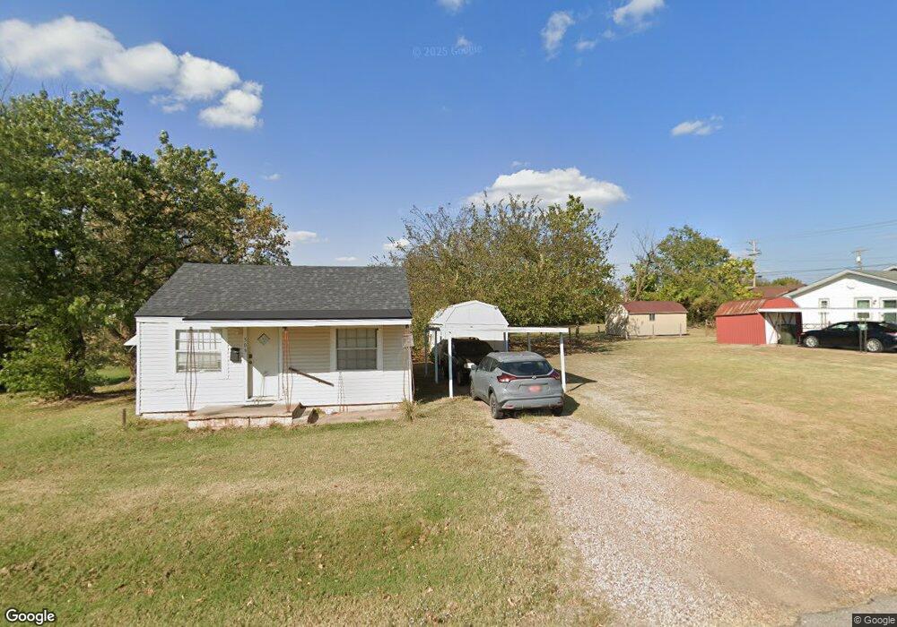
509 E Maple St Tecumseh, OK 74873
Estimated Value: $79,000 - $94,000
2
Beds
1
Bath
660
Sq Ft
$133/Sq Ft
Est. Value
About This Home
This home is located at 509 E Maple St, Tecumseh, OK 74873 and is currently estimated at $87,960, approximately $133 per square foot. 509 E Maple St is a home located in Pottawatomie County with nearby schools including Barnard Elementary School, Cross Timbers Elementary School, and Tecumseh Middle School.
Ownership History
Date
Name
Owned For
Owner Type
Purchase Details
Closed on
Nov 24, 2021
Sold by
Revocable Tr Agmt Of James V Mccalip & F
Bought by
Vaughn Michelle L and Vaughn Merinda L
Current Estimated Value
Home Financials for this Owner
Home Financials are based on the most recent Mortgage that was taken out on this home.
Original Mortgage
$74,623
Outstanding Balance
$68,096
Interest Rate
3.14%
Mortgage Type
FHA
Estimated Equity
$19,864
Purchase Details
Closed on
Oct 15, 2001
Sold by
O'Neal Trelma
Bought by
Mccalip James and Mccalip Faye
Create a Home Valuation Report for This Property
The Home Valuation Report is an in-depth analysis detailing your home's value as well as a comparison with similar homes in the area
Home Values in the Area
Average Home Value in this Area
Purchase History
| Date | Buyer | Sale Price | Title Company |
|---|---|---|---|
| Vaughn Michelle L | $76,000 | Lincoln Title | |
| Mccalip James | $5,000 | -- |
Source: Public Records
Mortgage History
| Date | Status | Borrower | Loan Amount |
|---|---|---|---|
| Open | Vaughn Michelle L | $74,623 |
Source: Public Records
Tax History
| Year | Tax Paid | Tax Assessment Tax Assessment Total Assessment is a certain percentage of the fair market value that is determined by local assessors to be the total taxable value of land and additions on the property. | Land | Improvement |
|---|---|---|---|---|
| 2025 | $951 | $9,822 | $1,126 | $8,696 |
| 2024 | $976 | $9,120 | $600 | $8,520 |
| 2023 | $976 | $9,120 | $600 | $8,520 |
| 2022 | $936 | $9,120 | $600 | $8,520 |
| 2021 | $145 | $2,854 | $600 | $2,254 |
| 2020 | $137 | $1,329 | $279 | $1,050 |
| 2019 | $132 | $1,266 | $280 | $986 |
| 2018 | $126 | $1,206 | $267 | $939 |
| 2017 | $121 | $1,148 | $255 | $893 |
| 2016 | $104 | $1,094 | $243 | $851 |
| 2015 | $95 | $1,042 | $242 | $800 |
| 2014 | $95 | $992 | $231 | $761 |
Source: Public Records
Map
Nearby Homes
- 421 E Maple St
- 0 Highway 9
- 46191 Highway 9
- 617 E Washington St
- 416 E Washington St
- 0 N Rangeline St
- 909 E Park St
- 209 E Main St
- 314 E Locust St
- 303 Liza Ln
- 1011 N Rangeline St
- 208 E Tennyson St
- 606 E Elizabeth St
- 508 Cottonwood Ln
- 513 W Main St
- 721 W Main St
- 705 W Locust St
- 712 W Jefferson St
- 0 Foggy Bottom Rd
- 314 N 13th St
- 505 E Maple St
- 503 E Maple St
- 306 N Rangeline St
- 302 N Rangeline St
- 506 E Maple St
- 510 E Maple St
- 502 E Maple St
- 311 N Rangeline St
- 223 N Rangeline St
- 222 N 1st St
- 44122 Highway 9
- 0000 Highway 9
- 205 N 1st St
- 417 E Maple St
- 417 N 1st St
- 204 S Rangeline St
- 418 E Maple St
- 303 N Rangeline St
- 501 E Walnut St
- 517 E Park St
Your Personal Tour Guide
Ask me questions while you tour the home.