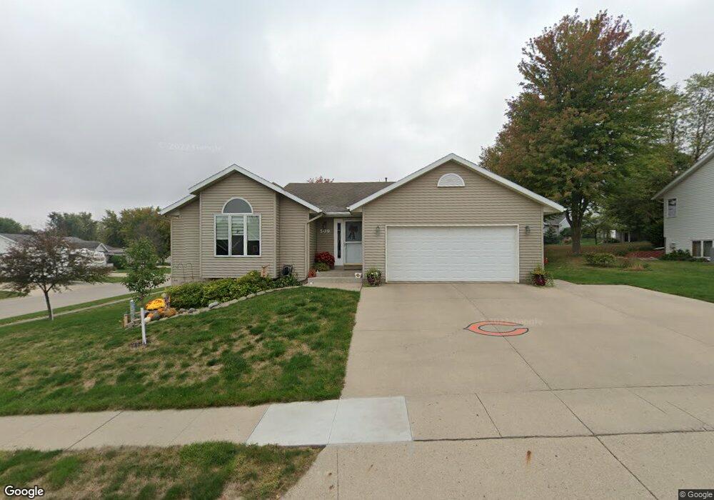
509 Ely Dr Carroll, IA 51401
Estimated Value: $324,453 - $346,000
4
Beds
3
Baths
1,486
Sq Ft
$225/Sq Ft
Est. Value
About This Home
This home is located at 509 Ely Dr, Carroll, IA 51401 and is currently estimated at $334,863, approximately $225 per square foot. 509 Ely Dr is a home located in Carroll County with nearby schools including Fairview Elementary School, Adams Elementary School, and Carroll Middle School.
Ownership History
Date
Name
Owned For
Owner Type
Purchase Details
Closed on
Dec 16, 2010
Sold by
Loew Christopher J and Loew Amy D
Bought by
Christensen Larry L and Christensen Trisha A
Current Estimated Value
Home Financials for this Owner
Home Financials are based on the most recent Mortgage that was taken out on this home.
Original Mortgage
$161,600
Outstanding Balance
$106,766
Interest Rate
4.22%
Mortgage Type
New Conventional
Estimated Equity
$228,097
Purchase Details
Closed on
Jan 8, 2007
Sold by
Engelken Loras J
Bought by
Loew Chris J and Loew Amy D
Home Financials for this Owner
Home Financials are based on the most recent Mortgage that was taken out on this home.
Original Mortgage
$149,600
Interest Rate
6.87%
Mortgage Type
Adjustable Rate Mortgage/ARM
Create a Home Valuation Report for This Property
The Home Valuation Report is an in-depth analysis detailing your home's value as well as a comparison with similar homes in the area
Home Values in the Area
Average Home Value in this Area
Purchase History
| Date | Buyer | Sale Price | Title Company |
|---|---|---|---|
| Christensen Larry L | $202,000 | None Available | |
| Loew Chris J | $187,000 | None Available |
Source: Public Records
Mortgage History
| Date | Status | Borrower | Loan Amount |
|---|---|---|---|
| Open | Christensen Larry L | $161,600 | |
| Previous Owner | Loew Chris J | $149,600 |
Source: Public Records
Tax History
| Year | Tax Paid | Tax Assessment Tax Assessment Total Assessment is a certain percentage of the fair market value that is determined by local assessors to be the total taxable value of land and additions on the property. | Land | Improvement |
|---|---|---|---|---|
| 2025 | $3,632 | $320,610 | $46,730 | $273,880 |
| 2024 | $36 | $287,120 | $46,730 | $240,390 |
| 2023 | $3,605 | $287,120 | $46,730 | $240,390 |
| 2022 | $3,420 | $244,910 | $44,500 | $200,410 |
| 2021 | $3,420 | $244,910 | $44,500 | $200,410 |
| 2020 | $3,495 | $244,910 | $44,500 | $200,410 |
| 2019 | $3,538 | $244,910 | $44,500 | $200,410 |
| 2018 | $3,328 | $244,910 | $44,500 | $200,410 |
| 2017 | $3,320 | $241,050 | $47,615 | $193,435 |
| 2016 | $3,100 | $225,280 | $0 | $0 |
| 2015 | $3,100 | $205,250 | $0 | $0 |
| 2014 | $2,780 | $205,250 | $0 | $0 |
Source: Public Records
Map
Nearby Homes
- 317 Arthur Neu Dr
- 629 Meadow Ln
- 415 W Pleasant Ridge Rd
- 222 W 2nd St
- 409 E Valley Dr
- 326 N West St
- 332 N Crawford St
- 479 Deer Creek Ln
- 19383 U S 30
- 0 Deer Creek Ln Unit 6302348
- Deer Creek Ln Lot 36
- 451 Deer Creek Ln
- 827 N Main St
- 804 N Clark St
- 827 N Clark St
- 0 E 10th St Unit 5423085
- 0 E 10th St Unit 6324630
- 110 E 10th St
- 1015 N Adams St
- 1102 N Main St
Your Personal Tour Guide
Ask me questions while you tour the home.