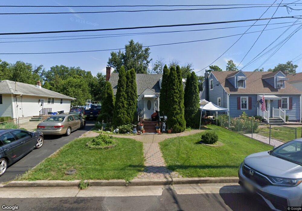
509 Helfin St Bound Brook, NJ 08805
Estimated Value: $460,000 - $557,000
--
Bed
--
Bath
1,506
Sq Ft
$341/Sq Ft
Est. Value
About This Home
This home is located at 509 Helfin St, Bound Brook, NJ 08805 and is currently estimated at $513,240, approximately $340 per square foot. 509 Helfin St is a home located in Somerset County with nearby schools including LaMonte Annex Elementary School, Lafayette Elementary School, and Bound Brook High School.
Ownership History
Date
Name
Owned For
Owner Type
Purchase Details
Closed on
Feb 16, 2000
Sold by
Miller Colleen
Bought by
Leal Oscar and Jimenez Gabriella
Current Estimated Value
Home Financials for this Owner
Home Financials are based on the most recent Mortgage that was taken out on this home.
Original Mortgage
$172,800
Outstanding Balance
$57,081
Interest Rate
8.15%
Estimated Equity
$456,159
Purchase Details
Closed on
Jun 23, 1989
Sold by
Prytula Michael
Bought by
Melville Colleen T
Create a Home Valuation Report for This Property
The Home Valuation Report is an in-depth analysis detailing your home's value as well as a comparison with similar homes in the area
Home Values in the Area
Average Home Value in this Area
Purchase History
| Date | Buyer | Sale Price | Title Company |
|---|---|---|---|
| Leal Oscar | $169,000 | -- | |
| Melville Colleen T | $135,000 | -- |
Source: Public Records
Mortgage History
| Date | Status | Borrower | Loan Amount |
|---|---|---|---|
| Open | Leal Oscar | $172,800 |
Source: Public Records
Tax History Compared to Growth
Tax History
| Year | Tax Paid | Tax Assessment Tax Assessment Total Assessment is a certain percentage of the fair market value that is determined by local assessors to be the total taxable value of land and additions on the property. | Land | Improvement |
|---|---|---|---|---|
| 2025 | $9,566 | $448,200 | $207,000 | $241,200 |
| 2024 | $9,566 | $421,600 | $187,000 | $234,600 |
| 2023 | $9,576 | $406,100 | $177,000 | $229,100 |
| 2022 | $9,454 | $380,000 | $162,000 | $218,000 |
| 2021 | $8,818 | $298,900 | $122,000 | $176,900 |
| 2020 | $8,483 | $274,800 | $112,000 | $162,800 |
| 2019 | $8,818 | $272,400 | $107,000 | $165,400 |
| 2018 | $8,268 | $248,000 | $102,000 | $146,000 |
| 2017 | $8,381 | $245,700 | $102,000 | $143,700 |
| 2016 | $8,042 | $237,500 | $77,000 | $160,500 |
| 2015 | $9,132 | $275,800 | $92,000 | $183,800 |
| 2014 | $9,331 | $272,200 | $92,000 | $180,200 |
Source: Public Records
Map
Nearby Homes
- 617 Vosseller Ave
- 606 Vosseller Ave
- 601 Thompson Ave
- 143 Vosseller Ave
- 641 Crescent Dr
- 722 Lawrence Rd
- 301 Stratford Place
- 307 W Union Ave
- 504 Stratford Place
- 1740 Middlebrook Rd
- 510 Dalay Place
- 563 Winsor St
- 520 Winsor St
- 512 W 2nd St
- 130 W High St Unit 132
- 102 W Franklin St
- 745 Schoolhouse Ln
- 126 W High St
- 650 Central Ave
- 180 Farm Ln