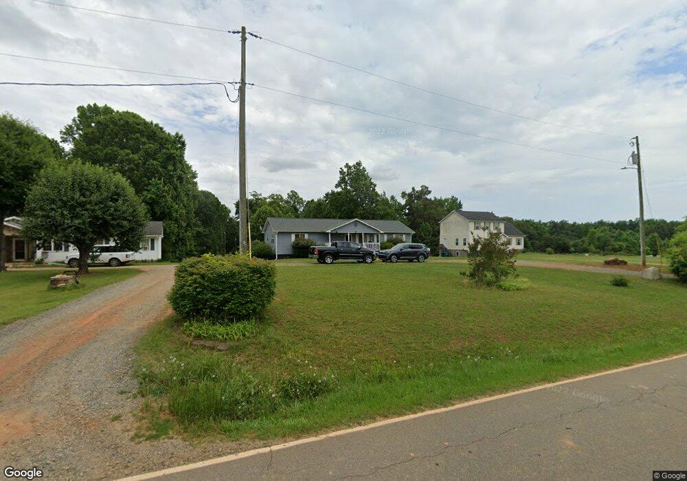
509 High Rock Rd Gibsonville, NC 27249
Estimated Value: $250,000 - $343,000
--
Bed
--
Bath
1,560
Sq Ft
$193/Sq Ft
Est. Value
About This Home
This home is located at 509 High Rock Rd, Gibsonville, NC 27249 and is currently estimated at $300,888, approximately $192 per square foot. 509 High Rock Rd is a home located in Rockingham County with nearby schools including Williamsburg Elementary School, Reidsville High School, and Reidsville Middle School.
Ownership History
Date
Name
Owned For
Owner Type
Purchase Details
Closed on
Jul 19, 2021
Sold by
Harrison Charles L and Moore Vera
Bought by
Smith Nannette
Current Estimated Value
Purchase Details
Closed on
May 15, 2001
Sold by
Jones Geneva W
Bought by
Harrison Charles L and Harrison Vera
Home Financials for this Owner
Home Financials are based on the most recent Mortgage that was taken out on this home.
Original Mortgage
$155,700
Interest Rate
2.9%
Mortgage Type
VA
Create a Home Valuation Report for This Property
The Home Valuation Report is an in-depth analysis detailing your home's value as well as a comparison with similar homes in the area
Home Values in the Area
Average Home Value in this Area
Purchase History
| Date | Buyer | Sale Price | Title Company |
|---|---|---|---|
| Smith Nannette | $27,000 | None Listed On Document | |
| Harrison Charles L | -- | None Available |
Source: Public Records
Mortgage History
| Date | Status | Borrower | Loan Amount |
|---|---|---|---|
| Previous Owner | Harrison Charles L | $155,700 |
Source: Public Records
Tax History Compared to Growth
Tax History
| Year | Tax Paid | Tax Assessment Tax Assessment Total Assessment is a certain percentage of the fair market value that is determined by local assessors to be the total taxable value of land and additions on the property. | Land | Improvement |
|---|---|---|---|---|
| 2025 | $1,491 | $264,203 | $41,247 | $222,956 |
| 2024 | $1,452 | $264,203 | $41,247 | $222,956 |
| 2023 | $1,452 | $142,175 | $21,483 | $120,692 |
| 2022 | $782 | $142,175 | $21,483 | $120,692 |
| 2021 | $1,145 | $142,175 | $21,483 | $120,692 |
| 2020 | $782 | $142,175 | $21,483 | $120,692 |
| 2019 | $782 | $142,175 | $21,483 | $120,692 |
| 2018 | $787 | $142,660 | $29,334 | $113,326 |
| 2017 | $787 | $142,660 | $29,334 | $113,326 |
| 2015 | $1,161 | $142,660 | $29,334 | $113,326 |
| 2014 | -- | $142,660 | $29,334 | $113,326 |
Source: Public Records
Map
Nearby Homes
- 319 MacY Mae Way
- 251 MacY Mae Way
- 552 Nc Highway 87
- 341 Somers Loop
- 276 Brann Rd
- 475 Parkdale Rd
- 0000 Neal Rd
- 000 Neal Rd
- 000 Sunset View Ct
- 14.45± Acres Off Pritchett Rd
- 10064 Cherry Grove Rd
- 0 Jones Lake Rd
- 336 Jones Lake Rd
- 2004 Camp Springs Rd
- 0 Candy Creek Rd
- 3349 Nc Highway 87
- 198 Antler Ct
- 247 Bobwhite Dr
- 5765 Chrismon Rd
- 5767 Chrismon Rd
- 501 High Rock Rd
- 525 High Rock Rd
- 489 High Rock Rd
- 557 High Rock Rd
- 459 High Rock Rd
- 505 High Rock Rd
- 462 High Rock Rd
- 430 High Rock Rd
- 416 High Rock Rd
- 395 High Rock Rd
- 635 High Rock Rd
- 1065 High Rock Rd
- 1175 Gilliam Rd
- 700 High Rock Rd
- 691 High Rock Rd
- 701 High Rock Rd
- 1208 Gilliam Rd
- 384 High Rock Rd
- 396 High Rock Rd
- 362 High Rock Rd