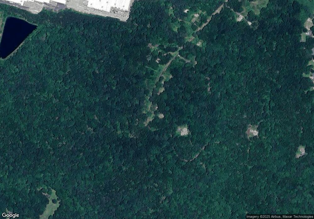
509 Key Dr Canton, GA 30115
Estimated Value: $439,061 - $476,000
1
Bed
2
Baths
768
Sq Ft
$596/Sq Ft
Est. Value
About This Home
This home is located at 509 Key Dr, Canton, GA 30115 and is currently estimated at $457,531, approximately $595 per square foot. 509 Key Dr is a home located in Cherokee County with nearby schools including Avery Elementary School, Creekland Middle School, and Creekview High School.
Ownership History
Date
Name
Owned For
Owner Type
Purchase Details
Closed on
Jun 27, 2019
Sold by
Ruby Key Llc
Bought by
Forrest Park Preserve Holdings Llc
Current Estimated Value
Purchase Details
Closed on
Jul 7, 2017
Sold by
Mcdaris Ernest
Bought by
Ruby Key Llc
Purchase Details
Closed on
Feb 18, 2013
Sold by
Herndon Kenny
Bought by
Mcdaris Ernest and Herndon Buyers Etal
Purchase Details
Closed on
Jan 31, 2005
Sold by
Key Vernie L and Key Ruby
Bought by
Mcdaris Ernest and Mcdaris Opal
Home Financials for this Owner
Home Financials are based on the most recent Mortgage that was taken out on this home.
Original Mortgage
$148,750
Interest Rate
5.66%
Mortgage Type
New Conventional
Purchase Details
Closed on
Mar 7, 2003
Sold by
Key Vernie L
Bought by
Bryant Mark T and Bryant Pamela
Create a Home Valuation Report for This Property
The Home Valuation Report is an in-depth analysis detailing your home's value as well as a comparison with similar homes in the area
Home Values in the Area
Average Home Value in this Area
Purchase History
| Date | Buyer | Sale Price | Title Company |
|---|---|---|---|
| Forrest Park Preserve Holdings Llc | $308,145 | -- | |
| Ruby Key Llc | $252,100 | -- | |
| Mcdaris Ernest | $10,000 | -- | |
| Mcdaris Ernest | $175,000 | -- | |
| Bryant Mark T | $47,400 | -- |
Source: Public Records
Mortgage History
| Date | Status | Borrower | Loan Amount |
|---|---|---|---|
| Previous Owner | Mcdaris Ernest | $148,750 |
Source: Public Records
Tax History Compared to Growth
Tax History
| Year | Tax Paid | Tax Assessment Tax Assessment Total Assessment is a certain percentage of the fair market value that is determined by local assessors to be the total taxable value of land and additions on the property. | Land | Improvement |
|---|---|---|---|---|
| 2024 | $3,629 | $139,656 | $123,200 | $16,456 |
| 2023 | $3,638 | $139,976 | $123,200 | $16,776 |
| 2022 | $3,235 | $123,096 | $110,880 | $12,216 |
| 2021 | $3,473 | $122,336 | $110,880 | $11,456 |
| 2020 | $3,483 | $122,576 | $110,880 | $11,696 |
| 2019 | $2,120 | $74,600 | $14,240 | $60,360 |
| 2018 | $2,045 | $71,600 | $14,240 | $57,360 |
| 2017 | $1,634 | $154,000 | $14,000 | $47,600 |
| 2016 | $1,634 | $140,300 | $11,920 | $44,200 |
| 2015 | $1,259 | $107,100 | $11,400 | $31,440 |
| 2014 | $1,178 | $100,000 | $9,320 | $30,680 |
Source: Public Records
Map
Nearby Homes
- 202 Brooke Place Unit 1
- 2099 Scott Rd
- 0 Governors Walk Dr Unit 7294252
- 3081 Cumming Hwy
- 3660 Cherokee Overlook Dr Unit 1
- 345 Evie Ln
- 618 Old Doss Dr
- Dunning Plan at Autumn Brook
- Rosehaven III Plan at Autumn Brook
- Dunning III Plan at Autumn Brook
- Rosehaven Plan at Autumn Brook
- Sherwood Plan at Autumn Brook
- Chatfield Plan at Autumn Brook
- 285 Hidden Branches Trail
- 221 Autumn Brook Dr
- 220 Spring Branch Dr
- 3320 Cumming Hwy
- 320 Evie Ln
- 3789 Cherokee Overlook Dr
- 601 Scott Rd
