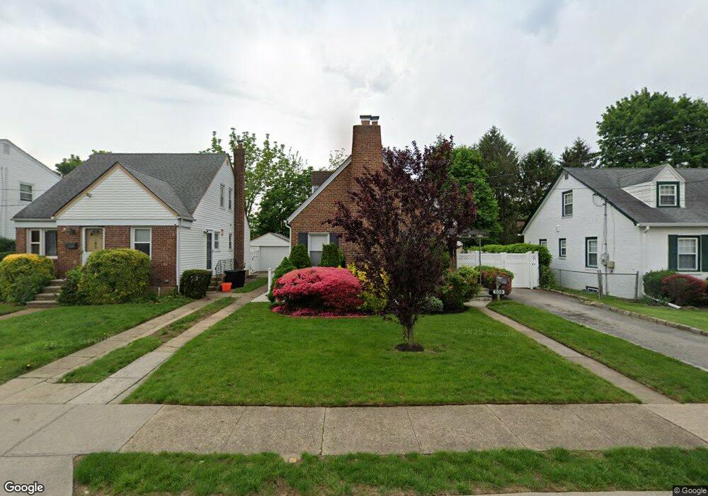
509 Langley Ave West Hempstead, NY 11552
Estimated Value: $723,000 - $800,310
4
Beds
3
Baths
1,547
Sq Ft
$492/Sq Ft
Est. Value
About This Home
This home is located at 509 Langley Ave, West Hempstead, NY 11552 and is currently estimated at $761,655, approximately $492 per square foot. 509 Langley Ave is a home located in Nassau County with nearby schools including Chestnut Street School, West Hempstead Secondary School, and Hebrew Academy of Nassau County (HANC).
Ownership History
Date
Name
Owned For
Owner Type
Purchase Details
Closed on
Sep 22, 2014
Sold by
Dolgos Michael and Dolgos Olga
Bought by
Ikpia Gabriel and Ikpia Sikavi
Current Estimated Value
Purchase Details
Closed on
Apr 6, 2012
Sold by
Monks D Agostino Jo An and Agostino Roberst S D
Bought by
Dolgos Michael and Dolgos Olga
Home Financials for this Owner
Home Financials are based on the most recent Mortgage that was taken out on this home.
Original Mortgage
$324,058
Interest Rate
4.25%
Mortgage Type
FHA
Purchase Details
Closed on
May 15, 2007
Sold by
Monks Jo-Ann
Create a Home Valuation Report for This Property
The Home Valuation Report is an in-depth analysis detailing your home's value as well as a comparison with similar homes in the area
Home Values in the Area
Average Home Value in this Area
Purchase History
| Date | Buyer | Sale Price | Title Company |
|---|---|---|---|
| Ikpia Gabriel | $361,788 | Chicago Title | |
| Dolgos Michael | $345,000 | -- | |
| -- | -- | -- |
Source: Public Records
Mortgage History
| Date | Status | Borrower | Loan Amount |
|---|---|---|---|
| Previous Owner | Dolgos Michael | $324,058 |
Source: Public Records
Tax History Compared to Growth
Tax History
| Year | Tax Paid | Tax Assessment Tax Assessment Total Assessment is a certain percentage of the fair market value that is determined by local assessors to be the total taxable value of land and additions on the property. | Land | Improvement |
|---|---|---|---|---|
| 2025 | $12,035 | $453 | $201 | $252 |
| 2024 | $3,963 | $447 | $198 | $249 |
| 2023 | $10,697 | $471 | $209 | $262 |
| 2022 | $10,697 | $471 | $209 | $262 |
| 2021 | $13,640 | $479 | $213 | $266 |
| 2020 | $10,788 | $615 | $454 | $161 |
| 2019 | $10,036 | $615 | $454 | $161 |
| 2018 | $9,340 | $615 | $0 | $0 |
| 2017 | $5,207 | $615 | $325 | $290 |
| 2016 | $8,278 | $860 | $454 | $406 |
| 2015 | -- | $860 | $454 | $406 |
| 2014 | -- | $860 | $454 | $406 |
| 2013 | $3,571 | $819 | $505 | $314 |
Source: Public Records
Map
Nearby Homes
- 537 Madison Ave
- 590 Langley Ave
- 613 Adams Ave
- 635 Hempstead Ave
- 467 Susan Ct
- 303 Nassau Blvd
- 218 Colony St
- 352 Hempstead Ave
- 19 Richard St
- 474 Roy St
- 350 Paul Place
- 686 Tanwood Dr
- 126 Oakland Ave
- 518 Nassau Blvd
- 106 Sycamore St
- 576 Western Park Dr
- 321 Oakford St
- 72 Spruce St
- 198 Guildford Ct
- 231 Dogwood Ave
- 505 Langley Ave
- 513 Langley Ave
- 501 Langley Ave
- 511 Hempstead Ave
- 529 Langley Ave
- 510 Langley Ave
- 506 Langley Ave
- 493 Langley Ave
- 514 Langley Ave
- 500 Langley Ave
- 522 Langley Ave
- 487 Hempstead Ave
- 487 Hempstead Ave
- 487 Hempstead Ave
- 490 Langley Ave
- 533 Langley Ave
- 487 Langley Ave
- 488 Langley Ave
- 526 Langley Ave
- 509 Adams Ave