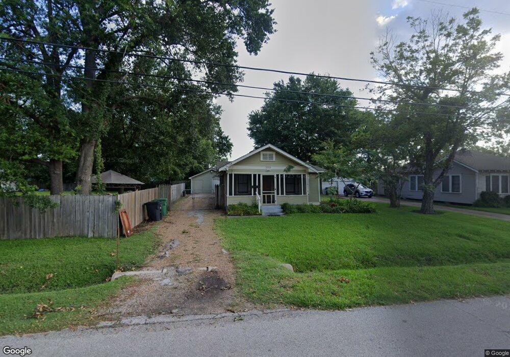
509 Lindale St Houston, TX 77022
Northside-Northline NeighborhoodEstimated Value: $182,404 - $296,000
3
Beds
2
Baths
1,208
Sq Ft
$203/Sq Ft
Est. Value
About This Home
This home is located at 509 Lindale St, Houston, TX 77022 and is currently estimated at $244,851, approximately $202 per square foot. 509 Lindale St is a home located in Harris County with nearby schools including Roosevelt Elementary School, Burbank Middle School, and Northside High School.
Ownership History
Date
Name
Owned For
Owner Type
Purchase Details
Closed on
Jun 21, 2018
Sold by
Garcia Socorro and Riojas Emilio R
Bought by
Fernandez Fernando and Fernandez Jessica M
Current Estimated Value
Purchase Details
Closed on
Feb 13, 2013
Sold by
Baranowski Mary and Baranowski Edwin
Bought by
Hernandez Hector and Hernandez Vivian Ann
Home Financials for this Owner
Home Financials are based on the most recent Mortgage that was taken out on this home.
Original Mortgage
$55,000
Interest Rate
3.38%
Mortgage Type
Purchase Money Mortgage
Purchase Details
Closed on
Dec 16, 1996
Sold by
Green Green Vernon Vernon and Green Duncan Frances Lee
Bought by
Garcia Socorro
Purchase Details
Closed on
Oct 12, 1995
Sold by
Martinez Joe P and Martinez Rachel R
Bought by
Green Vernon
Create a Home Valuation Report for This Property
The Home Valuation Report is an in-depth analysis detailing your home's value as well as a comparison with similar homes in the area
Home Values in the Area
Average Home Value in this Area
Purchase History
| Date | Buyer | Sale Price | Title Company |
|---|---|---|---|
| Fernandez Fernando | -- | None Available | |
| Hernandez Hector | -- | First American Title | |
| Garcia Socorro | -- | Stewart Title | |
| Green Vernon | $20,000 | -- |
Source: Public Records
Mortgage History
| Date | Status | Borrower | Loan Amount |
|---|---|---|---|
| Previous Owner | Hernandez Hector | $55,000 |
Source: Public Records
Tax History Compared to Growth
Tax History
| Year | Tax Paid | Tax Assessment Tax Assessment Total Assessment is a certain percentage of the fair market value that is determined by local assessors to be the total taxable value of land and additions on the property. | Land | Improvement |
|---|---|---|---|---|
| 2025 | $3,551 | $195,416 | $120,000 | $75,416 |
| 2024 | $3,551 | $169,708 | $60,000 | $109,708 |
| 2023 | $3,551 | $169,708 | $60,000 | $109,708 |
| 2022 | $3,119 | $141,632 | $60,000 | $81,632 |
| 2021 | $2,836 | $121,681 | $60,000 | $61,681 |
| 2020 | $2,947 | $121,681 | $60,000 | $61,681 |
| 2019 | $3,079 | $121,681 | $60,000 | $61,681 |
| 2018 | $2,693 | $106,442 | $60,000 | $46,442 |
| 2017 | $2,691 | $106,442 | $60,000 | $46,442 |
| 2016 | $2,691 | $106,442 | $60,000 | $46,442 |
| 2015 | $1,666 | $79,514 | $31,500 | $48,014 |
| 2014 | $1,666 | $64,813 | $31,500 | $33,313 |
Source: Public Records
Map
Nearby Homes
- 6515 Lloyd St
- 613 Melbourne St
- 522 Caplin St
- 513 Reid St
- 319 Melbourne St
- 702 Caplin St
- 214 Frisco St
- 6825 Appleton St
- 220 Caplin St
- 205 Caplin St
- 605 Kelley St
- 317 Kelley St
- 311 & 309 Bennington St
- 516 Eleanor St
- 809 Dorchester St
- 931 Bennington St
- 614 Eleanor St
- 616 Eleanor St
- 317 Avenue of Oaks St
- 7015 Roswell St