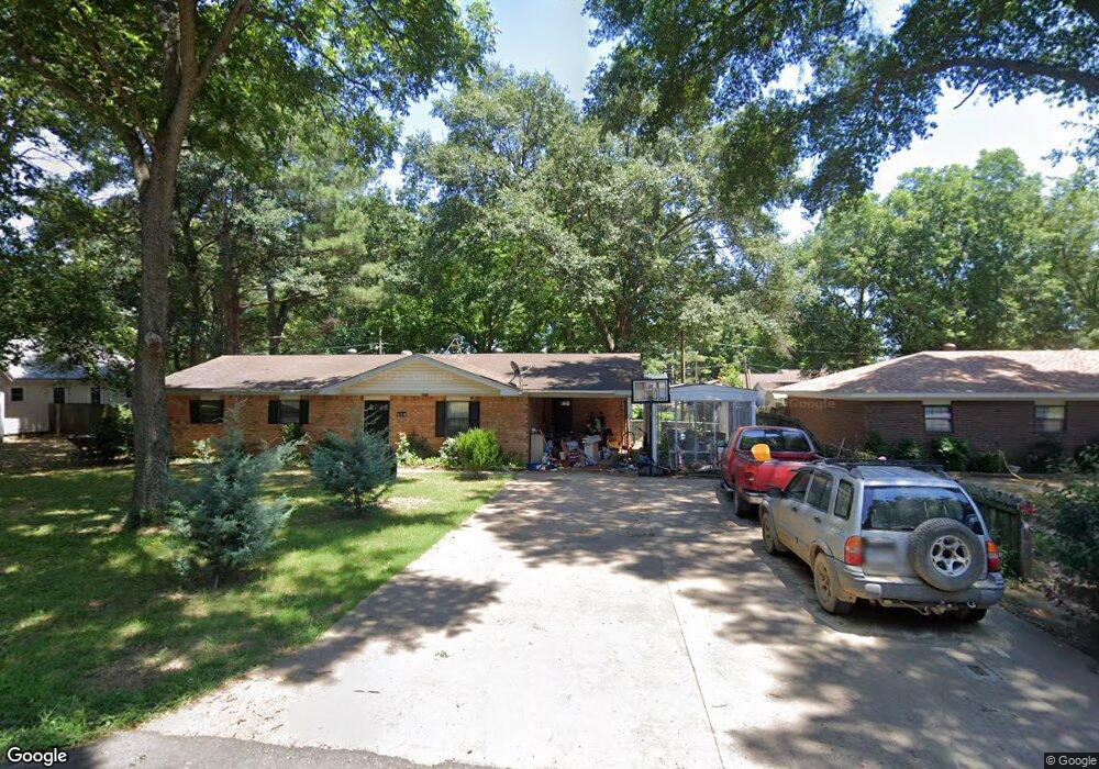
509 N Johnson St Mc Crory, AR 72101
Estimated Value: $98,382 - $151,000
--
Bed
1
Bath
1,292
Sq Ft
$94/Sq Ft
Est. Value
About This Home
This home is located at 509 N Johnson St, Mc Crory, AR 72101 and is currently estimated at $121,096, approximately $93 per square foot. 509 N Johnson St is a home with nearby schools including McCrory Elementary School and McCrory High School.
Ownership History
Date
Name
Owned For
Owner Type
Purchase Details
Closed on
Oct 10, 2019
Sold by
Eaves Dale and Eaves Mary
Bought by
Carter Timothy Michael
Current Estimated Value
Purchase Details
Closed on
Aug 18, 2011
Sold by
Field Mary Sue
Bought by
Eaves Dale and Garner Sherri
Purchase Details
Closed on
Feb 8, 2002
Bought by
Eaves Dale -Sherry Garner and Amarsha Alumbaugh
Purchase Details
Closed on
Jan 18, 2002
Bought by
Field Pat and Mary Sue
Purchase Details
Closed on
Feb 2, 1996
Bought by
Nichols Reita
Create a Home Valuation Report for This Property
The Home Valuation Report is an in-depth analysis detailing your home's value as well as a comparison with similar homes in the area
Home Values in the Area
Average Home Value in this Area
Purchase History
| Date | Buyer | Sale Price | Title Company |
|---|---|---|---|
| Carter Timothy Michael | $78,000 | None Available | |
| Eaves Dale | -- | -- | |
| Eaves Dale -Sherry Garner | -- | -- | |
| Field Pat | $46,000 | -- | |
| Nichols Reita | -- | -- |
Source: Public Records
Mortgage History
| Date | Status | Borrower | Loan Amount |
|---|---|---|---|
| Previous Owner | Nichols Reita | $0 |
Source: Public Records
Tax History Compared to Growth
Tax History
| Year | Tax Paid | Tax Assessment Tax Assessment Total Assessment is a certain percentage of the fair market value that is determined by local assessors to be the total taxable value of land and additions on the property. | Land | Improvement |
|---|---|---|---|---|
| 2024 | $239 | $14,470 | $2,150 | $12,320 |
| 2023 | $300 | $14,470 | $2,150 | $12,320 |
| 2022 | $350 | $14,470 | $2,150 | $12,320 |
| 2021 | $350 | $14,470 | $2,150 | $12,320 |
| 2020 | $350 | $14,470 | $2,150 | $12,320 |
| 2019 | $619 | $12,350 | $1,650 | $10,700 |
| 2018 | $619 | $12,350 | $1,650 | $10,700 |
| 2017 | $608 | $12,350 | $1,650 | $10,700 |
| 2016 | $608 | $12,350 | $1,650 | $10,700 |
| 2015 | $608 | $12,350 | $1,650 | $10,700 |
| 2014 | $613 | $12,460 | $3,260 | $9,200 |
Source: Public Records
Map
Nearby Homes
- 603 Seaman
- 0 Edmonds Ave Unit 25036424
- 505 E 3rd St
- 209 Cain Dr
- 307 W 2nd St
- 103 Raney Ave
- 211 Raymond Circle Dr
- 103 Maple St
- 307 W Chestnut St
- 0 Woodruff 793 Unit 25024183
- 000 Woodruff Cr 361
- 8114 Arkansas 145
- 00 Duncan Bend Trail
- 000 Hwy 64
- 20 Cr 505
- 301 Pine St
- 301 Pine St
- 20 C R 505
- 617 Walnut St
- 601 Broadway St