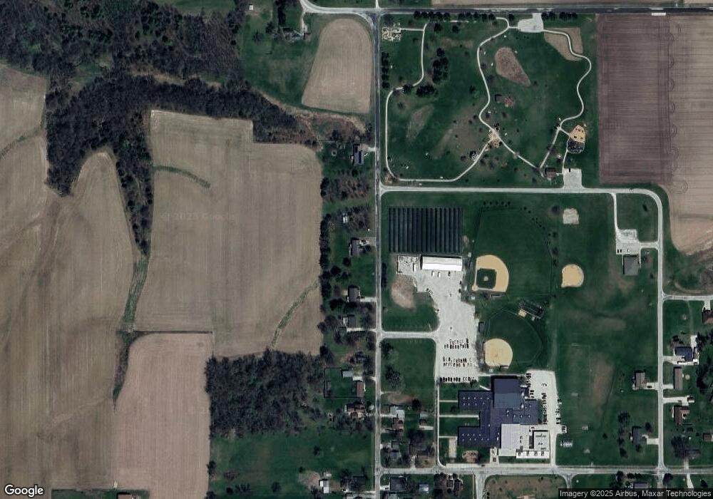
509 N Pine St Williamsfield, IL 61489
Estimated Value: $176,990 - $209,000
3
Beds
3
Baths
2,020
Sq Ft
$96/Sq Ft
Est. Value
About This Home
This home is located at 509 N Pine St, Williamsfield, IL 61489 and is currently estimated at $194,498, approximately $96 per square foot. 509 N Pine St is a home located in Knox County with nearby schools including Williamsfield Elementary School.
Ownership History
Date
Name
Owned For
Owner Type
Purchase Details
Closed on
Oct 16, 2020
Sold by
Crozier Mitchell D and Crozier Amanda J
Bought by
Andrew Scott J and Andrew Nichole Scott
Current Estimated Value
Home Financials for this Owner
Home Financials are based on the most recent Mortgage that was taken out on this home.
Original Mortgage
$103,200
Outstanding Balance
$90,885
Interest Rate
2.37%
Mortgage Type
Construction
Estimated Equity
$103,613
Purchase Details
Closed on
Mar 17, 2017
Sold by
Davis Jenni M and Davis Ty R
Bought by
Crozier Mitchell D and Crozier Amanda J
Create a Home Valuation Report for This Property
The Home Valuation Report is an in-depth analysis detailing your home's value as well as a comparison with similar homes in the area
Purchase History
| Date | Buyer | Sale Price | Title Company |
|---|---|---|---|
| Andrew Scott J | $129,000 | Attorney Only | |
| Crozier Mitchell D | $105,000 | Western Illinois Title |
Source: Public Records
Mortgage History
| Date | Status | Borrower | Loan Amount |
|---|---|---|---|
| Open | Andrew Scott J | $103,200 | |
| Closed | Crozier Mitchell D | $105,000 |
Source: Public Records
Tax History
| Year | Tax Paid | Tax Assessment Tax Assessment Total Assessment is a certain percentage of the fair market value that is determined by local assessors to be the total taxable value of land and additions on the property. | Land | Improvement |
|---|---|---|---|---|
| 2024 | $3,505 | $50,160 | $1,200 | $48,960 |
| 2023 | $3,505 | $47,000 | $1,120 | $45,880 |
| 2022 | $3,019 | $41,610 | $990 | $40,620 |
| 2021 | $2,978 | $40,010 | $950 | $39,060 |
| 2020 | $2,838 | $37,390 | $890 | $36,500 |
| 2019 | $2,801 | $37,390 | $890 | $36,500 |
| 2018 | $2,646 | $37,390 | $890 | $36,500 |
| 2017 | $3,759 | $50,850 | $890 | $49,960 |
| 2015 | -- | $49,850 | $870 | $48,980 |
| 2013 | $3,454 | $52,480 | $920 | $51,560 |
Source: Public Records
Map
Nearby Homes
- 118 S Locust St
- 1841 Knox 1400n
- 1841 Knox Road 1400 N
- 00 N Knox Rd
- Knox 1400n
- 00 Knox Rd
- 000 Knox Rd
- 8145 Oak Run Dr
- 480 Township Rd 150 E
- 8020 Oak Run Dr
- 83 Parkside Ct
- 20705 N Route 78
- 54 Shady Oak Ct
- 14517 N Elmore Rd
- 110 Birch Ct
- 1600 Manson Height Rd
- 216 Black Oak Ct
- 3190 Oak Run Dr
- 1667 Sherwood Rd Unit 11424
- 1669 Sherwood Rd Unit 4331
Your Personal Tour Guide
Ask me questions while you tour the home.
