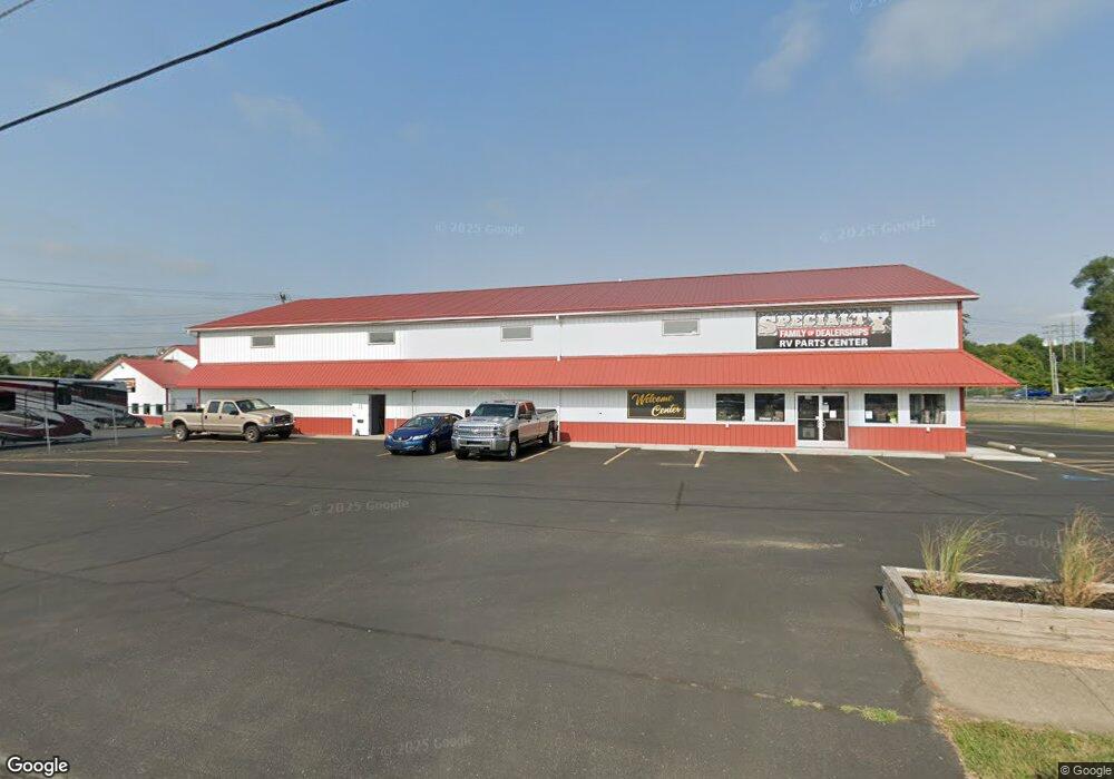
509 S Broad St Lancaster, OH 43130
Estimated Value: $531,484
--
Bed
--
Bath
4,974
Sq Ft
$107/Sq Ft
Est. Value
About This Home
This home is located at 509 S Broad St, Lancaster, OH 43130 and is currently estimated at $531,484, approximately $106 per square foot. 509 S Broad St is a home located in Fairfield County with nearby schools including Thomas Ewing Junior High School, Lancaster High School, and St Mary Elementary School.
Ownership History
Date
Name
Owned For
Owner Type
Purchase Details
Closed on
Dec 11, 2002
Sold by
Arnett Carl R
Bought by
C F D T Enterprises Llc
Current Estimated Value
Purchase Details
Closed on
Jan 10, 1995
Sold by
Wilma Rosso Trustee
Bought by
Carl R Arnett and Joseph T
Purchase Details
Closed on
Jan 24, 1992
Sold by
Rosso Thomas J
Bought by
Rosso Wilma E
Create a Home Valuation Report for This Property
The Home Valuation Report is an in-depth analysis detailing your home's value as well as a comparison with similar homes in the area
Home Values in the Area
Average Home Value in this Area
Purchase History
| Date | Buyer | Sale Price | Title Company |
|---|---|---|---|
| C F D T Enterprises Llc | $212,500 | -- | |
| Carl R Arnett | $145,000 | -- | |
| Rosso Wilma E | -- | -- |
Source: Public Records
Mortgage History
| Date | Status | Borrower | Loan Amount |
|---|---|---|---|
| Closed | Carl R Arnett | $0 |
Source: Public Records
Tax History Compared to Growth
Tax History
| Year | Tax Paid | Tax Assessment Tax Assessment Total Assessment is a certain percentage of the fair market value that is determined by local assessors to be the total taxable value of land and additions on the property. | Land | Improvement |
|---|---|---|---|---|
| 2024 | $1,518 | $16,880 | $14,470 | $2,410 |
| 2023 | $859 | $16,880 | $14,470 | $2,410 |
| 2022 | $866 | $16,880 | $14,470 | $2,410 |
| 2021 | $890 | $16,880 | $14,470 | $2,410 |
| 2020 | $861 | $16,880 | $14,470 | $2,410 |
| 2019 | $827 | $16,880 | $14,470 | $2,410 |
| 2018 | $807 | $16,880 | $14,470 | $2,410 |
| 2017 | $805 | $16,880 | $14,470 | $2,410 |
| 2016 | $778 | $16,880 | $14,470 | $2,410 |
| 2015 | $785 | $16,880 | $14,470 | $2,410 |
| 2014 | $751 | $16,880 | $14,470 | $2,410 |
| 2013 | $751 | $16,880 | $14,470 | $2,410 |
Source: Public Records
Map
Nearby Homes
- 233 Lewis Ave
- 0 N Columbus St
- 154 E Main St
- 0 N Memorial Dr
- 441 E Locust St
- 573 Willow St
- 115 E Wheeling St
- 617 Reese Ave
- 312 Witte St
- 308 Wheat St
- 0 Slocum Ave
- 636 Reese Ave
- 113 N George St
- 153 King St
- 510 W Wheeling St
- 1021 Sugar Grove Rd SE
- 545 E Main St
- 571 E Chestnut St
- 534 E Wheeling St
- 1035 Sugar Grove Rd SE
- 520 S Broad St
- 512 S Broad St
- 433 S Columbus St
- 433 S Columbus St Unit B
- 433 S Columbus St Unit A
- 431 S Columbus St
- 431 S Columbus St Unit A
- 506 S Columbus St
- 516 S Columbus St
- 417 S Columbus St
- 424 S Broad St
- 520 S Columbus St
- 544 S Broad St
- 420 S Broad St
- 405 S Columbus St
- 401 S Columbus St
- 418 S Broad St
- 409 S Broad St
- 417 S Broad St
- 113 Grogan St