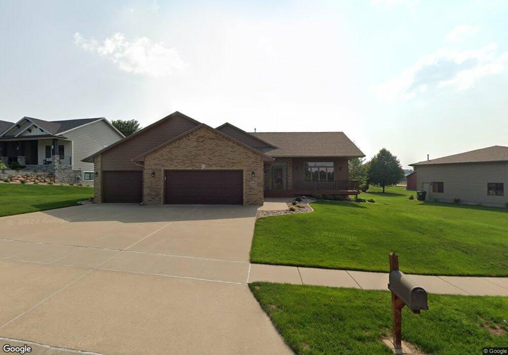
509 S Browning Dr Sioux Falls, SD 57106
Northwest Sioux Falls NeighborhoodEstimated Value: $485,000 - $622,000
6
Beds
4
Baths
3,164
Sq Ft
$179/Sq Ft
Est. Value
About This Home
This home is located at 509 S Browning Dr, Sioux Falls, SD 57106 and is currently estimated at $566,518, approximately $179 per square foot. 509 S Browning Dr is a home located in Minnehaha County with nearby schools including Discovery Elementary School, Memorial Middle School, and Jefferson High School - 67.
Ownership History
Date
Name
Owned For
Owner Type
Purchase Details
Closed on
Aug 17, 2020
Sold by
Donat Robert M and Donat Laura A
Bought by
Mcgoffin Michael W and Mcgoffin Marine A
Current Estimated Value
Home Financials for this Owner
Home Financials are based on the most recent Mortgage that was taken out on this home.
Original Mortgage
$106,000
Outstanding Balance
$75,099
Interest Rate
2.9%
Mortgage Type
New Conventional
Estimated Equity
$491,419
Create a Home Valuation Report for This Property
The Home Valuation Report is an in-depth analysis detailing your home's value as well as a comparison with similar homes in the area
Home Values in the Area
Average Home Value in this Area
Purchase History
| Date | Buyer | Sale Price | Title Company |
|---|---|---|---|
| Mcgoffin Michael W | $417,000 | Stewart Title Company |
Source: Public Records
Mortgage History
| Date | Status | Borrower | Loan Amount |
|---|---|---|---|
| Open | Mcgoffin Michael W | $106,000 |
Source: Public Records
Tax History
| Year | Tax Paid | Tax Assessment Tax Assessment Total Assessment is a certain percentage of the fair market value that is determined by local assessors to be the total taxable value of land and additions on the property. | Land | Improvement |
|---|---|---|---|---|
| 2024 | $7,164 | $530,400 | $55,500 | $474,900 |
| 2023 | $7,375 | $526,500 | $49,600 | $476,900 |
| 2022 | $6,796 | $456,900 | $49,600 | $407,300 |
| 2021 | $6,487 | $400,900 | $0 | $0 |
| 2020 | $6,487 | $419,000 | $0 | $0 |
| 2019 | $6,106 | $386,838 | $0 | $0 |
| 2018 | $5,823 | $376,214 | $0 | $0 |
| 2017 | $5,565 | $370,686 | $52,768 | $317,918 |
| 2016 | $5,565 | $354,098 | $52,768 | $301,330 |
| 2015 | $5,482 | $335,217 | $50,473 | $284,744 |
| 2014 | $5,252 | $324,168 | $50,473 | $273,695 |
Source: Public Records
Map
Nearby Homes
- 7505 W 15th St
- 7816 W Kelsey Cir
- 811 S Discovery Ave
- 7512 W Stoney Creek St
- 8016 W Browning St
- 809 S Outlook Dr
- 7209 W Stoney Creek St
- 1201 S Montpelier Ave Ave
- 516 S Mary Gene Ave
- 824 S Tanglewood Ave
- 1301 S Hyannis Port Ln
- 1107 S President Ct
- 100 N Bryggen Place
- 102 N Bryggen Place
- 104 N Bryggen Place
- 106 N Bryggen Place
- 521 S Big Stone Ave
- 8607 W Shoreline Place
- 1400 S Hyde Park Ave
- 8609 W Shoreline Place
- 513 S Browning Dr
- 505 S Browning Dr
- 508 S Benelli Dr
- 504 S Benelli Dr
- 504 S Benelli Dr Dr
- 512 S Benelli Dr
- 517 S Browning Dr
- 508 S Browning Dr
- 500 S Discovery Ave
- 516 S Benelli Dr
- 509 S Benelli Dr
- 600 S Tayberry Ave
- 501 S Benelli Dr
- 601 S Browning Dr
- 7500 W Browning Cir
- 513 S Benelli Dr
- 600 S Benelli Dr
- 600 S Benelli Dr Dr
- 601 S Benelli Dr
- 605 S Browning Dr
Your Personal Tour Guide
Ask me questions while you tour the home.