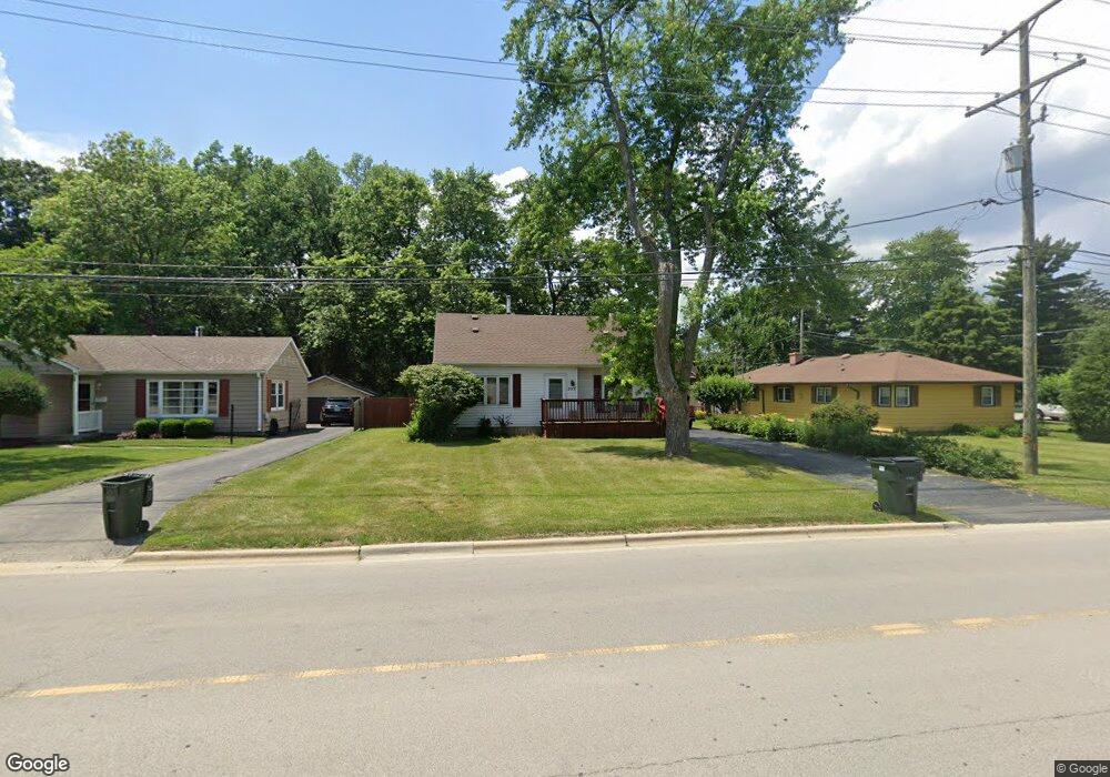
509 S Cedar Rd New Lenox, IL 60451
Estimated Value: $273,000 - $322,000
4
Beds
3
Baths
--
Sq Ft
10,019
Sq Ft Lot
About This Home
This home is located at 509 S Cedar Rd, New Lenox, IL 60451 and is currently estimated at $294,565. 509 S Cedar Rd is a home located in Will County with nearby schools including Bentley Elementary School, Arnold J Tyler School, and Alex M Martino Jr High School.
Ownership History
Date
Name
Owned For
Owner Type
Purchase Details
Closed on
Nov 17, 2006
Sold by
Krohn Gene R and Krohn Helen M
Bought by
Lowey Tyson A
Current Estimated Value
Home Financials for this Owner
Home Financials are based on the most recent Mortgage that was taken out on this home.
Original Mortgage
$166,400
Outstanding Balance
$99,475
Interest Rate
6.4%
Mortgage Type
Purchase Money Mortgage
Estimated Equity
$195,090
Create a Home Valuation Report for This Property
The Home Valuation Report is an in-depth analysis detailing your home's value as well as a comparison with similar homes in the area
Home Values in the Area
Average Home Value in this Area
Purchase History
| Date | Buyer | Sale Price | Title Company |
|---|---|---|---|
| Lowey Tyson A | $213,000 | Chicago Title Insurance Co |
Source: Public Records
Mortgage History
| Date | Status | Borrower | Loan Amount |
|---|---|---|---|
| Open | Lowey Tyson A | $166,400 |
Source: Public Records
Tax History
| Year | Tax Paid | Tax Assessment Tax Assessment Total Assessment is a certain percentage of the fair market value that is determined by local assessors to be the total taxable value of land and additions on the property. | Land | Improvement |
|---|---|---|---|---|
| 2024 | $6,764 | $91,347 | $24,035 | $67,312 |
| 2023 | $6,764 | $83,270 | $21,910 | $61,360 |
| 2022 | $6,118 | $76,711 | $20,184 | $56,527 |
| 2021 | $5,797 | $72,144 | $18,982 | $53,162 |
| 2020 | $5,625 | $69,570 | $18,305 | $51,265 |
| 2019 | $5,378 | $67,412 | $17,737 | $49,675 |
| 2018 | $5,247 | $65,087 | $17,125 | $47,962 |
| 2017 | $4,980 | $63,216 | $16,633 | $46,583 |
| 2016 | $4,829 | $61,524 | $16,188 | $45,336 |
| 2015 | $4,667 | $59,587 | $15,678 | $43,909 |
| 2014 | $4,667 | $58,851 | $15,484 | $43,367 |
| 2013 | $4,667 | $59,645 | $15,693 | $43,952 |
Source: Public Records
Map
Nearby Homes
- 289 Osage Ln
- 1787 Lakes Park Dr
- 3126 Timberlake Ave
- 2970 Timberlake Ave
- 3000 Timberlake Ave
- 3003 Timberlake Ave
- 2930 Amaranth Ct
- 270 Osage Ln
- 3024 Timberlake Ave
- 250 Teerling Cir
- 1801 Lakes Park Dr
- 1777 Lakes Park Dr
- 2951 Amaranth Ct
- 2920 Amaranth Ct
- 3174 Waterwood Ln
- 2940 Amaranth Ct
- 295 Osage Ln
- 3114 Timberlake Ave
- 3122 Goldberry Ct
- 3198 Waterwood Ln
- 108 W 4th Ave
- 114 W 4th Ave
- 519 S Cedar Rd
- 124 W 4th Ave
- 429 S Cedar Rd
- 2920 Rosewood Dr
- 3015 Timberlake Ave
- 1043 Kinley Dr
- 550 Lot 2 Laraway Rd
- 500 Lot 1 Laraway Rd
- 00 NE Corner Cherry Hill Road and Moss Lane Rd
- 000 Stone Ct
- 2227 Jetstream Dr
- 2227 Runway Dr
- 2284 Jetstream Dr
- 1100 Industry Rd
- 821 Place
- 0000 Confidential
- Lot 13 & 14 S Moni Dr
- 121 Hempstead Place
Your Personal Tour Guide
Ask me questions while you tour the home.