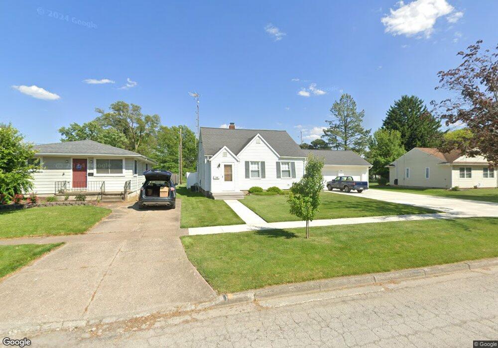
509 S Pennsylvania Ave Fremont, OH 43420
Estimated Value: $168,000 - $198,095
4
Beds
2
Baths
1,410
Sq Ft
$130/Sq Ft
Est. Value
About This Home
This home is located at 509 S Pennsylvania Ave, Fremont, OH 43420 and is currently estimated at $183,774, approximately $130 per square foot. 509 S Pennsylvania Ave is a home located in Sandusky County with nearby schools including Fremont Ross High School, Sacred Heart School, and Bishop Hoffman Catholic School - This is St Joe's School now.
Ownership History
Date
Name
Owned For
Owner Type
Purchase Details
Closed on
Oct 3, 1997
Sold by
Est Lola R Charles
Bought by
Roehrich Wilhelm H
Current Estimated Value
Home Financials for this Owner
Home Financials are based on the most recent Mortgage that was taken out on this home.
Original Mortgage
$60,000
Interest Rate
7.54%
Mortgage Type
New Conventional
Create a Home Valuation Report for This Property
The Home Valuation Report is an in-depth analysis detailing your home's value as well as a comparison with similar homes in the area
Home Values in the Area
Average Home Value in this Area
Purchase History
| Date | Buyer | Sale Price | Title Company |
|---|---|---|---|
| Roehrich Wilhelm H | $80,000 | -- |
Source: Public Records
Mortgage History
| Date | Status | Borrower | Loan Amount |
|---|---|---|---|
| Closed | Roehrich Wilhelm H | $60,000 |
Source: Public Records
Tax History Compared to Growth
Tax History
| Year | Tax Paid | Tax Assessment Tax Assessment Total Assessment is a certain percentage of the fair market value that is determined by local assessors to be the total taxable value of land and additions on the property. | Land | Improvement |
|---|---|---|---|---|
| 2024 | $2,202 | $59,640 | $15,890 | $43,750 |
| 2023 | $2,202 | $47,710 | $12,710 | $35,000 |
| 2022 | $1,851 | $47,710 | $12,710 | $35,000 |
| 2021 | $1,912 | $47,710 | $12,710 | $35,000 |
| 2020 | $1,543 | $37,910 | $12,710 | $25,200 |
| 2019 | $1,541 | $37,910 | $12,710 | $25,200 |
| 2018 | $1,544 | $37,910 | $12,710 | $25,200 |
| 2017 | $1,448 | $35,430 | $12,710 | $22,720 |
| 2016 | $1,270 | $35,430 | $12,710 | $22,720 |
| 2015 | $1,248 | $35,430 | $12,710 | $22,720 |
| 2014 | $1,403 | $38,010 | $12,810 | $25,200 |
| 2013 | $1,372 | $38,010 | $12,810 | $25,200 |
Source: Public Records
Map
Nearby Homes
- 925 Woodland St
- 314 S Collinwood Blvd
- 906 Amsden Blvd
- 0 S Buchanan St
- 600 S Buchanan St
- 924 Birdseye Blvd
- 800 Lawndale Dr
- 1526 Sunrise Blvd
- 714 E State St
- 230 N Pennsylvania Ave
- 322 4th St
- 208 E State St
- 320 Tiffin St
- 515 S Arch St
- 318 Ethan Dr
- 1250 Morrison Rd
- 224 Sandusky Ave Unit 226
- 315 Ethan Dr
- 340 340 Sandusky Ave
- 433 Sandusky Ave
- 505 S Pennsylvania Ave
- 501 S Pennsylvania Ave
- 523 S Pennsylvania Ave
- 504 S Pennsylvania Ave
- 527 S Pennsylvania Ave
- 508 S Pennsylvania Ave
- 500 S Pennsylvania Ave
- 409 S Pennsylvania Ave
- 510 S Pennsylvania Ave
- 1212 Elmwood St
- 412 S Pennsylvania Ave
- 528 S Pennsylvania Ave
- 529 S Pennsylvania Ave
- 407 S Pennsylvania Ave
- 513 S Collinwood Blvd
- 0 S Columbus Ave
- 515 S Collinwood Blvd
- 408 S Pennsylvania Ave
- 505 S Collinwood Blvd
- 530 S Pennsylvania Ave