509 Scoggin Pond Rd Pearson, GA 31642
Estimated Value: $112,000 - $525,926
--
Bed
--
Bath
768
Sq Ft
$415/Sq Ft
Est. Value
About This Home
This home is located at 509 Scoggin Pond Rd, Pearson, GA 31642 and is currently estimated at $318,963, approximately $415 per square foot. 509 Scoggin Pond Rd is a home with nearby schools including Pearson Elementary School, Willacoochee Elementary School, and Atkinson County High School.
Ownership History
Date
Name
Owned For
Owner Type
Purchase Details
Closed on
Feb 3, 2009
Sold by
Gregory Mullis James Gerald
Bought by
Mullis Ii James G and Mullis Janna S
Current Estimated Value
Purchase Details
Closed on
Feb 28, 2007
Sold by
Mullis Gerald F
Bought by
Mullis Phillip Buford
Purchase Details
Closed on
Nov 12, 2003
Sold by
Mullis James Estate
Bought by
Mullis James Gerald Greg
Purchase Details
Closed on
Nov 4, 2003
Bought by
Mullis James Gerald Greg
Purchase Details
Closed on
Aug 25, 1950
Bought by
Mullis James
Create a Home Valuation Report for This Property
The Home Valuation Report is an in-depth analysis detailing your home's value as well as a comparison with similar homes in the area
Home Values in the Area
Average Home Value in this Area
Purchase History
| Date | Buyer | Sale Price | Title Company |
|---|---|---|---|
| Mullis Ii James G | -- | -- | |
| Mullis Phillip Buford | -- | -- | |
| Mullis James Gerald Greg | -- | -- | |
| Mullis James Gerald Greg | -- | -- | |
| Mullis James | -- | -- |
Source: Public Records
Tax History Compared to Growth
Tax History
| Year | Tax Paid | Tax Assessment Tax Assessment Total Assessment is a certain percentage of the fair market value that is determined by local assessors to be the total taxable value of land and additions on the property. | Land | Improvement |
|---|---|---|---|---|
| 2024 | $2,642 | $88,397 | $60,800 | $27,597 |
| 2023 | $2,092 | $88,397 | $60,800 | $27,597 |
| 2022 | $2,589 | $88,397 | $60,800 | $27,597 |
| 2021 | $2,676 | $88,397 | $60,800 | $27,597 |
| 2020 | $2,627 | $83,788 | $56,191 | $27,597 |
| 2019 | $2,578 | $83,788 | $56,191 | $27,597 |
| 2018 | $2,708 | $83,788 | $56,191 | $27,597 |
| 2017 | $2,482 | $83,788 | $56,191 | $27,597 |
| 2016 | $2,435 | $83,788 | $56,191 | $27,597 |
| 2015 | -- | $82,049 | $0 | $0 |
| 2014 | -- | $79,227 | $0 | $0 |
Source: Public Records
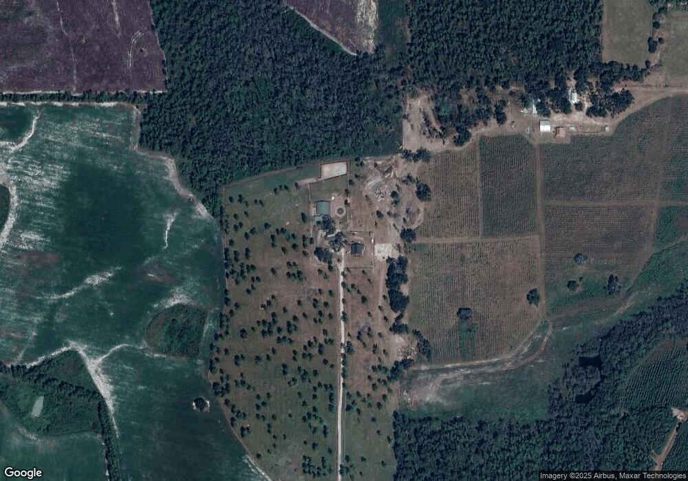
Map
Nearby Homes
- 110 Shortrun Ln
- 00 Cogdell Hwy
- 00 Us-441 S
- 0 Honeysuckle Ln Unit 10623320
- 00 Branch Farm Rd
- 149 Red Bluff Rd
- 1398 Adventure Trail
- 684 Columbus Rd
- Tbd Lazy Nine Rd
- 0 Grey Hawk Rd
- 0 Thorn Bird Rd
- 1125 Barn Owl Ln
- 6689 Thorn Bird Rd
- Tbd Duncan Bridge Rd
- Tbd Albany Hwy
- 6860 Douglas Hwy
- 121 Farms Edge Rd
- 82 Old 122 Hwy E
- 1386 Carswell Street Extension
- 1362 Carswell Street Extension