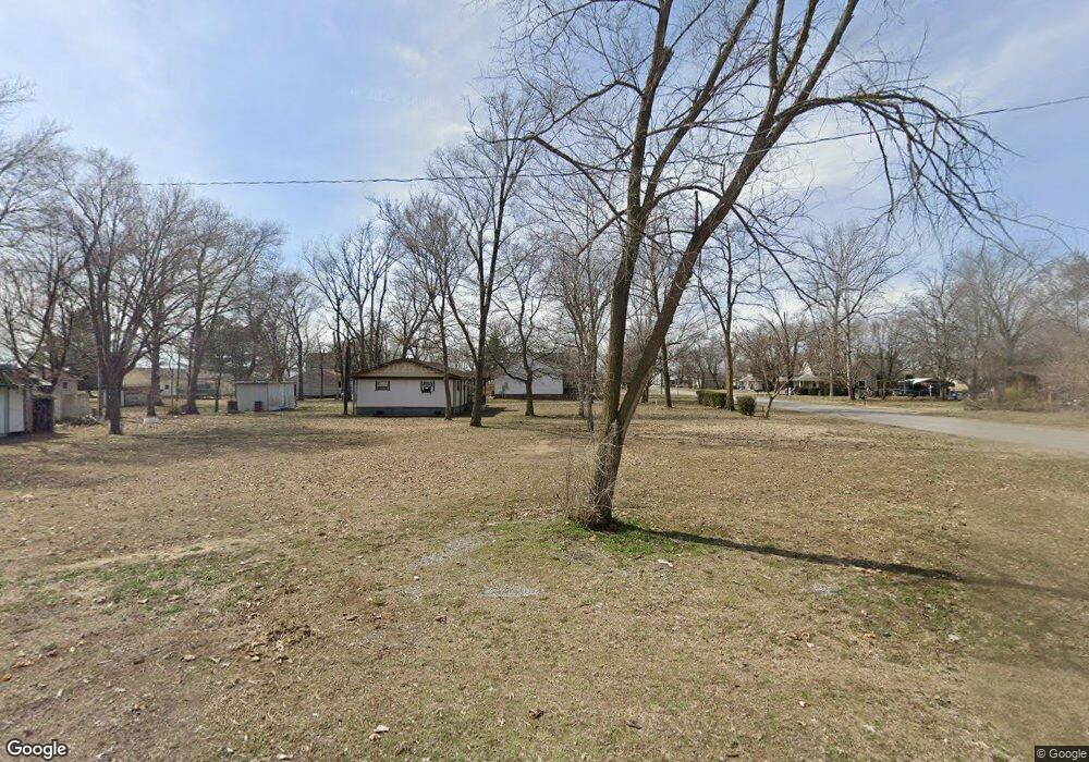
509 Vanduser St Vanduser, MO 63784
Estimated Value: $48,857 - $146,000
Studio
--
Bath
1,120
Sq Ft
$87/Sq Ft
Est. Value
About This Home
This home is located at 509 Vanduser St, Vanduser, MO 63784 and is currently estimated at $97,429, approximately $86 per square foot. 509 Vanduser St is a home with nearby schools including Scott County Central Elementary School, Scott County Central High School, and Anchor Academy.
Ownership History
Date
Name
Owned For
Owner Type
Purchase Details
Closed on
Mar 25, 2025
Sold by
Graviett Timothy Clay and Cherry Mae
Bought by
Wright John and Wright Paula
Current Estimated Value
Purchase Details
Closed on
Dec 11, 2023
Sold by
Belt Halie and Belt Christopher
Bought by
Graviett Timothy Clay and Graviett Cherry Mae
Purchase Details
Closed on
May 22, 2023
Sold by
Rysdam Helen Racheal
Bought by
Belt Halie and Belt Christopher
Purchase Details
Closed on
Feb 25, 2022
Sold by
Harvest Foundation Inc
Bought by
Rysdom Helen Rachael
Purchase Details
Closed on
Apr 11, 2018
Sold by
Watkins Johnny and Watkins Edith
Bought by
Harvest Foundation Inc
Create a Home Valuation Report for This Property
The Home Valuation Report is an in-depth analysis detailing your home's value as well as a comparison with similar homes in the area
Purchase History
| Date | Buyer | Sale Price | Title Company |
|---|---|---|---|
| Wright John | -- | None Listed On Document | |
| Graviett Timothy Clay | -- | None Listed On Document | |
| Belt Halie | -- | None Listed On Document | |
| Belt Halie | -- | None Listed On Document | |
| Rysdom Helen Rachael | -- | -- | |
| Harvest Foundation Inc | -- | Semo Title Company |
Source: Public Records
Tax History
| Year | Tax Paid | Tax Assessment Tax Assessment Total Assessment is a certain percentage of the fair market value that is determined by local assessors to be the total taxable value of land and additions on the property. | Land | Improvement |
|---|---|---|---|---|
| 2025 | $32 | $430 | $0 | $0 |
| 2024 | $32 | $430 | $0 | $0 |
| 2023 | $31 | $430 | $0 | $0 |
| 2022 | $32 | $430 | $0 | $0 |
| 2021 | $32 | $430 | $0 | $0 |
| 2020 | $249 | $430 | $0 | $0 |
| 2019 | -- | $430 | $0 | $0 |
| 2018 | -- | $4,730 | $0 | $0 |
| 2017 | -- | $4,730 | $0 | $0 |
| 2014 | -- | $4,740 | $0 | $0 |
| 2011 | -- | $4,750 | $0 | $0 |
Source: Public Records
Map
Nearby Homes
- 22300 U S 61
- 22726 US Highway 61
- 828 State Highway Cc
- 102 Bronaugh St
- 311 S Haw St
- 1515 Greer St
- 361 County Highway 405
- 00 Ellen Ave
- 216 Sherrie Dr
- 8 Elizabeth Rd
- 202 Elm St
- 2036 State Highway Y
- 111 County Highway 250
- 402 Garner St
- 114 County Highway 448
- 000 Heathercrest St
- 1811 State Highway Z
- 10 Dement Rd
- 1601 N Main St
- 1611 State Highway Z
Your Personal Tour Guide
Ask me questions while you tour the home.