509 W 2000 N Pleasant Grove, UT 84062
Estimated Value: $964,000 - $1,483,284
3
Beds
4
Baths
3,203
Sq Ft
$375/Sq Ft
Est. Value
About This Home
This home is located at 509 W 2000 N, Pleasant Grove, UT 84062 and is currently estimated at $1,201,571, approximately $375 per square foot. 509 W 2000 N is a home with nearby schools including Manila Elementary School, Pleasant Grove Junior High School, and Pleasant Grove High School.
Ownership History
Date
Name
Owned For
Owner Type
Purchase Details
Closed on
Aug 7, 2024
Sold by
Krist And Sheryl Mcfarland Trust and Mcfarland Krist
Bought by
Dent Scott Carl and Dent Emma Kristina
Current Estimated Value
Purchase Details
Closed on
Sep 28, 2022
Sold by
Mcfarland Krist and Mcfarland Sheryl
Bought by
Krist And Sheryl Mcfarland Trust
Purchase Details
Closed on
Apr 17, 2020
Sold by
Mcfarlaaaand Krist and Mcfarland Sheryl
Bought by
Mcfarland Krist and Mcfarland Sheryl
Home Financials for this Owner
Home Financials are based on the most recent Mortgage that was taken out on this home.
Original Mortgage
$778,800
Interest Rate
3.2%
Mortgage Type
Construction
Purchase Details
Closed on
Jan 9, 2020
Sold by
Blackham Farms A Llc
Bought by
R C Dent Construction Llc
Purchase Details
Closed on
Dec 8, 2019
Sold by
R C Dent Construction Llc
Bought by
R C Dent Construction Llc
Create a Home Valuation Report for This Property
The Home Valuation Report is an in-depth analysis detailing your home's value as well as a comparison with similar homes in the area
Home Values in the Area
Average Home Value in this Area
Purchase History
Date | Buyer | Sale Price | Title Company |
---|---|---|---|
Dent Scott Carl | -- | Provo Land Title | |
Krist And Sheryl Mcfarland Trust | -- | -- | |
Mcfarland Krist | -- | Provo Land Title Co | |
R C Dent Construction Llc | -- | Cottonwood Ttl Ins Agcy Inc | |
R C Dent Construction Llc | -- | Provo Land Title Co |
Source: Public Records
Mortgage History
Date | Status | Borrower | Loan Amount |
---|---|---|---|
Previous Owner | Mcfarland Krist | $510,400 | |
Previous Owner | Mcfarland Krist | $778,800 |
Source: Public Records
Tax History Compared to Growth
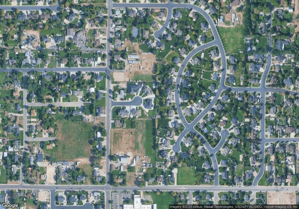
Tax History
Year | Tax Paid | Tax Assessment Tax Assessment Total Assessment is a certain percentage of the fair market value that is determined by local assessors to be the total taxable value of land and additions on the property. | Land | Improvement |
---|---|---|---|---|
2024 | $5,324 | $634,700 | $0 | $0 |
2023 | $4,938 | $603,295 | $0 | $0 |
2022 | $4,626 | $562,320 | $0 | $0 |
2021 | $4,251 | $786,800 | $259,600 | $527,200 |
2020 | $2,409 | $240,400 | $240,400 | $0 |
Source: Public Records
Map
Nearby Homes
- 532 W 2000 N
- 512 Glendon Way
- 16 W Windsong
- 1471 N 900 W
- 242 E 2320 N
- 175 W 1300 N
- 2251 N 270 E
- 888 W 2800 N
- 909 W 1180 N
- 556 W 1050 N
- 1320 W 1340 N
- 77 E 1100 N
- 3592 W Canyon Heights Dr
- 2254 N 1560 W
- 3408 W Bear Canyon Ln N Unit 53
- 9008 N Forest Lake Cir
- 1278 E 530 N
- 2662 N 1550 W
- 9147 N Renaissance Dr
- 1062 W 860 N
- 509 W 2000 N
- 527 W 2000 N Unit 5
- 2007 Tuscany Way
- 510 W 2000 N
- 1979 Tuscany Way
- 2033 Tuscany Way
- 583 W 2000 N
- 1880 N 600 W
- 1951 Tuscany Way
- 2059 Tuscany Way
- 1927 Glendon Cir
- 2083 Tuscany Way
- 2022 Tuscany Way
- 1913 Glendon Cir
- 1978 Tuscany Way
- 2021 N 600 W
- 1949 N 600 W Unit 4
- 1949 N 600 W
- 2056 Tuscany Way
- 619 W 2100 N