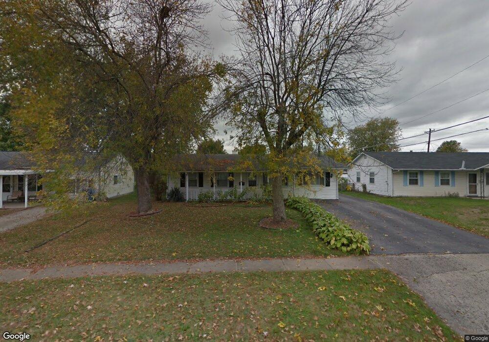
5091 Sutherland Dr Columbus, OH 43207
Obetz-Lockbourne NeighborhoodEstimated Value: $224,427 - $238,000
3
Beds
1
Bath
1,700
Sq Ft
$136/Sq Ft
Est. Value
About This Home
This home is located at 5091 Sutherland Dr, Columbus, OH 43207 and is currently estimated at $231,607, approximately $136 per square foot. 5091 Sutherland Dr is a home located in Franklin County with nearby schools including Hamilton Elementary School, Hamilton Intermediate School, and Hamilton Middle School.
Ownership History
Date
Name
Owned For
Owner Type
Purchase Details
Closed on
Jul 25, 1997
Sold by
Morrow Charles E and Morrow Carol L
Bought by
Stitt Karen A
Current Estimated Value
Home Financials for this Owner
Home Financials are based on the most recent Mortgage that was taken out on this home.
Original Mortgage
$83,640
Outstanding Balance
$10,738
Interest Rate
7.81%
Mortgage Type
FHA
Estimated Equity
$220,869
Purchase Details
Closed on
Mar 1, 1987
Purchase Details
Closed on
Oct 1, 1983
Create a Home Valuation Report for This Property
The Home Valuation Report is an in-depth analysis detailing your home's value as well as a comparison with similar homes in the area
Home Values in the Area
Average Home Value in this Area
Purchase History
| Date | Buyer | Sale Price | Title Company |
|---|---|---|---|
| Stitt Karen A | $84,000 | Title First Agency Inc | |
| -- | $43,200 | -- | |
| -- | -- | -- |
Source: Public Records
Mortgage History
| Date | Status | Borrower | Loan Amount |
|---|---|---|---|
| Open | Stitt Karen A | $83,640 |
Source: Public Records
Tax History
| Year | Tax Paid | Tax Assessment Tax Assessment Total Assessment is a certain percentage of the fair market value that is determined by local assessors to be the total taxable value of land and additions on the property. | Land | Improvement |
|---|---|---|---|---|
| 2025 | $2,965 | $64,900 | $17,120 | $47,780 |
| 2024 | $2,965 | $64,900 | $17,120 | $47,780 |
| 2023 | $2,950 | $64,890 | $17,115 | $47,775 |
| 2022 | $1,796 | $33,120 | $6,130 | $26,990 |
| 2021 | $1,820 | $33,120 | $6,130 | $26,990 |
| 2020 | $1,854 | $33,120 | $6,130 | $26,990 |
| 2019 | $2,409 | $27,620 | $5,110 | $22,510 |
| 2018 | $1,899 | $27,620 | $5,110 | $22,510 |
| 2017 | $1,873 | $27,620 | $5,110 | $22,510 |
| 2016 | $2,008 | $31,050 | $5,950 | $25,100 |
| 2015 | $1,905 | $31,050 | $5,950 | $25,100 |
| 2014 | $1,895 | $31,050 | $5,950 | $25,100 |
| 2013 | $1,015 | $34,510 | $6,615 | $27,895 |
Source: Public Records
Map
Nearby Homes
- 5112 Fairlane Rd
- 1291 Webb Dr Unit Lot 90
- 1307 Webb Dr Unit Lot 92
- 1315 Webb Dr Unit Lot 93
- 5220 Edgeview Rd
- 4926 Meadowbrook Dr
- 908 Tecumseh Ave
- 1132 Ayrshire Dr
- 4917 Crestbrook Dr
- 4410 Holstein Dr
- 4436 Wesley Trail
- 1962 Reese Ave
- 1987 Reese Ave
- 990 Jerry Lee Dr
- 2027 Reese Ave
- 4455 Catamaran Dr
- 4412 Catamaran Dr
- 4344 Brett Ln
- 5130 Dexter Ct
- 4356 Monterey Ct
- 5099 Sutherland Dr
- 5083 Sutherland Dr
- 1107 Moncrief Ave
- 1119 Moncrief Ave
- 5119 Edgeview Rd
- 5105 Fairlane Rd
- 5094 Sutherland Dr
- 1099 Moncrief Ave
- 5105 Edgeview Rd
- 5123 Edgeview Rd
- 5074 Sutherland Dr
- 5107 Fairlane Rd
- 1091 Moncrief Ave
- 5066 Sutherland Dr
- 1112 Moncrief Ave
- 1083 Moncrief Ave
- 5101 Edgeview Rd
- 5112 Edgeview Rd
- 5108 Edgeview Rd
- 1104 Moncrief Ave
Your Personal Tour Guide
Ask me questions while you tour the home.