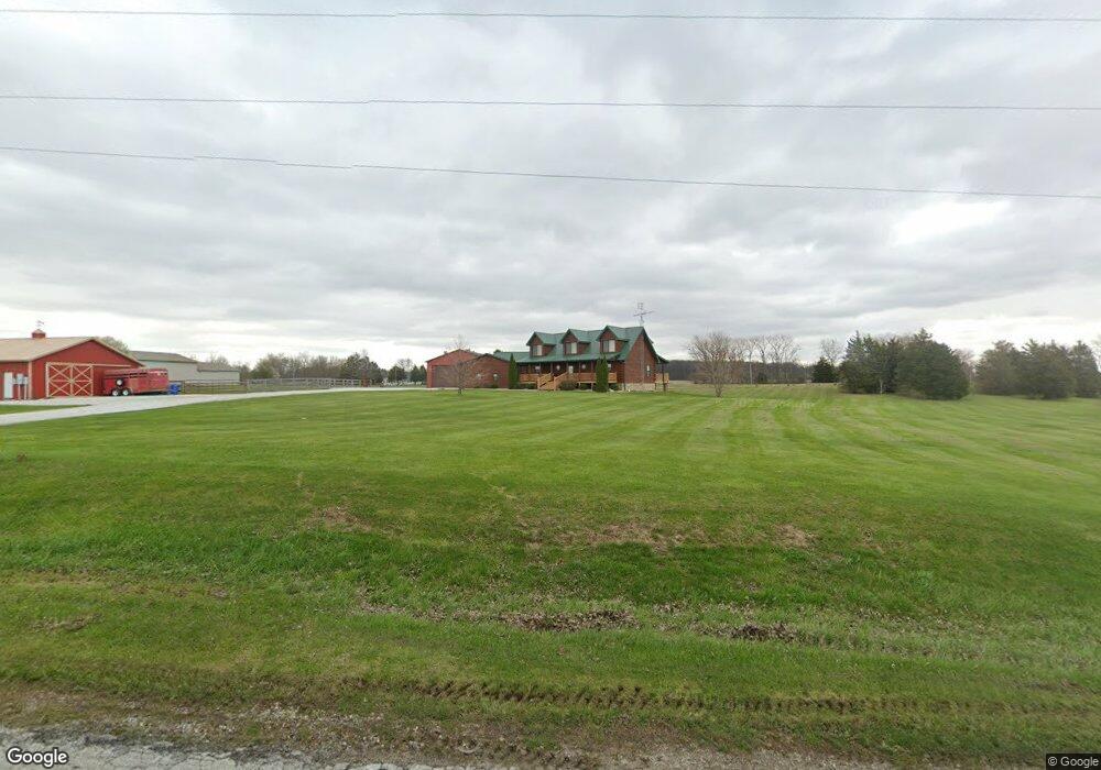
5096 N Lagro Rd Marion, IN 46952
Estimated Value: $403,000 - $545,941
3
Beds
3
Baths
2,093
Sq Ft
$225/Sq Ft
Est. Value
About This Home
This home is located at 5096 N Lagro Rd, Marion, IN 46952 and is currently estimated at $470,980, approximately $225 per square foot. 5096 N Lagro Rd is a home located in Grant County with nearby schools including Converse Elementary School, Sweetser Elementary School, and Oak Hill Junior High School.
Ownership History
Date
Name
Owned For
Owner Type
Purchase Details
Closed on
Feb 6, 2008
Sold by
Morrow William A and Morrow Douglas W
Bought by
Malott Danny L and Malott Michelle D
Current Estimated Value
Home Financials for this Owner
Home Financials are based on the most recent Mortgage that was taken out on this home.
Original Mortgage
$270,750
Outstanding Balance
$176,481
Interest Rate
6.11%
Mortgage Type
New Conventional
Estimated Equity
$294,499
Create a Home Valuation Report for This Property
The Home Valuation Report is an in-depth analysis detailing your home's value as well as a comparison with similar homes in the area
Home Values in the Area
Average Home Value in this Area
Purchase History
| Date | Buyer | Sale Price | Title Company |
|---|---|---|---|
| Malott Danny L | -- | None Available |
Source: Public Records
Mortgage History
| Date | Status | Borrower | Loan Amount |
|---|---|---|---|
| Open | Malott Danny L | $270,750 |
Source: Public Records
Tax History Compared to Growth
Tax History
| Year | Tax Paid | Tax Assessment Tax Assessment Total Assessment is a certain percentage of the fair market value that is determined by local assessors to be the total taxable value of land and additions on the property. | Land | Improvement |
|---|---|---|---|---|
| 2024 | $2,851 | $398,900 | $40,200 | $358,700 |
| 2023 | $2,610 | $340,300 | $39,200 | $301,100 |
| 2022 | $2,854 | $315,500 | $30,500 | $285,000 |
| 2021 | $2,110 | $280,300 | $29,900 | $250,400 |
| 2020 | $1,910 | $273,000 | $28,600 | $244,400 |
| 2019 | $1,639 | $267,000 | $29,400 | $237,600 |
| 2018 | $1,940 | $259,000 | $29,500 | $229,500 |
| 2017 | $1,316 | $241,200 | $30,200 | $211,000 |
| 2016 | $1,323 | $247,000 | $30,500 | $216,500 |
| 2014 | $1,353 | $248,100 | $38,000 | $210,100 |
| 2013 | $1,353 | $247,300 | $38,000 | $209,300 |
Source: Public Records
Map
Nearby Homes
- 4493 N Wabash Rd
- 1920 W Westholme Dr
- 4769 N Brooke Dr
- 3930 N Avalon Dr
- 3920 N Avalon Dr
- 933 E Bocock Rd
- 3816 N Huntington Rd
- 3105 N Huntington Rd
- 1906 W James Dr
- 1660 E Bocock Rd
- 2214 N Wabash Rd
- 2325 N Huntington Rd
- 2220 N Huntington Rd
- 1706 N Denver Dr
- 1516 N Wabash Ave
- 1515 N Wabash Ave
- 1614 Fox Trail Unit 1
- 4091 N 300 E
- 1431 Fox Trail Unit 49
- 1511 N Marlin Dr