5097 E Allison Rd Camby, IN 46113
Estimated Value: $284,000 - $573,000
3
Beds
2
Baths
3,400
Sq Ft
$124/Sq Ft
Est. Value
About This Home
This home is located at 5097 E Allison Rd, Camby, IN 46113 and is currently estimated at $421,366, approximately $123 per square foot. 5097 E Allison Rd is a home located in Morgan County with nearby schools including Mooresville High School and Mooresville Christian Academy.
Ownership History
Date
Name
Owned For
Owner Type
Purchase Details
Closed on
Nov 8, 2013
Sold by
Hanlin Jeffrey W
Bought by
Ott Tonya L and Ott Bradley W
Current Estimated Value
Home Financials for this Owner
Home Financials are based on the most recent Mortgage that was taken out on this home.
Original Mortgage
$225,000
Outstanding Balance
$165,688
Interest Rate
4.3%
Mortgage Type
New Conventional
Estimated Equity
$255,678
Create a Home Valuation Report for This Property
The Home Valuation Report is an in-depth analysis detailing your home's value as well as a comparison with similar homes in the area
Home Values in the Area
Average Home Value in this Area
Purchase History
| Date | Buyer | Sale Price | Title Company |
|---|---|---|---|
| Ott Tonya L | -- | Chicago Title Company Llc |
Source: Public Records
Mortgage History
| Date | Status | Borrower | Loan Amount |
|---|---|---|---|
| Open | Ott Tonya L | $225,000 |
Source: Public Records
Tax History
| Year | Tax Paid | Tax Assessment Tax Assessment Total Assessment is a certain percentage of the fair market value that is determined by local assessors to be the total taxable value of land and additions on the property. | Land | Improvement |
|---|---|---|---|---|
| 2025 | $2,824 | $445,300 | $142,500 | $302,800 |
| 2024 | $2,824 | $452,200 | $142,500 | $309,700 |
| 2023 | $3,043 | $460,100 | $142,500 | $317,600 |
| 2022 | $3,231 | $451,600 | $142,500 | $309,100 |
| 2021 | $2,427 | $381,800 | $98,700 | $283,100 |
| 2020 | $2,463 | $377,500 | $98,700 | $278,800 |
| 2019 | $1,922 | $310,100 | $98,700 | $211,400 |
| 2018 | $1,751 | $294,500 | $98,700 | $195,800 |
| 2017 | $1,805 | $295,500 | $98,700 | $196,800 |
| 2016 | $1,824 | $297,700 | $98,700 | $199,000 |
| 2014 | $1,755 | $301,300 | $98,700 | $202,600 |
| 2013 | -- | $284,200 | $98,700 | $185,500 |
Source: Public Records
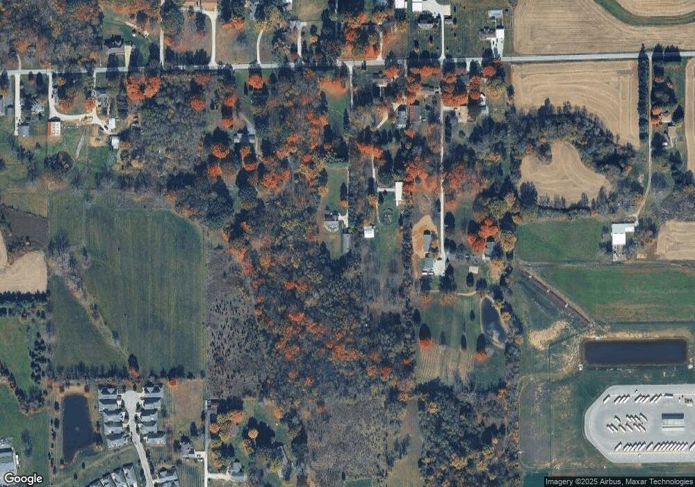
Map
Nearby Homes
- 0 N Martin Ln
- 0 Martin North Ln
- 5143 E Allison Rd
- 13847 N Settle Way
- 13755 George Ct
- 5406 E Commons North Dr
- 1005 Honeysuckle Ct
- 12756 N Commons East Dr
- 10814 Glenayr Dr
- 4398 E Allison Rd
- 12754 N Commons East Dr
- 512 Redwood Dr
- 5375 E Commons West Dr
- 13862 N Ferguson Rd
- 241 Liberty Blvd
- 1278 Hanging Rock Dr
- 1266 Hanging Rock Dr
- 200 Liberty Blvd
- 5452 E Hadley Rd
- 106 Broad Leaf Place
- 5065 E Allison Rd
- 5159 E Allison Rd
- 13343 N Martin Ln
- 0 Martin Ln Unit 21190431
- 5033 E Allison Rd
- 5173 E Allison Rd
- 13455 N Martin Ln
- 5209 E Allison Rd
- 5225 E Allison Rd
- 5138 E Allison Rd
- 5074 E Allison Rd
- 5100 E Landersdale Rd
- 574 Bridgestone Dr
- 574 Bridgestone Dr Unit 23
- 5066 E Allison Rd
- 5021 E Allison Rd
- 572 Bridgestone Dr Unit 24
- 572 Bridgestone Dr
- 5232 E Allison Rd
- 13207 N Landersdale Ln
Your Personal Tour Guide
Ask me questions while you tour the home.