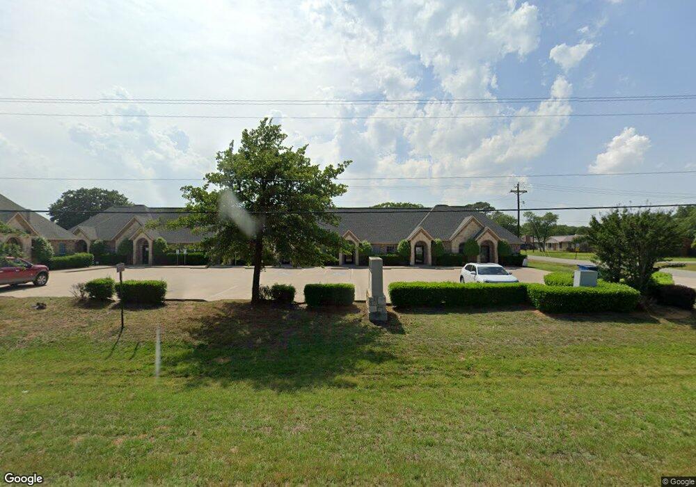
5099 Us Highway 377 S Unit 800 Aubrey, TX 76227
Estimated Value: $1,608,649
--
Bed
--
Bath
6,091
Sq Ft
$264/Sq Ft
Est. Value
About This Home
This home is located at 5099 Us Highway 377 S Unit 800, Aubrey, TX 76227 and is currently estimated at $1,608,649, approximately $264 per square foot. 5099 Us Highway 377 S Unit 800 is a home located in Denton County with nearby schools including HL Brockett Elementary School, Aubrey Middle School, and Aubrey High School.
Ownership History
Date
Name
Owned For
Owner Type
Purchase Details
Closed on
Nov 15, 2019
Sold by
Vining Bob and Vining Francine
Bought by
Juneja Manoj and Juneja Shaloo
Current Estimated Value
Home Financials for this Owner
Home Financials are based on the most recent Mortgage that was taken out on this home.
Original Mortgage
$731,250
Outstanding Balance
$643,951
Interest Rate
3.65%
Mortgage Type
Commercial
Estimated Equity
$964,698
Create a Home Valuation Report for This Property
The Home Valuation Report is an in-depth analysis detailing your home's value as well as a comparison with similar homes in the area
Home Values in the Area
Average Home Value in this Area
Purchase History
| Date | Buyer | Sale Price | Title Company |
|---|---|---|---|
| Juneja Manoj | -- | None Available |
Source: Public Records
Mortgage History
| Date | Status | Borrower | Loan Amount |
|---|---|---|---|
| Open | Juneja Manoj | $731,250 |
Source: Public Records
Tax History Compared to Growth
Tax History
| Year | Tax Paid | Tax Assessment Tax Assessment Total Assessment is a certain percentage of the fair market value that is determined by local assessors to be the total taxable value of land and additions on the property. | Land | Improvement |
|---|---|---|---|---|
| 2025 | $18,250 | $1,020,000 | $300,560 | $719,440 |
| 2024 | $18,250 | $975,000 | $240,448 | $734,552 |
| 2023 | $18,288 | $975,000 | $240,448 | $734,552 |
| 2022 | $19,942 | $950,000 | $240,448 | $709,552 |
| 2021 | $17,775 | $833,998 | $90,168 | $743,830 |
| 2020 | $18,191 | $833,998 | $90,168 | $743,830 |
| 2019 | $15,039 | $681,867 | $90,168 | $591,699 |
| 2018 | $13,468 | $650,000 | $90,168 | $559,832 |
| 2017 | $13,895 | $642,875 | $90,168 | $552,707 |
| 2016 | $13,780 | $637,538 | $90,168 | $547,370 |
| 2015 | -- | $588,088 | $90,168 | $497,920 |
| 2013 | -- | $520,000 | $90,168 | $429,832 |
Source: Public Records
Map
Nearby Homes
- 102 Faircrest Dr
- 4016 Reserve Way
- 4004 Reserve Way
- 115 Faircrest Dr
- 802 Sherry Ln S
- 117 Woodland Dr
- TBD Sherry Ln
- 815 Sherry Ln S
- TBD Lot 2 Surveyors Rd
- TBD Lot 3 Surveyors Rd
- TBD Lot 4 Surveyors Rd
- 4224 Clydesdale Dr
- 4233 Palomino Rd
- 4236 Silver Spur Ct
- 4304 Clydesdale Dr
- 4220 Silver Spur Ct
- 4312 Clydesdale Dr
- 4212 Silver Spur Ct
- 4321 Clydesdale Dr
- 4233 Silver Spur Ct
- 5099 Us Highway 377 S Unit 700
- 5099 Us Highway 377 S
- 5099 U S 377 Unit 500-60
- 5099 U S 377 Unit 700
- 103 Perkins Rd
- 105 Perkins Rd
- 102 Perkins Rd
- 104 Perkins Rd
- 106 Perkins Rd
- 109 Perkins Rd
- 100 Faircrest Dr
- 100 Woodland Dr
- 5195 U S 377
- 104 Faircrest Dr
- 101 Ranch Rd
- 108 Perkins Rd
- 108 Perkins Rd
- 111 Perkins Rd
- 106 Faircrest Dr
- 103 Ranch Rd