50B Berkshire Rd Whiting, NJ 08759
Manchester Township NeighborhoodEstimated Value: $182,000 - $219,000
2
Beds
1
Bath
1,076
Sq Ft
$190/Sq Ft
Est. Value
About This Home
This home is located at 50B Berkshire Rd, Whiting, NJ 08759 and is currently estimated at $204,518, approximately $190 per square foot. 50B Berkshire Rd is a home located in Ocean County with nearby schools including Manchester Township High School.
Ownership History
Date
Name
Owned For
Owner Type
Purchase Details
Closed on
Jul 14, 2004
Sold by
Cook Roger A and Cook Ruth D
Bought by
Neglio Catherine
Current Estimated Value
Home Financials for this Owner
Home Financials are based on the most recent Mortgage that was taken out on this home.
Original Mortgage
$40,000
Outstanding Balance
$20,062
Interest Rate
6.28%
Mortgage Type
Purchase Money Mortgage
Estimated Equity
$184,456
Purchase Details
Closed on
Aug 12, 1996
Sold by
Rush Mary N
Bought by
Cook Roger and Cook Ruth
Home Financials for this Owner
Home Financials are based on the most recent Mortgage that was taken out on this home.
Original Mortgage
$56,000
Interest Rate
8.18%
Mortgage Type
Purchase Money Mortgage
Create a Home Valuation Report for This Property
The Home Valuation Report is an in-depth analysis detailing your home's value as well as a comparison with similar homes in the area
Home Values in the Area
Average Home Value in this Area
Purchase History
| Date | Buyer | Sale Price | Title Company |
|---|---|---|---|
| Neglio Catherine | $91,500 | None Available | |
| Cook Roger | $64,000 | -- |
Source: Public Records
Mortgage History
| Date | Status | Borrower | Loan Amount |
|---|---|---|---|
| Open | Neglio Catherine | $40,000 | |
| Previous Owner | Cook Roger | $56,000 |
Source: Public Records
Tax History Compared to Growth
Tax History
| Year | Tax Paid | Tax Assessment Tax Assessment Total Assessment is a certain percentage of the fair market value that is determined by local assessors to be the total taxable value of land and additions on the property. | Land | Improvement |
|---|---|---|---|---|
| 2025 | $2,482 | $201,000 | $51,900 | $149,100 |
| 2024 | $2,356 | $101,100 | $9,500 | $91,600 |
| 2023 | $2,239 | $101,100 | $9,500 | $91,600 |
| 2022 | $2,239 | $101,100 | $9,500 | $91,600 |
| 2021 | $2,191 | $101,100 | $9,500 | $91,600 |
| 2020 | $2,133 | $101,100 | $9,500 | $91,600 |
| 2019 | $1,370 | $53,400 | $9,500 | $43,900 |
| 2018 | $1,364 | $53,400 | $9,500 | $43,900 |
| 2017 | $1,370 | $53,400 | $9,500 | $43,900 |
| 2016 | $1,353 | $53,400 | $9,500 | $43,900 |
| 2015 | $1,328 | $53,400 | $9,500 | $43,900 |
| 2014 | $1,301 | $53,400 | $9,500 | $43,900 |
Source: Public Records
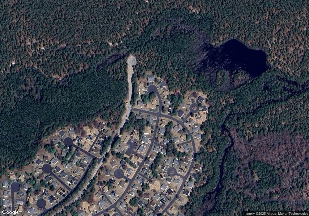
Map
Nearby Homes
- 30A Mill Rd Unit 64
- 16 C Berkshire Rd Unit 63
- 14 Berkshire Rd Unit 64
- 4 Ardsley Ave Unit C
- 9A Ardsley Ave Unit 64
- 8 Alpine Rd Unit C
- 8 Ardsley Ave Unit 64
- 1 Tara Ct
- 9 Curry Ct
- 1 Springdale Rd
- 24 Battle Rd
- 3 Amherst Rd Unit 63
- 15 Alpine Rd Unit A
- 30 Winkle Ct
- 4 Tern Ct Unit 34004
- 55 Winkle Ct
- 8 Rosedale Ln
- 19 Carriage Rd
- 9 Kingfisher Way
- 74 Beaver Ave
- 50A Berkshire Rd
- 1C Mill Ct
- 1C Mill Ct Unit 64
- 40B Mill Rd
- 4 Mill Ct Unit B
- 4 Mill Ct Unit A
- 40A Mill Rd
- 40A Mill Rd Unit 64
- 48 Berkshire Rd
- 52 Berkshire Rd
- 43A Mill Rd
- 53B Berkshire Rd
- 53A Berkshire Rd
- 23 Mill Rd Unit B
- 23 Mill Rd Unit A
- 5B Mill Ct
- 5B Mill Ct Unit 64
- 6 Mill Ct
- 6 Mill Ct Unit 64
- 2A Mill Ct