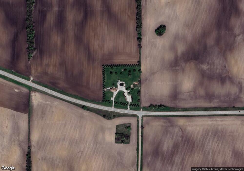
50W066 State Route 38 Maple Park, IL 60151
Estimated Value: $329,000 - $395,000
--
Bed
--
Bath
1,570
Sq Ft
$231/Sq Ft
Est. Value
About This Home
This home is located at 50W066 State Route 38, Maple Park, IL 60151 and is currently estimated at $362,284, approximately $230 per square foot. 50W066 State Route 38 is a home with nearby schools including Kaneland John Stewart Elementary School, Harter Middle School, and Kaneland Senior High School.
Ownership History
Date
Name
Owned For
Owner Type
Purchase Details
Closed on
Jun 12, 2023
Sold by
Thompson Lisa A and Thompson Timothy M
Bought by
Timothy M Thompson And Lisa A Thompson Declar
Current Estimated Value
Purchase Details
Closed on
Mar 18, 1999
Sold by
Thompson Timothy
Bought by
Thompson Timothy and Thompson Lisa A
Create a Home Valuation Report for This Property
The Home Valuation Report is an in-depth analysis detailing your home's value as well as a comparison with similar homes in the area
Home Values in the Area
Average Home Value in this Area
Purchase History
| Date | Buyer | Sale Price | Title Company |
|---|---|---|---|
| Timothy M Thompson And Lisa A Thompson Declar | -- | None Listed On Document | |
| Thompson Timothy | -- | -- |
Source: Public Records
Tax History Compared to Growth
Tax History
| Year | Tax Paid | Tax Assessment Tax Assessment Total Assessment is a certain percentage of the fair market value that is determined by local assessors to be the total taxable value of land and additions on the property. | Land | Improvement |
|---|---|---|---|---|
| 2024 | $9,481 | $125,748 | $58,170 | $67,578 |
| 2023 | $9,376 | $116,768 | $54,016 | $62,752 |
| 2022 | $9,059 | $108,188 | $50,047 | $58,141 |
| 2021 | $8,701 | $102,674 | $47,496 | $55,178 |
| 2020 | $8,346 | $99,040 | $45,815 | $53,225 |
| 2019 | $8,165 | $95,058 | $43,973 | $51,085 |
| 2018 | $7,861 | $89,466 | $41,386 | $48,080 |
| 2017 | $7,580 | $84,323 | $39,007 | $45,316 |
| 2016 | $7,142 | $78,931 | $36,599 | $42,332 |
| 2015 | -- | $72,655 | $34,417 | $38,238 |
| 2014 | -- | $70,539 | $33,415 | $37,124 |
| 2013 | -- | $70,539 | $33,415 | $37,124 |
Source: Public Records
Map
Nearby Homes
- 804 Elm St
- 620 Elm St
- 220 W Ashton Dr
- 325 W Burlington Dr
- 205 Center St
- 115 State St
- 646 W Ashton Dr
- 753 W Ashton Dr
- 748 W Ashton Dr
- 750 W Ashton Dr
- 752 W Ashton Dr
- 754 W Ashton Dr
- Meadowlark Plan at Heritage Hill Estates
- Starling Plan at Heritage Hill Estates
- Siena II Plan at Heritage Hill Estates
- Townsend Plan at Heritage Hill Estates
- Wren Plan at Heritage Hill Estates
- 528 S Joliet St
- 523 S Joliet St
- 239 S Kincaid St
- 38 County Line Rd
- 50W379 State Route 38
- 49w Il Route 38
- 49W420 Il Route 38
- 660 Settlement Dr
- 656 Settlement Dr
- 652 Settlement Dr
- 1N479 Schrader Rd
- 648 Settlement Dr
- 643 Settlement Dr
- 631 Settlement Dr
- 1N416 Schrader Rd
- 508 Walnut Ave
- 502 Walnut Ave
- 644 Settlement Dr
- 506 Walnut Ave
- 640 Settlement Dr
- 649 Settlement Dr
- 636 Settlement Dr
- 504 Walnut Ave