50W450 Keslinger Rd Maple Park, IL 60151
Estimated Value: $476,000 - $713,000
3
Beds
2
Baths
2,029
Sq Ft
$285/Sq Ft
Est. Value
About This Home
This home is located at 50W450 Keslinger Rd, Maple Park, IL 60151 and is currently estimated at $578,726, approximately $285 per square foot. 50W450 Keslinger Rd is a home located in Kane County with nearby schools including Kaneland John Stewart Elementary School, Harter Middle School, and Kaneland Senior High School.
Ownership History
Date
Name
Owned For
Owner Type
Purchase Details
Closed on
Jul 1, 2020
Sold by
Lipuma Paula
Bought by
Krage Kevin and Krage Thea
Current Estimated Value
Home Financials for this Owner
Home Financials are based on the most recent Mortgage that was taken out on this home.
Original Mortgage
$477,000
Interest Rate
4.12%
Mortgage Type
Stand Alone First
Purchase Details
Closed on
Apr 5, 2002
Sold by
Tenggren Christopher A and Tenggren Wendy E
Bought by
Lipuma Paula
Purchase Details
Closed on
Aug 4, 1994
Sold by
Wolfenberger Albert
Bought by
Tenggren Christopher A and Tenggren Wendy E
Home Financials for this Owner
Home Financials are based on the most recent Mortgage that was taken out on this home.
Original Mortgage
$172,000
Interest Rate
8.62%
Create a Home Valuation Report for This Property
The Home Valuation Report is an in-depth analysis detailing your home's value as well as a comparison with similar homes in the area
Home Values in the Area
Average Home Value in this Area
Purchase History
| Date | Buyer | Sale Price | Title Company |
|---|---|---|---|
| Krage Kevin | $530,000 | First American Title | |
| Lipuma Paula | $374,000 | -- | |
| Tenggren Christopher A | $88,000 | Chicago Title Insurance Co |
Source: Public Records
Mortgage History
| Date | Status | Borrower | Loan Amount |
|---|---|---|---|
| Previous Owner | Krage Kevin | $477,000 | |
| Previous Owner | Tenggren Christopher A | $172,000 |
Source: Public Records
Tax History Compared to Growth
Tax History
| Year | Tax Paid | Tax Assessment Tax Assessment Total Assessment is a certain percentage of the fair market value that is determined by local assessors to be the total taxable value of land and additions on the property. | Land | Improvement |
|---|---|---|---|---|
| 2024 | $10,659 | $140,899 | $36,576 | $104,323 |
| 2023 | $10,688 | $132,352 | $34,171 | $98,181 |
| 2022 | $10,310 | $122,805 | $31,576 | $91,229 |
| 2021 | $10,040 | $118,183 | $30,153 | $88,030 |
| 2020 | $8,321 | $114,466 | $28,971 | $85,495 |
| 2019 | $8,473 | $110,397 | $27,737 | $82,660 |
| 2018 | $8,709 | $102,207 | $25,580 | $76,627 |
| 2017 | $9,107 | $95,011 | $23,675 | $71,336 |
| 2016 | $8,882 | $88,142 | $21,869 | $66,273 |
| 2015 | -- | $83,418 | $20,577 | $62,841 |
| 2014 | -- | $83,235 | $20,394 | $62,841 |
| 2013 | -- | $87,618 | $20,993 | $66,625 |
Source: Public Records
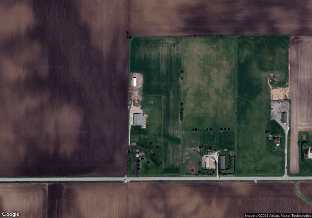
Map
Nearby Homes
- 220 W Ashton Dr
- 325 W Burlington Dr
- 646 W Ashton Dr
- 753 W Ashton Dr
- 748 W Ashton Dr
- 750 W Ashton Dr
- 752 W Ashton Dr
- 754 W Ashton Dr
- 804 Elm St
- 620 Elm St
- Meadowlark Plan at Heritage Hill Estates
- Starling Plan at Heritage Hill Estates
- Siena II Plan at Heritage Hill Estates
- Townsend Plan at Heritage Hill Estates
- Wren Plan at Heritage Hill Estates
- 528 S Joliet St
- 529 S Kincaid St
- 523 S Joliet St
- 239 S Kincaid St
- 205 Center St
- 50W254 Keslinger Rd
- 50W150 Keslinger Rd
- 805 S County Line Rd
- 1n100 Schrader Rd
- 1N180 Schrader Rd
- 1N416 Schrader Rd
- 1n409 County Line Rd
- 1100 E County Line Rd
- 0N460 Schrader Rd
- 1N479 Schrader Rd
- 0N450 Schrader Rd
- 0N531 Schrader Rd
- 49W739 Keslinger Rd
- 15780 Keslinger Rd
- 17520 Keslinger Rd
- 17520 Keslinger Rd
- 17520 Keslinger Rd
- 17520 Keslinger Rd
- 16197 E County Line Rd