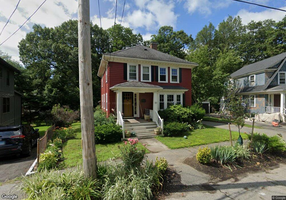
51 Avalon Rd Milton, MA 02186
Columbine Cliffs NeighborhoodEstimated Value: $834,000 - $1,195,000
4
Beds
2
Baths
1,456
Sq Ft
$724/Sq Ft
Est. Value
About This Home
This home is located at 51 Avalon Rd, Milton, MA 02186 and is currently estimated at $1,053,821, approximately $723 per square foot. 51 Avalon Rd is a home located in Norfolk County with nearby schools including Milton High School, Conservatory Lab Upper School, and St. Mary of the Hills School.
Ownership History
Date
Name
Owned For
Owner Type
Purchase Details
Closed on
May 2, 2002
Sold by
Lawless Margaret A
Bought by
Meier Geoffrey P and Meier Sindu M
Current Estimated Value
Home Financials for this Owner
Home Financials are based on the most recent Mortgage that was taken out on this home.
Original Mortgage
$273,350
Outstanding Balance
$117,048
Interest Rate
7.13%
Mortgage Type
Purchase Money Mortgage
Estimated Equity
$936,773
Create a Home Valuation Report for This Property
The Home Valuation Report is an in-depth analysis detailing your home's value as well as a comparison with similar homes in the area
Home Values in the Area
Average Home Value in this Area
Purchase History
| Date | Buyer | Sale Price | Title Company |
|---|---|---|---|
| Meier Geoffrey P | $341,700 | -- |
Source: Public Records
Mortgage History
| Date | Status | Borrower | Loan Amount |
|---|---|---|---|
| Open | Meier Geoffrey P | $273,350 |
Source: Public Records
Tax History
| Year | Tax Paid | Tax Assessment Tax Assessment Total Assessment is a certain percentage of the fair market value that is determined by local assessors to be the total taxable value of land and additions on the property. | Land | Improvement |
|---|---|---|---|---|
| 2025 | $10,336 | $932,000 | $510,900 | $421,100 |
| 2024 | $10,038 | $919,200 | $486,500 | $432,700 |
| 2023 | $9,772 | $857,200 | $463,500 | $393,700 |
| 2022 | $9,598 | $769,700 | $463,500 | $306,200 |
| 2021 | $9,173 | $698,600 | $407,000 | $291,600 |
| 2020 | $8,992 | $685,400 | $399,300 | $286,100 |
| 2019 | $8,773 | $665,600 | $387,700 | $277,900 |
| 2018 | $8,504 | $615,800 | $342,500 | $273,300 |
| 2017 | $7,956 | $586,700 | $326,200 | $260,500 |
| 2016 | $7,848 | $581,300 | $326,200 | $255,100 |
| 2015 | $7,723 | $554,000 | $304,400 | $249,600 |
Source: Public Records
Map
Nearby Homes
- 72 Columbine Rd
- 259 Central Ave
- 44 Allen Cir
- 36 Central Ave Unit 4
- 424 Brook Rd
- 214 Brook Rd
- 260 Canton Ave
- 67 Idaho St
- 32-32R Temple St
- 168 Brook Rd
- 137 Thacher St Unit 137
- 8 Faunce Rd Unit A
- 80 Blue Hills Pkwy
- 1241-1255 Adams St Unit F213
- 1241-1255 Adams St Unit B302
- 23 Maryknoll St
- 1245 Adams St Unit B503
- 8 Violet St
- 16 Blue Hill Ave
- 4 Crossman St Unit 4
Your Personal Tour Guide
Ask me questions while you tour the home.