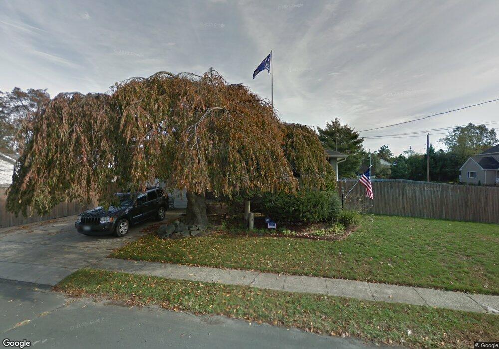
51 Avenue C West Babylon, NY 11704
Estimated Value: $594,841 - $710,000
--
Bed
1
Bath
1,230
Sq Ft
$529/Sq Ft
Est. Value
About This Home
This home is located at 51 Avenue C, West Babylon, NY 11704 and is currently estimated at $650,710, approximately $529 per square foot. 51 Avenue C is a home located in Suffolk County.
Ownership History
Date
Name
Owned For
Owner Type
Purchase Details
Closed on
Oct 29, 2001
Sold by
Barry Richard and Barry Deirdre
Bought by
Mccarthy Keith and Mccarthy Colleen
Current Estimated Value
Home Financials for this Owner
Home Financials are based on the most recent Mortgage that was taken out on this home.
Original Mortgage
$160,000
Outstanding Balance
$62,167
Interest Rate
6.64%
Estimated Equity
$588,543
Purchase Details
Closed on
Jul 14, 2000
Sold by
Cerruti Henry P and Cerruti Kimberly
Bought by
Barry Richard and Barry Deirdre
Home Financials for this Owner
Home Financials are based on the most recent Mortgage that was taken out on this home.
Original Mortgage
$50,000
Interest Rate
7.89%
Create a Home Valuation Report for This Property
The Home Valuation Report is an in-depth analysis detailing your home's value as well as a comparison with similar homes in the area
Home Values in the Area
Average Home Value in this Area
Purchase History
| Date | Buyer | Sale Price | Title Company |
|---|---|---|---|
| Mccarthy Keith | $230,000 | First American Title | |
| Barry Richard | $200,500 | -- |
Source: Public Records
Mortgage History
| Date | Status | Borrower | Loan Amount |
|---|---|---|---|
| Open | Mccarthy Keith | $160,000 | |
| Previous Owner | Barry Richard | $50,000 |
Source: Public Records
Tax History Compared to Growth
Tax History
| Year | Tax Paid | Tax Assessment Tax Assessment Total Assessment is a certain percentage of the fair market value that is determined by local assessors to be the total taxable value of land and additions on the property. | Land | Improvement |
|---|---|---|---|---|
| 2024 | $11,982 | $3,520 | $300 | $3,220 |
| 2023 | $11,982 | $3,520 | $300 | $3,220 |
| 2022 | $10,062 | $3,520 | $300 | $3,220 |
| 2021 | $10,062 | $3,520 | $300 | $3,220 |
| 2020 | $10,467 | $3,520 | $300 | $3,220 |
| 2019 | $10,467 | $0 | $0 | $0 |
| 2018 | $9,969 | $3,520 | $300 | $3,220 |
| 2017 | $9,969 | $3,520 | $300 | $3,220 |
| 2016 | $9,952 | $3,520 | $300 | $3,220 |
| 2015 | -- | $3,520 | $300 | $3,220 |
| 2014 | -- | $3,520 | $300 | $3,220 |
Source: Public Records
Map
Nearby Homes
- 792 Glendale Rd
- 404 N Putnam Ave
- 323 Grand Ave
- 825 Weber Ave
- 436 N Ontario Ave
- 475 N Putnam Ave
- 248 Arnold Ave
- 1 Puritan Place
- 842 Brook St
- 417 N Monroe Ave
- 457 N Monroe Ave
- 465 N Monroe Ave
- 34 Karen St
- 16 Della Dr
- 669 East Dr
- 166 & 170 Woodrow Pkwy
- 557 N Kings Ave
- 6 Glenda Dr
- 115 Old Farmingdale Rd
- 468 N Greene Ave
- 797 Carlton Rd
- 804 Densfield Rd
- 813 Carlton Rd
- 800 Densfield Rd
- 808 Carlton Rd
- 60 Avenue C
- 794 Densfield Rd
- 800 Carlton Rd
- 44 Avenue C
- 825 Carlton Rd
- 41 Avenue C
- 785 Carlton Rd
- 822 Densfield Rd
- 788 Densfield Rd
- 822 Carlton Rd
- 805 Densfield Rd
- 799 Densfield Rd
- 778 Carlton Rd
- 805 Bermuda Rd
- 827 Carlton Rd