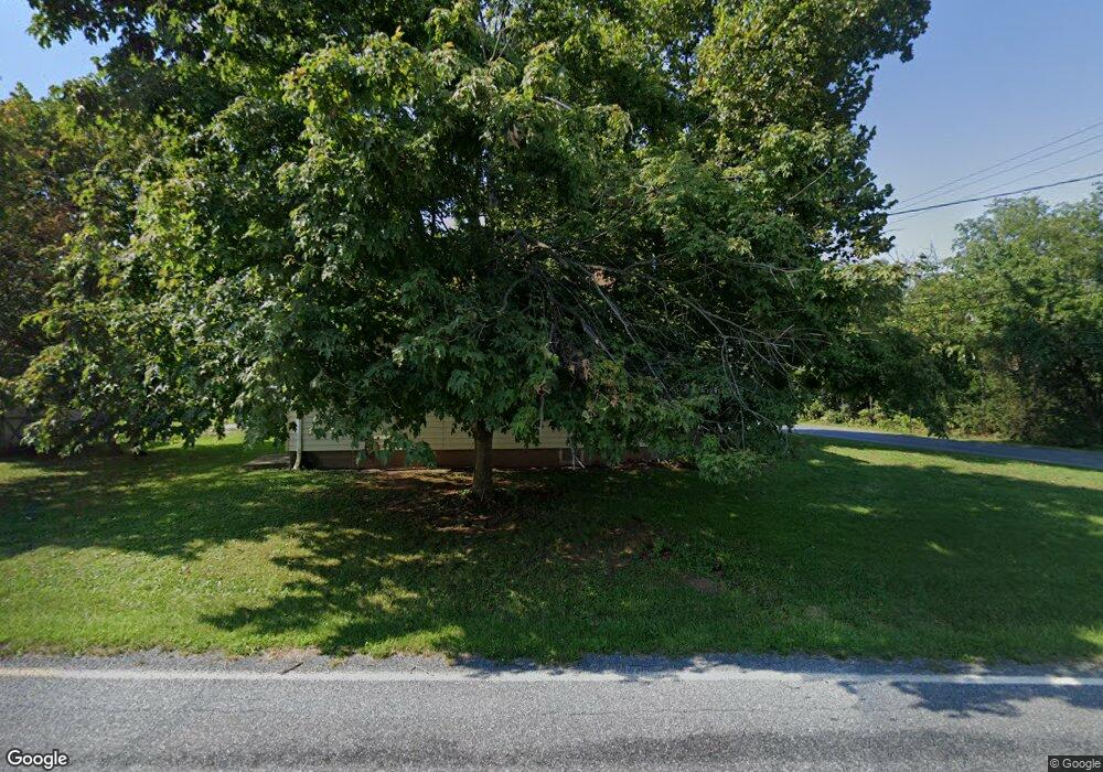
51 Awol Rd Jonestown, PA 17038
Estimated Value: $166,000 - $232,316
3
Beds
1
Bath
1,050
Sq Ft
$197/Sq Ft
Est. Value
About This Home
This home is located at 51 Awol Rd, Jonestown, PA 17038 and is currently estimated at $206,329, approximately $196 per square foot. 51 Awol Rd is a home located in Lebanon County with nearby schools including Northern Lebanon Senior High School, Blue Mountain Christian School, and Blue Mountain Christian Day School.
Ownership History
Date
Name
Owned For
Owner Type
Purchase Details
Closed on
May 7, 2010
Sold by
Seiple Christopher D
Bought by
Klinger Steven A and Klinger Holly J
Current Estimated Value
Home Financials for this Owner
Home Financials are based on the most recent Mortgage that was taken out on this home.
Original Mortgage
$4,350
Outstanding Balance
$2,913
Interest Rate
5.03%
Mortgage Type
FHA
Estimated Equity
$203,416
Purchase Details
Closed on
Feb 25, 2005
Sold by
Church Abner and Church Catherine
Bought by
Seiple Christopher D
Home Financials for this Owner
Home Financials are based on the most recent Mortgage that was taken out on this home.
Original Mortgage
$17,000
Interest Rate
5.66%
Mortgage Type
Stand Alone Second
Create a Home Valuation Report for This Property
The Home Valuation Report is an in-depth analysis detailing your home's value as well as a comparison with similar homes in the area
Home Values in the Area
Average Home Value in this Area
Purchase History
| Date | Buyer | Sale Price | Title Company |
|---|---|---|---|
| Klinger Steven A | $123,000 | None Available | |
| Seiple Christopher D | $85,000 | None Available |
Source: Public Records
Mortgage History
| Date | Status | Borrower | Loan Amount |
|---|---|---|---|
| Open | Klinger Steven A | $4,350 | |
| Previous Owner | Seiple Christopher D | $17,000 | |
| Previous Owner | Seiple Christopher D | $68,000 |
Source: Public Records
Tax History Compared to Growth
Tax History
| Year | Tax Paid | Tax Assessment Tax Assessment Total Assessment is a certain percentage of the fair market value that is determined by local assessors to be the total taxable value of land and additions on the property. | Land | Improvement |
|---|---|---|---|---|
| 2025 | $2,775 | $126,300 | $51,600 | $74,700 |
| 2024 | $2,452 | $126,300 | $51,600 | $74,700 |
| 2023 | $2,452 | $126,300 | $51,600 | $74,700 |
| 2022 | $2,372 | $126,300 | $51,600 | $74,700 |
| 2021 | $2,229 | $126,300 | $51,600 | $74,700 |
| 2020 | $2,185 | $126,300 | $51,600 | $74,700 |
| 2019 | $2,151 | $126,300 | $51,600 | $74,700 |
| 2018 | $2,102 | $126,300 | $51,600 | $74,700 |
| 2017 | $453 | $126,300 | $51,600 | $74,700 |
| 2016 | $2,039 | $126,300 | $51,600 | $74,700 |
| 2015 | -- | $126,300 | $51,600 | $74,700 |
| 2014 | -- | $126,300 | $51,600 | $74,700 |
Source: Public Records
Map
Nearby Homes
- 60 Bordnersville Rd
- 2963 Pennsylvania 72
- Lot #49 Ss Shepherd St
- 507 Shepherd St
- 19 Racehorse Dr
- 472 S Lancaster St Unit 8
- 8 Spruce Ln
- 2303 Quarry Rd
- 22 Wildflower Cir
- 2255 Quarry Rd
- 2301 Quarry Rd
- 2103 Thompson Ave
- 0 Darkes Rd Unit PALN2019172
- 0 Fisher Ave
- 11 Wolfe Dr
- 3204 State Route 72
- 1735 Quarry Rd
- 1899 State Route 72 N
- 230 Monroe Valley Dr
- 2005 Yordys Bridge Rd