51 Bagnell Dr Pembroke, MA 02359
Estimated Value: $614,000 - $682,000
2
Beds
3
Baths
1,920
Sq Ft
$330/Sq Ft
Est. Value
About This Home
This home is located at 51 Bagnell Dr, Pembroke, MA 02359 and is currently estimated at $634,256, approximately $330 per square foot. 51 Bagnell Dr is a home located in Plymouth County with nearby schools including Pembroke High School, Cadence Academy Preschool - Hanover, and Cardinal Cushing Centers.
Ownership History
Date
Name
Owned For
Owner Type
Purchase Details
Closed on
Feb 17, 2022
Sold by
Richards Joan E
Bought by
Joan Richards Ft
Current Estimated Value
Purchase Details
Closed on
Oct 11, 2002
Sold by
Mccabe James R
Bought by
Richards Joan E
Home Financials for this Owner
Home Financials are based on the most recent Mortgage that was taken out on this home.
Original Mortgage
$80,000
Interest Rate
6.24%
Mortgage Type
Purchase Money Mortgage
Create a Home Valuation Report for This Property
The Home Valuation Report is an in-depth analysis detailing your home's value as well as a comparison with similar homes in the area
Home Values in the Area
Average Home Value in this Area
Purchase History
| Date | Buyer | Sale Price | Title Company |
|---|---|---|---|
| Joan Richards Ft | -- | None Available | |
| Richards Joan E | $319,900 | -- |
Source: Public Records
Mortgage History
| Date | Status | Borrower | Loan Amount |
|---|---|---|---|
| Previous Owner | Richards Joan E | $67,000 | |
| Previous Owner | Richards Joan E | $80,000 |
Source: Public Records
Tax History Compared to Growth
Tax History
| Year | Tax Paid | Tax Assessment Tax Assessment Total Assessment is a certain percentage of the fair market value that is determined by local assessors to be the total taxable value of land and additions on the property. | Land | Improvement |
|---|---|---|---|---|
| 2025 | $6,481 | $539,200 | $0 | $539,200 |
| 2024 | $5,920 | $492,100 | $0 | $492,100 |
| 2023 | $5,930 | $466,200 | $0 | $466,200 |
| 2022 | $5,878 | $415,400 | $0 | $415,400 |
| 2021 | $5,774 | $396,000 | $0 | $396,000 |
| 2020 | $5,408 | $373,200 | $0 | $373,200 |
| 2019 | $5,243 | $359,100 | $0 | $359,100 |
| 2018 | $5,052 | $339,300 | $0 | $339,300 |
| 2017 | $4,636 | $307,000 | $0 | $307,000 |
| 2016 | $4,225 | $276,900 | $0 | $276,900 |
| 2015 | $3,905 | $264,900 | $0 | $264,900 |
Source: Public Records
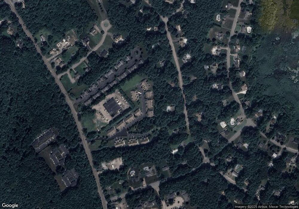
Map
Nearby Homes
- 599 Washington St Unit 14
- 40 Brisan Way
- 330 Pleasant St
- 100 Fairwood Dr
- 33 Barker Square Dr Unit 33
- 30 Old Washington St Unit 9
- 99 Old Washington St
- 261 Washington St
- 290 High St
- 172 Washington St
- 77 Old Cart Path Ln Unit Lot 4
- 78 Old Cart Path Ln Unit Lot 3
- 72 Old Cart Path Ln Unit Lot 2
- 218 Schoosett St
- 387 North St
- 204 Center St Unit 9
- 249 High St
- 55 Shipyard Ln
- 29 Liberty Dr Unit 29
- 53 Grove St
- 49 Bagnell Dr
- 53 Bagnell Dr
- 49 Bagnell Dr Unit 34
- 43 Bagnell Dr Unit 24
- 43 Bagnell Dr
- 45 Bagnell Dr
- 40 Bagnell Dr
- 38 Bagnell Dr
- 38 Bagnell Dr Unit 38
- 60 Bagnell Dr
- 58 Bagnell Dr
- 56 Bagnell Dr
- 58 Bagnell Dr Unit 13-5
- 60 Bagnell Dr Unit 14
- 56 Bagnell Dr Unit 56
- 56 Bagnell Dr Unit 12
- 61 Bagnell Dr
- 63 Bagnell Dr
- 65 Bagnell Dr
- 32 Bagnell Dr