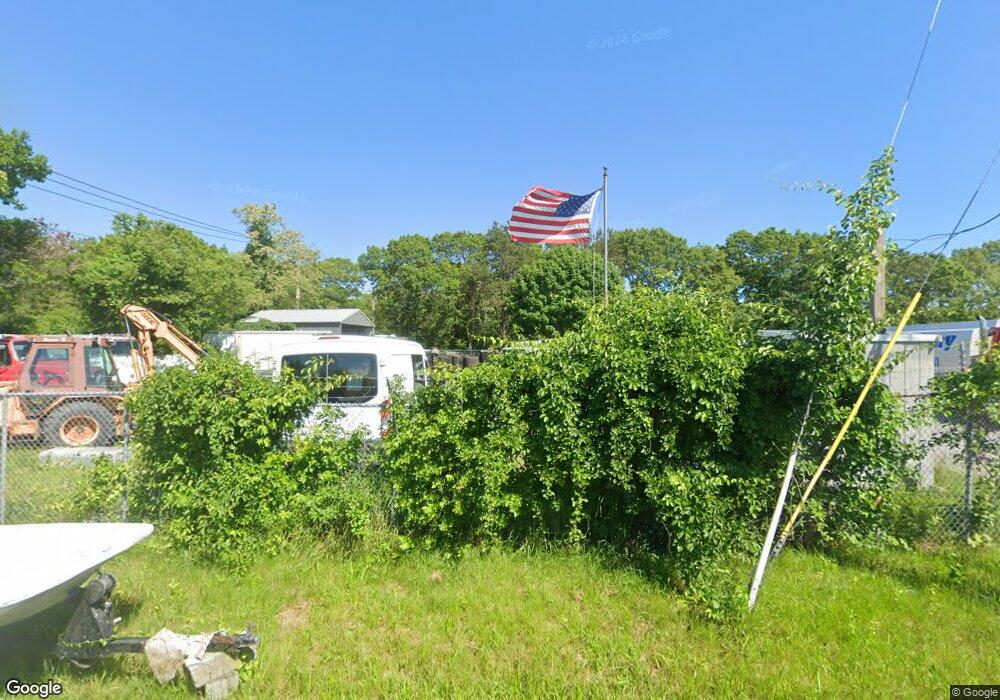
51 Brooks Rd Hyannis, MA 2601
Estimated Value: $387,857
--
Bed
--
Bath
--
Sq Ft
0.45
Acres
About This Home
This home is located at 51 Brooks Rd, Hyannis, MA 2601 and is currently estimated at $387,857. 51 Brooks Rd is a home located in Barnstable County with nearby schools including Hyannis West Elementary School, Barnstable United Elementary School, and Barnstable Intermediate School.
Ownership History
Date
Name
Owned For
Owner Type
Purchase Details
Closed on
Feb 10, 2006
Sold by
H & B Petroleum Inc
Bought by
New Colony Home Heati
Current Estimated Value
Home Financials for this Owner
Home Financials are based on the most recent Mortgage that was taken out on this home.
Original Mortgage
$175,000
Outstanding Balance
$98,926
Interest Rate
6.27%
Mortgage Type
Commercial
Estimated Equity
$288,931
Create a Home Valuation Report for This Property
The Home Valuation Report is an in-depth analysis detailing your home's value as well as a comparison with similar homes in the area
Home Values in the Area
Average Home Value in this Area
Purchase History
| Date | Buyer | Sale Price | Title Company |
|---|---|---|---|
| New Colony Home Heati | $200,000 | -- |
Source: Public Records
Mortgage History
| Date | Status | Borrower | Loan Amount |
|---|---|---|---|
| Open | New Colony Home Heati | $175,000 |
Source: Public Records
Tax History Compared to Growth
Tax History
| Year | Tax Paid | Tax Assessment Tax Assessment Total Assessment is a certain percentage of the fair market value that is determined by local assessors to be the total taxable value of land and additions on the property. | Land | Improvement |
|---|---|---|---|---|
| 2025 | $1,419 | $144,400 | $144,400 | $0 |
| 2024 | $1,408 | $144,400 | $144,400 | $0 |
| 2023 | $1,518 | $144,400 | $144,400 | $0 |
| 2022 | $2,054 | $160,500 | $160,500 | $0 |
| 2021 | $2,054 | $160,500 | $160,500 | $0 |
| 2020 | $1,842 | $140,000 | $140,000 | $0 |
| 2019 | $1,890 | $140,000 | $140,000 | $0 |
| 2018 | $1,820 | $140,000 | $140,000 | $0 |
| 2017 | $1,761 | $140,000 | $140,000 | $0 |
| 2016 | $1,719 | $140,000 | $140,000 | $0 |
| 2015 | $1,614 | $134,500 | $134,500 | $0 |
Source: Public Records
Map
Nearby Homes
- 22 Terry Ct
- 16 Iyannough Rd
- 121 Camp St Unit 128
- 83 Main St
- 321 Winter St
- 49 Center St
- 12 Walnut St
- 35 Pleasant St
- 72 Grove St
- 115 School St Unit W206
- 110 School St Unit E113
- 23 Baxter Ave
- 65 Louis St Unit A
- 213 Hinckley Rd
- 297 Compass Cir
- 61 Coolidge Rd
- 178 Walnut St
- 248 Camp St Unit M5
- 107 Channel Point Rd
- 28 Bumpus Rd
- 65 Brooks Rd
- 45 Brooks Rd
- 45 Brooks Rd
- 60 Brooks Rd
- 62 Brooks Rd
- 301 Yarmouth Rd
- 279 Yarmouth Rd
- 28 Estella Rd
- 33 Brooks Rd
- 300 Yarmouth Rd
- 322 Yarmouth Rd
- 247 Yarmouth Rd
- 94 Mary Dunn Way
- 23 Brooks Rd
- 326 Yarmouth Rd
- 65 Old Yarmouth Rd
- 231 Yarmouth Rd
- 344 Yarmouth Rd
- 77 Old Yarmouth Rd
- 79 Old Yarmouth Rd