51 Brookside Ln Foster, WV 25081
Estimated Value: $256,000 - $419,460
3
Beds
2
Baths
2,885
Sq Ft
$122/Sq Ft
Est. Value
About This Home
This home is located at 51 Brookside Ln, Foster, WV 25081 and is currently estimated at $351,820, approximately $121 per square foot. 51 Brookside Ln is a home.
Ownership History
Date
Name
Owned For
Owner Type
Purchase Details
Closed on
Nov 14, 2023
Sold by
Huntington Hospital Group Inc
Bought by
Karecube Technologies Llc
Current Estimated Value
Purchase Details
Closed on
Dec 21, 2022
Sold by
Barker Jackaline S
Bought by
Huntington Hospitalist Group Inc
Purchase Details
Closed on
Mar 16, 2009
Sold by
Barker Jackaline S
Bought by
Barker Jackaline S
Home Financials for this Owner
Home Financials are based on the most recent Mortgage that was taken out on this home.
Original Mortgage
$124,000
Interest Rate
5.14%
Mortgage Type
Purchase Money Mortgage
Create a Home Valuation Report for This Property
The Home Valuation Report is an in-depth analysis detailing your home's value as well as a comparison with similar homes in the area
Purchase History
| Date | Buyer | Sale Price | Title Company |
|---|---|---|---|
| Karecube Technologies Llc | -- | None Listed On Document | |
| Karecube Technologies Llc | -- | None Listed On Document | |
| Huntington Hospitalist Group Inc | $450,000 | -- | |
| Huntington Hospitalist Group Inc | $450,000 | None Listed On Document | |
| Barker Jackaline S | -- | -- |
Source: Public Records
Mortgage History
| Date | Status | Borrower | Loan Amount |
|---|---|---|---|
| Previous Owner | Barker Jackaline S | $124,000 |
Source: Public Records
Tax History
| Year | Tax Paid | Tax Assessment Tax Assessment Total Assessment is a certain percentage of the fair market value that is determined by local assessors to be the total taxable value of land and additions on the property. | Land | Improvement |
|---|---|---|---|---|
| 2025 | $2,400 | $191,640 | $18,900 | $172,740 |
| 2024 | $2,400 | $194,160 | $18,900 | $175,260 |
| 2023 | $2,406 | $179,580 | $17,520 | $162,060 |
| 2022 | $2,119 | $167,220 | $16,260 | $150,960 |
| 2021 | $2,022 | $159,840 | $16,260 | $143,580 |
| 2020 | $2,051 | $161,880 | $16,260 | $145,620 |
| 2019 | $2,051 | $161,880 | $16,260 | $145,620 |
| 2018 | $2,104 | $166,080 | $16,260 | $149,820 |
| 2017 | $1,954 | $154,260 | $16,260 | $138,000 |
| 2016 | $1,954 | $154,260 | $16,260 | $138,000 |
| 2015 | $1,805 | $142,500 | $16,260 | $126,240 |
| 2014 | $1,724 | $136,080 | $16,260 | $119,820 |
Source: Public Records
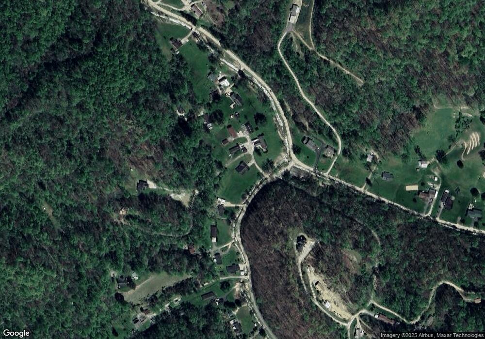
Map
Nearby Homes
- 140 Baron St
- 9354 Daniel Boone Pkwy
- 5712 Daniel Boone Pkwy
- 3631 Daniel Boone Pkwy
- 872 Country Estates Rd
- 103 Chestnut Dr
- 265 Osborne Ave
- 109 Josephine Ave
- 311 Reservoir Rd
- 114 Washington St
- 690 Hopkins Ave
- 30 Palmer Place
- tbd Mountaineer Dr
- 474 3rd St
- 225 Smarr Ct
- 1136 Pond Fork Rd
- 40 Hickory Ln
- 15 Woodland Dr
- 20 Cedar Ln
- 335 Woodland Dr
- 78 Brookside Ln
- 121 Brookside Ln
- 132 Brookside Ln
- 1652 Foster Rd
- 7 Rock Creek Rd
- 7 Rock Creek Rd
- 7 Rock Creek Rd
- 7 Rock Creek Rd
- 7 Rock Creek Rd
- 7 Rock Creek Rd
- 7 Rock Creek Rd
- 7 Rock Creek Rd
- 166 Roberts Ln
- 1216 Foster Rd
- 1214 Foster Rd
- 1730 Foster Rd
- 1708 Foster Rd
- 1772 Foster Rd
- 1752 Foster Rd
- 189 Emma Ln
Your Personal Tour Guide
Ask me questions while you tour the home.