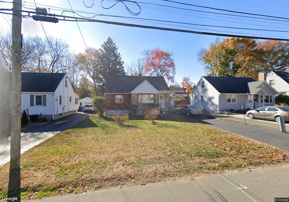
51 Carroll St New Britain, CT 06053
Estimated Value: $225,000 - $329,000
3
Beds
2
Baths
1,481
Sq Ft
$197/Sq Ft
Est. Value
About This Home
This home is located at 51 Carroll St, New Britain, CT 06053 and is currently estimated at $291,110, approximately $196 per square foot. 51 Carroll St is a home located in Hartford County with nearby schools including Holmes School, Pulaski Middle School, and Mountain Laurel Sudbury School.
Ownership History
Date
Name
Owned For
Owner Type
Purchase Details
Closed on
Dec 29, 1998
Sold by
Zack Audrey G and Zack Raymond J
Bought by
Onhuandy Chansouk and Onhuandy Khanthiane
Current Estimated Value
Home Financials for this Owner
Home Financials are based on the most recent Mortgage that was taken out on this home.
Original Mortgage
$65,900
Outstanding Balance
$18,953
Interest Rate
6.89%
Estimated Equity
$272,157
Create a Home Valuation Report for This Property
The Home Valuation Report is an in-depth analysis detailing your home's value as well as a comparison with similar homes in the area
Home Values in the Area
Average Home Value in this Area
Purchase History
| Date | Buyer | Sale Price | Title Company |
|---|---|---|---|
| Onhuandy Chansouk | $72,000 | -- |
Source: Public Records
Mortgage History
| Date | Status | Borrower | Loan Amount |
|---|---|---|---|
| Open | Onhuandy Chansouk | $65,900 |
Source: Public Records
Tax History Compared to Growth
Tax History
| Year | Tax Paid | Tax Assessment Tax Assessment Total Assessment is a certain percentage of the fair market value that is determined by local assessors to be the total taxable value of land and additions on the property. | Land | Improvement |
|---|---|---|---|---|
| 2025 | $6,330 | $161,560 | $57,260 | $104,300 |
| 2024 | $6,396 | $161,560 | $57,260 | $104,300 |
| 2023 | $6,185 | $161,560 | $57,260 | $104,300 |
| 2022 | $5,409 | $109,270 | $26,390 | $82,880 |
| 2021 | $5,409 | $109,270 | $26,390 | $82,880 |
| 2020 | $5,518 | $109,270 | $26,390 | $82,880 |
| 2019 | $5,518 | $109,270 | $26,390 | $82,880 |
| 2018 | $5,518 | $109,270 | $26,390 | $82,880 |
| 2017 | $5,119 | $101,360 | $24,080 | $77,280 |
| 2016 | $5,119 | $101,360 | $24,080 | $77,280 |
| 2015 | $4,967 | $101,360 | $24,080 | $77,280 |
| 2014 | $4,967 | $101,360 | $24,080 | $77,280 |
Source: Public Records
Map
Nearby Homes
- 83 Kim Dr
- 67 Eastwick Rd
- 394 Mcclintock St
- 34 Hutchinson St
- 410 Farmington Ave Unit O6
- 59 Heather Ln
- 148 Governor St
- 258 Eddy Glover Blvd
- 108 Commonwealth Ave
- 152 Oakland Ave
- 234 Pierremount Ave
- 34 Oneida St
- 187 Miriam Rd
- 910 Farmington Ave
- 95 Pierremount Ave
- 335 Commonwealth Ave
- 57 Merigold Dr
- 154 Allen St
- 55 Allen St
- 107 Allen St