51 Cedar Rd Weston, MA 02493
Estimated Value: $4,145,000 - $6,335,000
4
Beds
3
Baths
5,240
Sq Ft
$964/Sq Ft
Est. Value
About This Home
This home is located at 51 Cedar Rd, Weston, MA 02493 and is currently estimated at $5,050,852, approximately $963 per square foot. 51 Cedar Rd is a home located in Middlesex County with nearby schools including Country Elementary School, Woodland Elementary School, and Weston Middle School.
Ownership History
Date
Name
Owned For
Owner Type
Purchase Details
Closed on
Oct 5, 2021
Sold by
Sullivan Paul R and Atwood-Sullivan Doris
Bought by
Graham-Robinson David
Current Estimated Value
Home Financials for this Owner
Home Financials are based on the most recent Mortgage that was taken out on this home.
Original Mortgage
$1,979,780
Outstanding Balance
$1,800,875
Interest Rate
2.63%
Mortgage Type
Purchase Money Mortgage
Estimated Equity
$3,249,977
Purchase Details
Closed on
Jun 29, 1984
Bought by
Sullivan Paul R
Create a Home Valuation Report for This Property
The Home Valuation Report is an in-depth analysis detailing your home's value as well as a comparison with similar homes in the area
Home Values in the Area
Average Home Value in this Area
Purchase History
| Date | Buyer | Sale Price | Title Company |
|---|---|---|---|
| Graham-Robinson David | $2,200,000 | None Available | |
| Sullivan Paul R | $531,000 | -- |
Source: Public Records
Mortgage History
| Date | Status | Borrower | Loan Amount |
|---|---|---|---|
| Open | Graham-Robinson David | $1,979,780 | |
| Previous Owner | Sullivan Paul R | $193,964 |
Source: Public Records
Tax History Compared to Growth
Tax History
| Year | Tax Paid | Tax Assessment Tax Assessment Total Assessment is a certain percentage of the fair market value that is determined by local assessors to be the total taxable value of land and additions on the property. | Land | Improvement |
|---|---|---|---|---|
| 2025 | $58,768 | $5,294,400 | $1,864,700 | $3,429,700 |
| 2024 | $57,433 | $5,164,800 | $1,864,700 | $3,300,100 |
| 2023 | $24,231 | $2,046,500 | $1,864,700 | $181,800 |
| 2022 | $20,800 | $1,623,700 | $1,206,900 | $416,800 |
| 2021 | $19,044 | $1,467,200 | $1,151,700 | $315,500 |
| 2020 | $18,963 | $1,478,000 | $1,151,700 | $326,300 |
| 2019 | $18,638 | $1,480,400 | $1,151,700 | $328,700 |
| 2018 | $18,589 | $1,485,900 | $1,151,700 | $334,200 |
| 2017 | $18,606 | $1,500,500 | $1,151,700 | $348,800 |
| 2016 | $18,312 | $1,505,900 | $1,151,700 | $354,200 |
| 2015 | $17,752 | $1,445,600 | $1,096,500 | $349,100 |
Source: Public Records
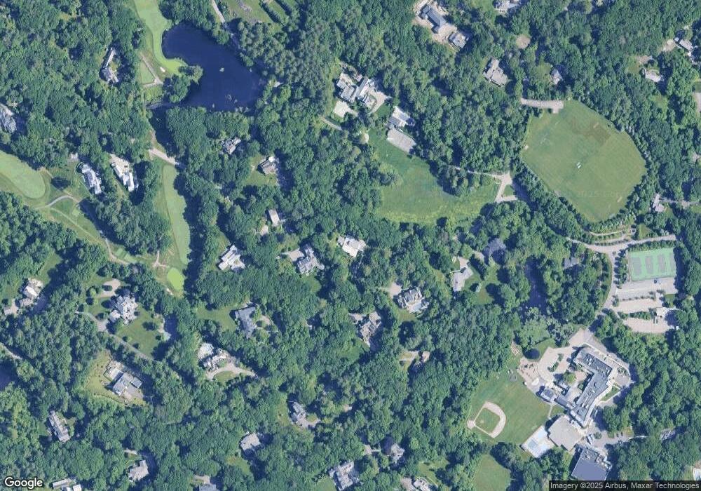
Map
Nearby Homes
- 4 Willow Rd
- 217 Summer St
- 60 Possum Rd
- 103 Loring Rd
- 60 Rolling Ln
- 49 Newton St
- 154 Newton St
- 707 South St
- 9 Atlas Ln
- 226 Ash St
- 180 Ash St
- 41 Orchard Ave
- 3 Idlewile Ln
- 2202 Commonwealth Ave Unit 2
- 2202 Commonwealth Ave Unit 1
- 51 Church St
- 2 Candleberry Ln
- 23 Stonecroft Cir
- 49 Staniford St
- 283 Melrose St
- 141 Meadowbrook Rd
- 143 Meadowbrook Rd
- 46 Cedar Rd
- 121 Meadowbrook Rd
- 149 Meadowbrook Rd
- 150 Meadowbrook Rd
- 38 Cedar Rd
- 140 Meadowbrook Rd
- 2 Willow Rd
- 115 Meadowbrook Rd
- 5 Willow Rd
- 30 Cedar Rd
- 31 Farm Rd
- 116 Meadowbrook Rd
- 1 Green Ln
- 105 Meadowbrook Rd
- 4 Robin Rd
- 20 Green Ln
- 12 Robin Rd
- 174 Meadowbrook Rd