51 Centre Pike Eastford, CT 06242
Estimated Value: $283,000 - $488,000
4
Beds
1
Bath
3,202
Sq Ft
$116/Sq Ft
Est. Value
About This Home
This home is located at 51 Centre Pike, Eastford, CT 06242 and is currently estimated at $369,915, approximately $115 per square foot. 51 Centre Pike is a home located in Windham County with nearby schools including Eastford Elementary School.
Ownership History
Date
Name
Owned For
Owner Type
Purchase Details
Closed on
Oct 25, 2017
Sold by
Goodhall Albert L and Tyler Ann G
Bought by
Goodhall Mark E
Current Estimated Value
Home Financials for this Owner
Home Financials are based on the most recent Mortgage that was taken out on this home.
Original Mortgage
$54,157
Outstanding Balance
$45,297
Interest Rate
3.78%
Mortgage Type
New Conventional
Estimated Equity
$324,618
Purchase Details
Closed on
Jul 5, 2017
Sold by
Phelan Nancy and Roberts David
Bought by
Tiemann M Laura and Goodhall Timothy G
Purchase Details
Closed on
Jan 12, 2016
Sold by
Ann G Tyler Jr Ret
Bought by
Goodhall Albert L
Purchase Details
Closed on
Jun 10, 2014
Sold by
Pallanck Anna M Est
Bought by
51 Center Pike Rt
Create a Home Valuation Report for This Property
The Home Valuation Report is an in-depth analysis detailing your home's value as well as a comparison with similar homes in the area
Home Values in the Area
Average Home Value in this Area
Purchase History
| Date | Buyer | Sale Price | Title Company |
|---|---|---|---|
| Goodhall Mark E | $150,000 | -- | |
| Tiemann M Laura | -- | -- | |
| Goodhall Albert L | -- | -- | |
| 51 Center Pike Rt | -- | -- |
Source: Public Records
Mortgage History
| Date | Status | Borrower | Loan Amount |
|---|---|---|---|
| Open | Goodhall Mark E | $54,157 |
Source: Public Records
Tax History Compared to Growth
Tax History
| Year | Tax Paid | Tax Assessment Tax Assessment Total Assessment is a certain percentage of the fair market value that is determined by local assessors to be the total taxable value of land and additions on the property. | Land | Improvement |
|---|---|---|---|---|
| 2025 | $3,906 | $184,240 | $36,960 | $147,280 |
| 2024 | $3,630 | $184,240 | $36,960 | $147,280 |
| 2023 | $4,116 | $149,670 | $33,610 | $116,060 |
| 2022 | $3,929 | $149,670 | $33,610 | $116,060 |
| 2021 | $3,891 | $149,670 | $33,610 | $116,060 |
| 2020 | $3,833 | $149,670 | $33,610 | $116,060 |
| 2019 | $3,833 | $149,670 | $33,610 | $116,060 |
| 2018 | $3,870 | $148,230 | $29,650 | $118,580 |
| 2017 | $3,870 | $148,230 | $29,650 | $118,580 |
| 2016 | $3,722 | $148,230 | $29,650 | $118,580 |
| 2015 | $3,722 | $148,230 | $29,650 | $118,580 |
| 2014 | $3,676 | $148,230 | $29,650 | $118,580 |
Source: Public Records
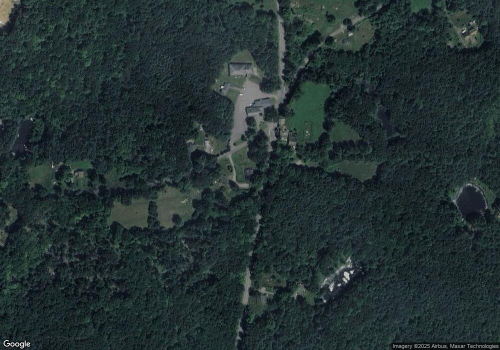
Map
Nearby Homes
- 381 Bungay Hill Rd
- 29 Crooked Trail Extension
- 60 Indian Spring Rd
- 8 Nahaco Hill Ln
- 19 Hiawatha Heights
- 23 Little Bungee Hill Rd
- 0 Hemlock Dr
- 1820 Route 197
- Lot 0 Kozey Rd
- 30 Lyon Rd
- 0 Rr 197 Rd
- 5 Nahaco Hill Ln
- 70 Laurel Hill Dr
- 56 Laurel Hill Dr
- 10 Laurel Hill Dr
- 80 Bungay Hill Rd
- 4 Perrin Rd
- 145 Perrin Rd
- Lot 4A Weeks Rd
- 0 Aplin Hill Ln