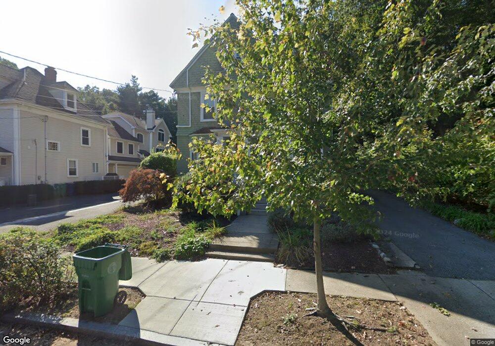
51 Circuit Ave Unit 53 Newton Highlands, MA 02461
Newton Upper Falls NeighborhoodEstimated Value: $482,973 - $789,000
1
Bed
1
Bath
821
Sq Ft
$737/Sq Ft
Est. Value
About This Home
This home is located at 51 Circuit Ave Unit 53, Newton Highlands, MA 02461 and is currently estimated at $604,743, approximately $736 per square foot. 51 Circuit Ave Unit 53 is a home located in Middlesex County with nearby schools including Zervas Elementary School, Angier Elementary School, and Charles E Brown Middle School.
Ownership History
Date
Name
Owned For
Owner Type
Purchase Details
Closed on
Dec 9, 2022
Sold by
Mcsmith Wanda M
Bought by
51 A Circuit Avenue Rt
Current Estimated Value
Purchase Details
Closed on
Jan 31, 2005
Sold by
Prabhak Ghai Neeraj G and Prabhak Ghai Supriya
Bought by
Mcsmith Wanda M
Home Financials for this Owner
Home Financials are based on the most recent Mortgage that was taken out on this home.
Original Mortgage
$233,600
Interest Rate
5.67%
Mortgage Type
Purchase Money Mortgage
Purchase Details
Closed on
Feb 23, 2004
Sold by
Ghai Supriya Prabhak and Prabhakar Supriya
Bought by
Prabhak Ghai Neeraj G and Prabhak Ghai Supriya
Create a Home Valuation Report for This Property
The Home Valuation Report is an in-depth analysis detailing your home's value as well as a comparison with similar homes in the area
Home Values in the Area
Average Home Value in this Area
Purchase History
| Date | Buyer | Sale Price | Title Company |
|---|---|---|---|
| 51 A Circuit Avenue Rt | -- | None Available | |
| Mcsmith Wanda M | $292,000 | -- | |
| Prabhak Ghai Neeraj G | -- | -- |
Source: Public Records
Mortgage History
| Date | Status | Borrower | Loan Amount |
|---|---|---|---|
| Previous Owner | Mcsmith Wanda M | $233,600 |
Source: Public Records
Tax History Compared to Growth
Tax History
| Year | Tax Paid | Tax Assessment Tax Assessment Total Assessment is a certain percentage of the fair market value that is determined by local assessors to be the total taxable value of land and additions on the property. | Land | Improvement |
|---|---|---|---|---|
| 2025 | $4,026 | $410,800 | $0 | $410,800 |
| 2024 | $3,892 | $398,800 | $0 | $398,800 |
| 2023 | $3,810 | $374,300 | $0 | $374,300 |
| 2022 | $3,750 | $356,500 | $0 | $356,500 |
| 2021 | $3,619 | $336,300 | $0 | $336,300 |
| 2020 | $3,511 | $336,300 | $0 | $336,300 |
| 2019 | $3,412 | $326,500 | $0 | $326,500 |
| 2018 | $3,489 | $322,500 | $0 | $322,500 |
| 2017 | $3,383 | $304,200 | $0 | $304,200 |
| 2016 | $3,235 | $284,300 | $0 | $284,300 |
| 2015 | $3,144 | $270,800 | $0 | $270,800 |
Source: Public Records
Map
Nearby Homes
- 1077 Boylston St
- 102 Thurston Rd Unit 100
- 103 Thurston Rd
- 3 Glenmore Terrace Unit 2
- 51 Pettee St Unit 11
- 66 Linden St
- 20 Pennsylvania Ave
- 20 Pennsylvania Ave Unit 20
- 18-20 Pennsylvania Ave Unit 18
- 27 Indiana Terrace Unit 29
- 120 Stanley Rd
- 992 Chestnut St
- 1003 Chestnut St
- 131 Oliver Rd
- 54 Indiana Terrace
- 183 Oak St Unit 307
- 183 Oak St Unit 404
- 183 Oak St Unit 205
- 193 Oak St Unit 403
- 128 Charlemont St
- 51 Circuit Ave Unit 53
- 51 Circuit Ave Unit 51A
- 51 Circuit Ave Unit B
- 51 Circuit Ave
- 55 Circuit Ave Unit 2,1
- 57 Circuit Ave Unit 2
- 57 Circuit Ave Unit 1
- 57 Circuit Ave Unit 1,1
- 57 Circuit Ave
- 61 Circuit Ave
- 9 Thurston Rd Unit 11
- 9 Thurston Rd Unit 9
- 9 Thurston Rd Unit 2
- 9 Thurston Rd Unit 1
- 11 Thurston Rd Unit 11
- 11 Thurston Rd
- 48 Circuit Ave
- 56 Circuit Ave Unit 58
- 56 Circuit Ave Unit 1A
- 44 Circuit Ave