51 Country Ln Hebron, CT 06248
Estimated Value: $538,789 - $592,000
4
Beds
3
Baths
2,156
Sq Ft
$264/Sq Ft
Est. Value
About This Home
This home is located at 51 Country Ln, Hebron, CT 06248 and is currently estimated at $568,447, approximately $263 per square foot. 51 Country Ln is a home located in Tolland County with nearby schools including Gilead Hill School, Hebron Elementary School, and RHAM Middle School.
Ownership History
Date
Name
Owned For
Owner Type
Purchase Details
Closed on
Apr 5, 2000
Sold by
Coates Karen
Bought by
Bergquist Everett and Bergquist Nancy
Current Estimated Value
Purchase Details
Closed on
Sep 2, 1988
Sold by
Kendall Bldrs Inc
Bought by
Coates John
Purchase Details
Closed on
Sep 4, 1987
Sold by
Sklodosky Emily
Bought by
Kendall Bldrs
Create a Home Valuation Report for This Property
The Home Valuation Report is an in-depth analysis detailing your home's value as well as a comparison with similar homes in the area
Home Values in the Area
Average Home Value in this Area
Purchase History
| Date | Buyer | Sale Price | Title Company |
|---|---|---|---|
| Bergquist Everett | $265,000 | -- | |
| Coates John | $284,000 | -- | |
| Kendall Bldrs | $74,000 | -- |
Source: Public Records
Mortgage History
| Date | Status | Borrower | Loan Amount |
|---|---|---|---|
| Open | Kendall Bldrs | $75,000 | |
| Closed | Kendall Bldrs | $166,000 |
Source: Public Records
Tax History Compared to Growth
Tax History
| Year | Tax Paid | Tax Assessment Tax Assessment Total Assessment is a certain percentage of the fair market value that is determined by local assessors to be the total taxable value of land and additions on the property. | Land | Improvement |
|---|---|---|---|---|
| 2025 | $9,487 | $257,460 | $56,140 | $201,320 |
| 2024 | $8,882 | $257,460 | $56,140 | $201,320 |
| 2023 | $8,545 | $257,460 | $56,140 | $201,320 |
| 2022 | $8,161 | $257,460 | $56,140 | $201,320 |
| 2021 | $8,151 | $224,370 | $56,140 | $168,230 |
| 2020 | $8,151 | $224,370 | $56,140 | $168,230 |
| 2019 | $8,313 | $224,370 | $56,140 | $168,230 |
| 2018 | $8,400 | $224,370 | $56,140 | $168,230 |
| 2017 | $8,302 | $224,370 | $56,140 | $168,230 |
| 2016 | $9,313 | $261,310 | $94,640 | $166,670 |
| 2015 | $9,407 | $261,310 | $94,640 | $166,670 |
| 2014 | $9,342 | $261,310 | $94,640 | $166,670 |
Source: Public Records
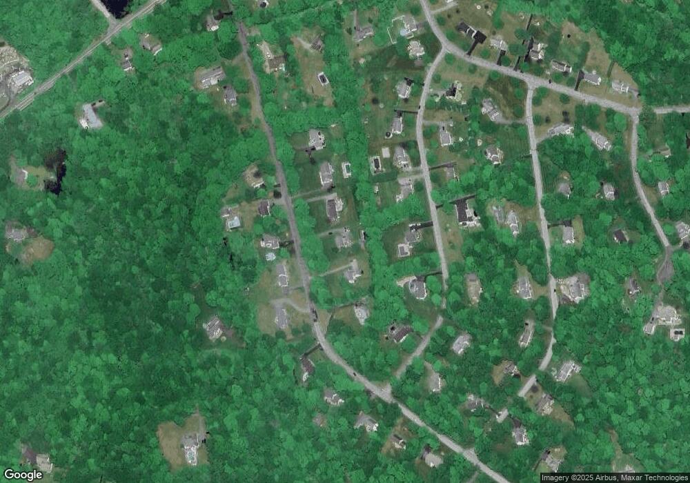
Map
Nearby Homes
- 47 Mill Landing Rd
- 14 Jeremy Way Unit 14
- 1 Church St
- 2 Church St
- 25 Smith Farm Rd
- 218 Hope Valley Rd
- 222 Gilead St
- 233 Church St
- 40 Cannon Dr
- 64 Loveland Rd
- 249 Wall St
- 65 Attawanhood Trail
- 65 Wellswood Rd
- 465 Old Slocum Rd
- 255 Millstream Rd
- 00 Zola Rd
- 88 Highland Dr
- 58 Basket Shop Rd
- 219 Martin Rd
- 0 Deepwood Dr
- 57 Country Ln
- 45 Country Ln
- 32 Deer Meadow Ln
- 24 Deer Meadow Ln
- 41 Country Ln
- 69 Country Ln
- 50 Country Ln
- 56 Country Ln
- 40 Deer Meadow Ln
- 44 Country Ln
- 20 Deer Meadow Ln
- 60 Country Ln
- 33 Country Ln
- 36 Country Ln
- 54 Deer Meadow Ln
- 18 Deer Meadow Ln
- 16 Deer Meadow Ln
- 70 Country Ln
- 25 Deer Meadow Ln
- 14 Deer Meadow Ln