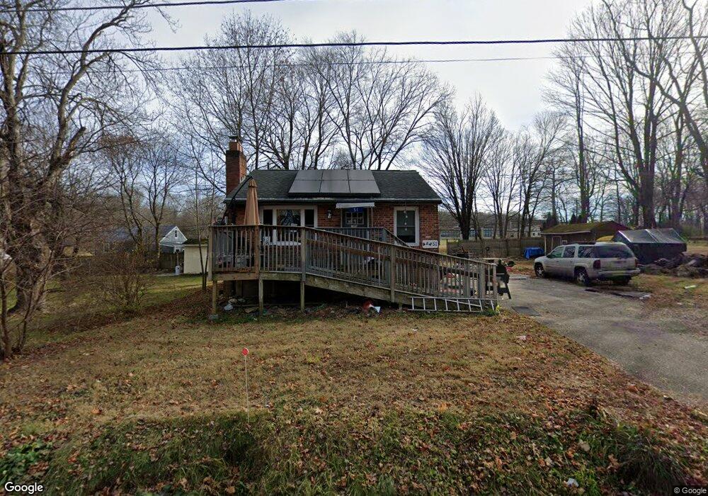
51 Dimock Rd Coventry, CT 06238
Estimated Value: $258,000 - $298,000
2
Beds
1
Bath
960
Sq Ft
$290/Sq Ft
Est. Value
About This Home
This home is located at 51 Dimock Rd, Coventry, CT 06238 and is currently estimated at $278,734, approximately $290 per square foot. 51 Dimock Rd is a home located in Tolland County with nearby schools including George Hersey Robertson School, Coventry Grammar School, and Capt. Nathan Hale School.
Ownership History
Date
Name
Owned For
Owner Type
Purchase Details
Closed on
Oct 30, 2002
Sold by
Farley Elizabeth
Bought by
Lavoie John
Current Estimated Value
Home Financials for this Owner
Home Financials are based on the most recent Mortgage that was taken out on this home.
Original Mortgage
$103,950
Outstanding Balance
$43,764
Interest Rate
6.09%
Estimated Equity
$234,970
Purchase Details
Closed on
May 24, 1990
Sold by
Avens Michael
Bought by
Farley Elizabeth
Purchase Details
Closed on
Apr 3, 1987
Sold by
Soucy Michael
Bought by
Avens Michael
Create a Home Valuation Report for This Property
The Home Valuation Report is an in-depth analysis detailing your home's value as well as a comparison with similar homes in the area
Home Values in the Area
Average Home Value in this Area
Purchase History
| Date | Buyer | Sale Price | Title Company |
|---|---|---|---|
| Lavoie John | $129,951 | -- | |
| Lavoie John | $129,951 | -- | |
| Farley Elizabeth | $115,800 | -- | |
| Avens Michael | $76,000 | -- |
Source: Public Records
Mortgage History
| Date | Status | Borrower | Loan Amount |
|---|---|---|---|
| Closed | Avens Michael | $15,000 | |
| Open | Avens Michael | $103,950 | |
| Closed | Avens Michael | $103,950 | |
| Previous Owner | Avens Michael | $100,500 |
Source: Public Records
Tax History
| Year | Tax Paid | Tax Assessment Tax Assessment Total Assessment is a certain percentage of the fair market value that is determined by local assessors to be the total taxable value of land and additions on the property. | Land | Improvement |
|---|---|---|---|---|
| 2025 | $3,923 | $165,100 | $45,200 | $119,900 |
| 2024 | $3,188 | $95,700 | $35,500 | $60,200 |
| 2023 | $2,936 | $92,500 | $35,500 | $57,000 |
| 2022 | $2,881 | $92,500 | $35,500 | $57,000 |
| 2021 | $2,881 | $92,500 | $35,500 | $57,000 |
| 2020 | $2,883 | $92,500 | $35,500 | $57,000 |
| 2019 | $2,975 | $92,400 | $35,500 | $56,900 |
| 2018 | $2,792 | $86,700 | $35,500 | $51,200 |
| 2017 | $2,774 | $86,700 | $35,500 | $51,200 |
| 2016 | $2,705 | $86,700 | $35,500 | $51,200 |
| 2015 | $2,705 | $86,700 | $35,500 | $51,200 |
| 2014 | $2,816 | $98,900 | $43,000 | $55,900 |
Source: Public Records
Map
Nearby Homes
- 198 Forest Rd
- 1358 South St
- 94 Stonehouse Rd Unit 10
- 183 Root Rd
- 0 Hinkel Mae Dr
- 152 Cheney Ln
- 27 Fox Trail
- 55 Whites Hill Rd
- 30 Knollwood Dr
- 0 Daly Rd Unit 24146464
- 103 S Street Extension
- 106 S Street Extension
- 457 Stafford Rd
- 811 Pucker St
- 127 U S 6
- 31 Wyllys Farm Rd
- 43 Wyllys Farm Rd
- 37 Wyllys Farm Rd
- 35 Wyllys Farm Rd
- 30 Wyllys Farm Rd