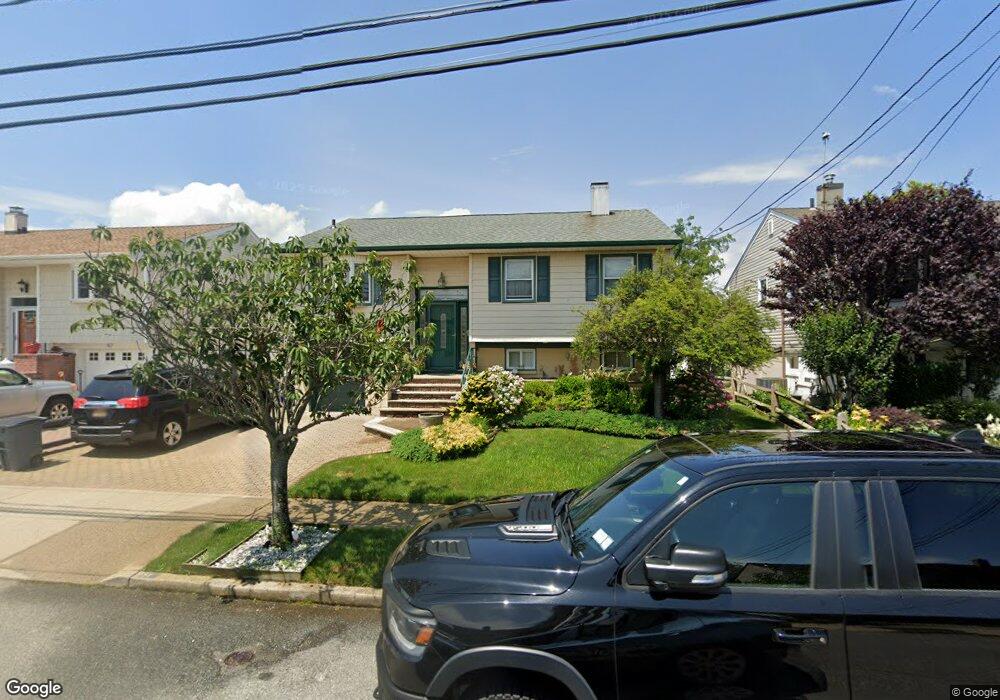
51 E 2nd St Freeport, NY 11520
Estimated Value: $712,639 - $804,000
4
Beds
2
Baths
1,378
Sq Ft
$547/Sq Ft
Est. Value
About This Home
This home is located at 51 E 2nd St, Freeport, NY 11520 and is currently estimated at $753,910, approximately $547 per square foot. 51 E 2nd St is a home located in Nassau County with nearby schools including Columbus Avenue School, Caroline G. Atkinson Intermediate School, and John W Dodd Middle School.
Ownership History
Date
Name
Owned For
Owner Type
Purchase Details
Closed on
May 15, 2024
Sold by
Nieves Hilda and Nieves Cesar
Bought by
Nieves Steven C and Holda Nieves Trust
Current Estimated Value
Purchase Details
Closed on
Sep 6, 2001
Sold by
Mahler Erik C
Bought by
Nieves Cesar
Purchase Details
Closed on
Mar 20, 2001
Sold by
Mercouris Joylyn I
Bought by
Mahler Erik C
Create a Home Valuation Report for This Property
The Home Valuation Report is an in-depth analysis detailing your home's value as well as a comparison with similar homes in the area
Home Values in the Area
Average Home Value in this Area
Purchase History
| Date | Buyer | Sale Price | Title Company |
|---|---|---|---|
| Nieves Steven C | -- | None Available | |
| Nieves Steven C | -- | None Available | |
| Nieves Steven C | -- | None Available | |
| Nieves Cesar | $320,000 | Kenneth M Keith | |
| Nieves Cesar | $320,000 | Kenneth M Keith | |
| Mahler Erik C | $190,000 | Tom Dougherty | |
| Mahler Erik C | $190,000 | Tom Dougherty |
Source: Public Records
Tax History
| Year | Tax Paid | Tax Assessment Tax Assessment Total Assessment is a certain percentage of the fair market value that is determined by local assessors to be the total taxable value of land and additions on the property. | Land | Improvement |
|---|---|---|---|---|
| 2025 | $6,436 | $428 | $156 | $272 |
| 2024 | $883 | $447 | $163 | $284 |
| 2023 | $6,668 | $459 | $167 | $292 |
| 2022 | $6,668 | $447 | $163 | $284 |
| 2021 | $6,443 | $440 | $160 | $280 |
| 2020 | $3,784 | $594 | $593 | $1 |
| 2019 | $5,679 | $594 | $513 | $81 |
| 2017 | $6,328 | $765 | $562 | $203 |
| 2016 | $7,477 | $765 | $562 | $203 |
| 2015 | $1,085 | $900 | $661 | $239 |
| 2014 | $1,085 | $900 | $661 | $239 |
| 2013 | $1,013 | $900 | $661 | $239 |
Source: Public Records
Map
Nearby Homes
- 4 Laurette Ln
- 92 Ann Dr S
- 50 Ann Dr E
- 54 W 2nd St
- 69 Ann Dr S
- 7 Ocean Watch Ct
- 8 Ocean Watch Ct
- 9 Ocean Watch Ct
- 10 Ocean Watch Ct
- 11 Ocean Watch Ct
- 12 Ocean Watch Ct
- 13 Ocean Watch Ct
- 54 Ocean Watch Ct
- 308 Bedell St
- 176 Gordon Place
- 268 Gordon Place
- 130 Gordon Place
- 121 Garfield St
- 251 Arthur St
- 21 Stillwell Place
Your Personal Tour Guide
Ask me questions while you tour the home.