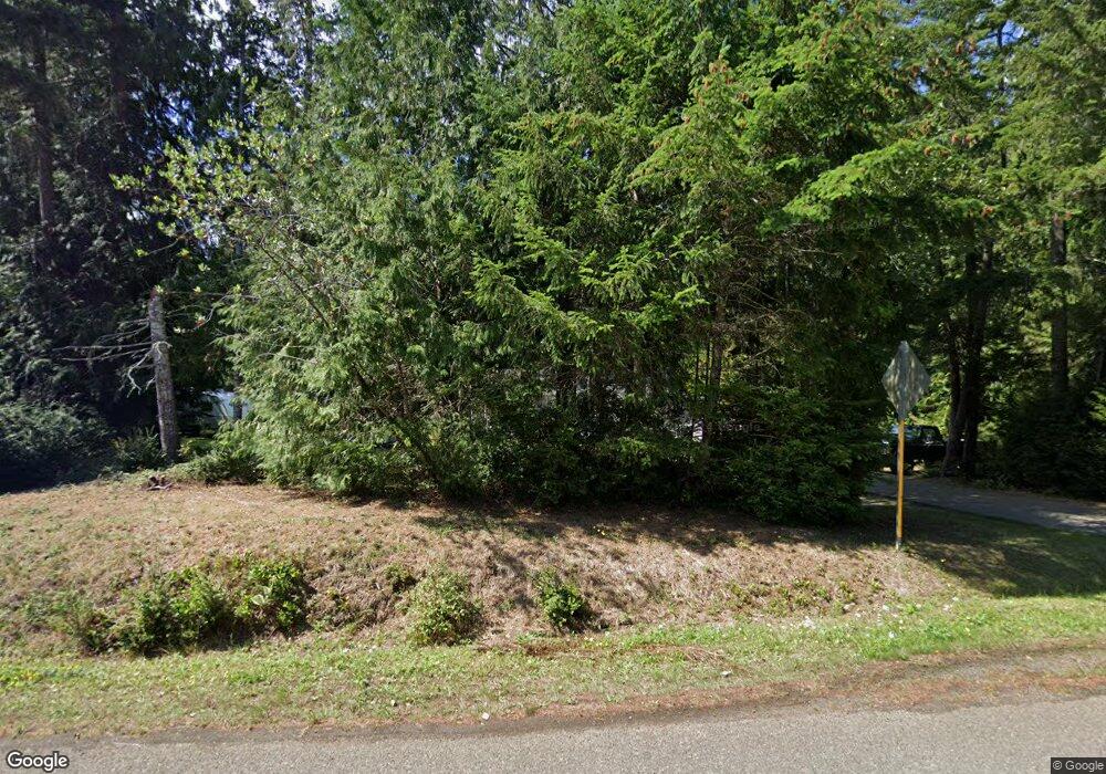
Estimated Value: $548,000 - $700,000
3
Beds
2
Baths
1,834
Sq Ft
$345/Sq Ft
Est. Value
About This Home
This home is located at 51 E Cronquist Rd, Allyn, WA 98524 and is currently estimated at $633,368, approximately $345 per square foot. 51 E Cronquist Rd is a home located in Mason County with nearby schools including Grapeview Elementary/Middle School.
Ownership History
Date
Name
Owned For
Owner Type
Purchase Details
Closed on
Jan 26, 2005
Sold by
Stephen Johnson Inc
Bought by
Minnis Anthony J
Current Estimated Value
Home Financials for this Owner
Home Financials are based on the most recent Mortgage that was taken out on this home.
Original Mortgage
$36,000
Interest Rate
5.25%
Mortgage Type
Stand Alone Second
Create a Home Valuation Report for This Property
The Home Valuation Report is an in-depth analysis detailing your home's value as well as a comparison with similar homes in the area
Purchase History
| Date | Buyer | Sale Price | Title Company |
|---|---|---|---|
| Minnis Anthony J | $180,000 | Land Title Co |
Source: Public Records
Mortgage History
| Date | Status | Borrower | Loan Amount |
|---|---|---|---|
| Closed | Minnis Anthony J | $36,000 | |
| Open | Minnis Anthony J | $144,000 |
Source: Public Records
Tax History
| Year | Tax Paid | Tax Assessment Tax Assessment Total Assessment is a certain percentage of the fair market value that is determined by local assessors to be the total taxable value of land and additions on the property. | Land | Improvement |
|---|---|---|---|---|
| 2025 | $4,283 | $575,585 | $96,350 | $479,235 |
| 2023 | $4,283 | $499,610 | $94,905 | $404,705 |
| 2022 | $3,706 | $420,150 | $62,700 | $357,450 |
| 2021 | $3,230 | $420,150 | $62,700 | $357,450 |
| 2020 | $2,837 | $364,525 | $48,230 | $316,295 |
| 2018 | $2,737 | $250,615 | $36,700 | $213,915 |
| 2017 | $2,358 | $250,755 | $36,840 | $213,915 |
| 2016 | $2,258 | $229,555 | $35,085 | $194,470 |
| 2015 | $2,227 | $219,265 | $38,745 | $180,520 |
| 2014 | -- | $207,850 | $34,650 | $173,200 |
| 2013 | -- | $193,760 | $29,925 | $163,835 |
Source: Public Records
Map
Nearby Homes
- 90 E Treasure Island Dr
- 7360 E Grapeview Loop Rd
- 350 E Mountain View Dr
- 116th 166th St NW
- 40 E Lakeshore Dr
- 0 E Wheelwright St S
- 0 E Murray Rd N Unit NWM2467437
- 101 E Mountain View Dr
- 0 Sullivan Rd
- 31 E Village View Dr
- 311 E Murray Rd N
- 30 E Compass Ln Unit A98524
- 17 E Sellegren Rd
- 61 E Brady Loop
- 453 E Victor Rd
- 0 xxx Wheelwright St N
- 140 E Sullivan St
- 0 xxxx E Sullivan St
- 430 Twilight Way
- 350 E Fairway Dr
- 50 E Cronquist Rd
- 40 Xx Cronquist Rd
- 41 E Detroit Dr
- 51 E Detroit Dr
- 50 E Detroit Dr
- 71 E Detroit Dr
- 200 E Cronquist Rd
- 60 E Detroit Dr
- 81 E Detroit Dr
- 80 E Detroit Dr
- 220 E Cronquist Rd
- 101 E Detroit Dr
- 121 E Detroit Dr
- 6030 E Grapeview Loop Rd
- 120 E Detroit Dr
- 131 E Detroit Dr
- 5741 E Grapeview Loop Rd
- 151 E Detroit Dr
- 140 E Detroit Dr
- 161 E Detroit Dr
