51 Ford St Unit F Methuen, MA 01844
The East End NeighborhoodEstimated Value: $254,000 - $328,000
2
Beds
1
Bath
822
Sq Ft
$350/Sq Ft
Est. Value
About This Home
This home is located at 51 Ford St Unit F, Methuen, MA 01844 and is currently estimated at $287,520, approximately $349 per square foot. 51 Ford St Unit F is a home located in Essex County with nearby schools including Timony Grammar School, Methuen High School, and Community Day Charter Public School - Gateway.
Ownership History
Date
Name
Owned For
Owner Type
Purchase Details
Closed on
May 16, 2003
Sold by
Minahan Paula A
Bought by
Solano Cory
Current Estimated Value
Home Financials for this Owner
Home Financials are based on the most recent Mortgage that was taken out on this home.
Original Mortgage
$134,900
Outstanding Balance
$58,844
Interest Rate
5.84%
Mortgage Type
Purchase Money Mortgage
Estimated Equity
$228,676
Create a Home Valuation Report for This Property
The Home Valuation Report is an in-depth analysis detailing your home's value as well as a comparison with similar homes in the area
Home Values in the Area
Average Home Value in this Area
Purchase History
| Date | Buyer | Sale Price | Title Company |
|---|---|---|---|
| Solano Cory | $135,900 | -- | |
| Solano Cory | $135,900 | -- |
Source: Public Records
Mortgage History
| Date | Status | Borrower | Loan Amount |
|---|---|---|---|
| Open | Solano Cory | $134,900 | |
| Closed | Solano Cory | $134,900 | |
| Previous Owner | Solano Cory | $46,000 | |
| Previous Owner | Solano Cory | $20,000 | |
| Previous Owner | Solano Cory | $46,430 |
Source: Public Records
Tax History Compared to Growth
Tax History
| Year | Tax Paid | Tax Assessment Tax Assessment Total Assessment is a certain percentage of the fair market value that is determined by local assessors to be the total taxable value of land and additions on the property. | Land | Improvement |
|---|---|---|---|---|
| 2025 | $2,704 | $255,600 | $0 | $255,600 |
| 2024 | $2,436 | $224,300 | $0 | $224,300 |
| 2023 | $2,046 | $174,900 | $0 | $174,900 |
| 2022 | $2,089 | $160,100 | $0 | $160,100 |
| 2021 | $2,013 | $152,600 | $0 | $152,600 |
| 2020 | $1,746 | $129,900 | $0 | $129,900 |
| 2019 | $1,781 | $125,500 | $0 | $125,500 |
| 2018 | $1,588 | $111,300 | $0 | $111,300 |
| 2017 | $1,440 | $98,300 | $0 | $98,300 |
| 2016 | $1,404 | $94,800 | $0 | $94,800 |
| 2015 | $1,276 | $87,400 | $0 | $87,400 |
Source: Public Records
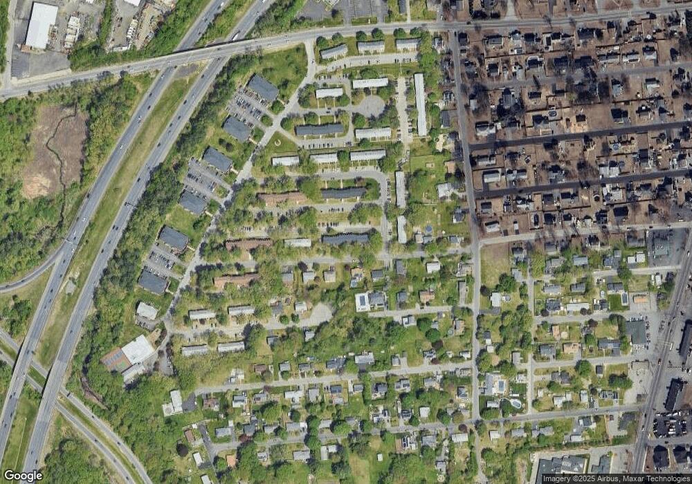
Map
Nearby Homes
- 23 Constitution Way Unit 23
- 23 Constitution Way
- 95 Pilgrim Cir Unit 95
- 46 Gaston St
- 10 Albermarle St
- 331 Merrimack St
- 29 Wallace St
- 29 Pitman St
- 22 Derry Rd
- 40 Comet Rd
- 48 Wingate Ave
- 128 Pleasant Valley St
- 17 Ferry Rd
- 66 Newbury Ave
- 122 Pleasant Valley St
- 34 Varnum Ave
- 36 W Ayer St
- 26 Oakmeadow Ln
- 144 Merrimack St
- 171 Oak St
- 51 Ford St Unit E
- 51 Ford St Unit D
- 51 Ford St Unit C
- 51 Ford St Unit B
- 51 Ford St Unit A
- 55 Ford St Unit F
- 55 Ford St Unit E
- 55 Ford St Unit D
- 55 Ford St Unit C
- 55 Ford St Unit B
- 55 Ford St Unit A
- 59 Ford St Unit F
- 59 Ford St Unit E
- 59 Ford St Unit D
- 59 Ford St Unit C
- 59 Ford St Unit B
- 59 Ford St Unit A
- 59 Ford St Unit D,59
- 59 Ford St Unit 26-C
- 51 Ford St