51 Frank d Lawrence Rd Brewster, MA 02631
Brewster AreaEstimated Value: $634,000 - $814,000
About This Home
This home is located at 51 Frank d Lawrence Rd, Brewster, MA 02631 and is currently estimated at $743,054, approximately $774 per square foot. 51 Frank d Lawrence Rd is a home located in Barnstable County with nearby schools including Stony Brook Elementary School, Eddy Elementary School, and Nauset Regional Middle School.
Ownership History
We collect this data history from publicly available records. To have your information removed, we recommend requesting removal directly through your county’s website.
Purchase Details
Purchase Details
Home Values in the Area
Average Home Value in this Area
Purchase History
We collect this data history from publicly available records. To have your information removed, we recommend requesting removal directly through your county’s website.
| Date | Buyer | Sale Price | Title Company |
|---|---|---|---|
| $20,000 | -- | ||
| $96,900 | -- |
Tax History
We collect this data history from publicly available records. To have your information removed, we recommend requesting removal directly through your county’s website.
| Year | Tax Paid | Tax Assessment Tax Assessment Total Assessment is a certain percentage of the fair market value that is determined by local assessors to be the total taxable value of land and additions on the property. | Land | Improvement |
|---|---|---|---|---|
| 2025 | $4,328 | $629,100 | $466,400 | $162,700 |
| 2024 | $4,042 | $593,600 | $440,000 | $153,600 |
| 2023 | $3,719 | $532,100 | $392,800 | $139,300 |
| 2022 | $3,483 | $443,700 | $327,200 | $116,500 |
| 2021 | $3,331 | $388,200 | $284,500 | $103,700 |
| 2020 | $4,200 | $487,200 | $389,100 | $98,100 |
| 2019 | $4,087 | $476,300 | $380,300 | $96,000 |
| 2018 | $3,888 | $470,700 | $380,300 | $90,400 |
| 2017 | $3,913 | $466,400 | $380,300 | $86,100 |
| 2016 | $3,824 | $453,600 | $373,000 | $80,600 |
| 2015 | $3,679 | $445,400 | $365,600 | $79,800 |
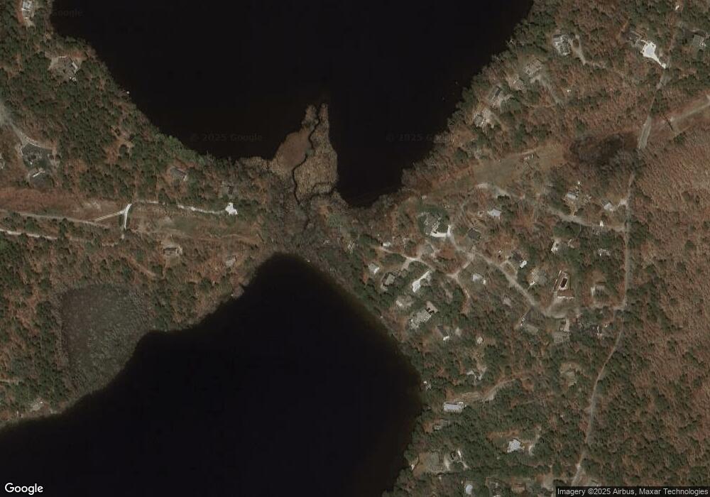
Map
- 43 Frank d Lawrence Rd
- 34 Frank d Lawrence Rd
- 20 Frank d Lawrence Rd
- 19 Frank d Lawrence Rd
- 19 Frank d Lawrence Rd
- 80 Mill Pond Dr
- 11 Frank d Lawrence Rd
- 9 Frank d Lawrence Rd
- 108 Mill Pond Dr
- 91 Mill Pond Dr
- 61 Dicks Way
- 53 Mill Pond Dr
- 50 Mill Pond Dr
- 0 Mill Pond Dr
- 117 Mill Pond Dr
- 128 Mill Pond Dr
- 37 Frank d Lawrence Rd
- 37 George Darby Cartway
- 394 Run Hill Rd
- 133 Hornbeam Hill Rd
Ask me questions while you tour the home.