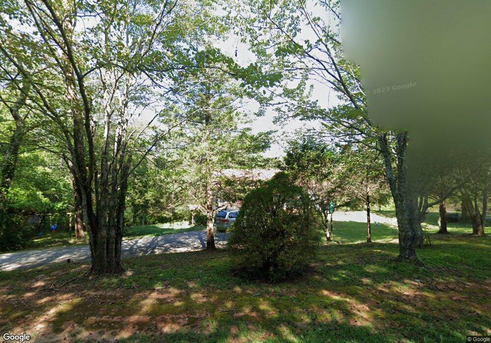
51 Galahad Rd Dahlonega, GA 30533
Estimated Value: $101,000 - $122,000
2
Beds
2
Baths
1,120
Sq Ft
$104/Sq Ft
Est. Value
About This Home
This home is located at 51 Galahad Rd, Dahlonega, GA 30533 and is currently estimated at $116,145, approximately $103 per square foot. 51 Galahad Rd is a home located in Lumpkin County with nearby schools including Clay County Middle School and Lumpkin County High School.
Ownership History
Date
Name
Owned For
Owner Type
Purchase Details
Closed on
Jul 1, 2025
Sold by
Anderson Sandra
Bought by
Waters Bobby Steve
Current Estimated Value
Home Financials for this Owner
Home Financials are based on the most recent Mortgage that was taken out on this home.
Original Mortgage
$90,000
Outstanding Balance
$87,868
Interest Rate
6.85%
Mortgage Type
New Conventional
Estimated Equity
$28,277
Create a Home Valuation Report for This Property
The Home Valuation Report is an in-depth analysis detailing your home's value as well as a comparison with similar homes in the area
Home Values in the Area
Average Home Value in this Area
Purchase History
| Date | Buyer | Sale Price | Title Company |
|---|---|---|---|
| Waters Bobby Steve | $120,000 | -- |
Source: Public Records
Mortgage History
| Date | Status | Borrower | Loan Amount |
|---|---|---|---|
| Open | Waters Bobby Steve | $90,000 |
Source: Public Records
Tax History Compared to Growth
Tax History
| Year | Tax Paid | Tax Assessment Tax Assessment Total Assessment is a certain percentage of the fair market value that is determined by local assessors to be the total taxable value of land and additions on the property. | Land | Improvement |
|---|---|---|---|---|
| 2024 | $1,397 | $59,278 | $8,000 | $51,278 |
| 2023 | $1,317 | $55,990 | $8,000 | $47,990 |
| 2022 | $1,216 | $49,107 | $8,000 | $41,107 |
| 2021 | $1,099 | $42,938 | $8,000 | $34,938 |
| 2020 | $1,136 | $40,048 | $6,000 | $34,048 |
| 2019 | $1,136 | $40,048 | $6,000 | $34,048 |
| 2018 | $1,023 | $36,070 | $6,000 | $30,070 |
| 2017 | $0 | $35,743 | $6,000 | $29,743 |
| 2016 | $937 | $33,452 | $6,000 | $27,452 |
| 2015 | -- | $33,452 | $6,000 | $27,452 |
| 2014 | -- | $33,952 | $6,000 | $27,952 |
| 2013 | -- | $34,452 | $6,000 | $28,452 |
Source: Public Records
Map
Nearby Homes
- 94 King Arthur Ct
- 238 Sunrise Trail
- 260 Holly Ln
- 0 Myrtle Dr Unit 7650061
- 0 Myrtle Dr Unit 10607430
- 0 Gold View Dr
- 87 Tolleffs Trail
- 6480 Highway 52 W
- 668 Gold Cove Dr
- 151 Norris Rd
- 219 John Garner Rd
- 128 Young Deer Dr
- 1228 Winters Mountain Rd
- 962 Winters Mountain Rd
- 0 Bearden Rd Unit 10598024
- 0 Bearden Rd Unit 7642996
- 100 Rocky Branch Dr
- 245 Perkins Rd
- 205 Perkins Rd
- 100 Galahad Rd
- 97 Shenandoah Dr
- 0 Shenandoah Dr Unit LOT 2 3260763
- 0 Shenandoah Dr Unit LOT 1 3260752
- 0 Shenandoah Dr Unit LOT 33 7316242
- 0 Shenandoah Dr Unit LOT 28 7316230
- 0 Shenandoah Dr Unit LOT 22 7316217
- 0 Shenandoah Dr Unit LOT 4 7316191
- 0 Shenandoah Dr Unit LOT 2 7316186
- 0 Shenandoah Dr Unit LOT 1 7316161
- 33 Shenandoah Dr
- 2 Shenandoah Dr
- 0 Shenandoah Dr Unit 8838155
- 0 Shenandoah Dr Unit 8931377
- 0 Shenandoah Dr Unit 3145777
- 0 Shenandoah Dr Unit 3231829
- 0 Shenandoah Dr Unit 3255752
- 0 Shenandoah Dr Unit 7022367
- 0 Shenandoah Dr Unit 7033633
- 0 Shenandoah Dr Unit 7115424